Ride for 40
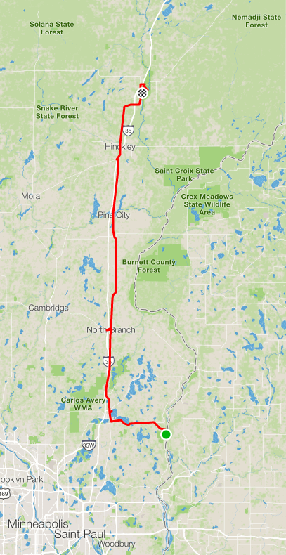
498.54 miles across Minnesota. A cross-state cycling adventure.
Getting ready this week
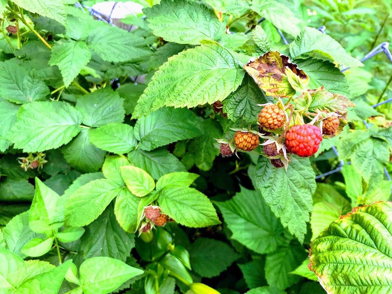
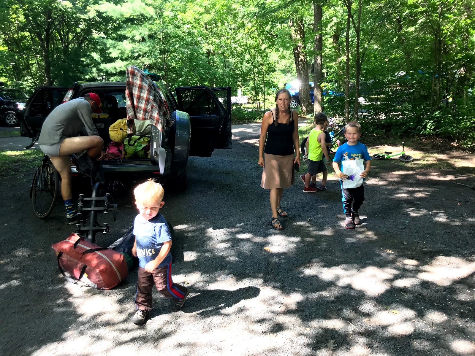
We have been grocery shopping, making lists, and getting excited to head out on the road for 9 days of camping and travel across Minnesota! Slightly off topic, but our raspberries will be ready for picking soon! I can't wait
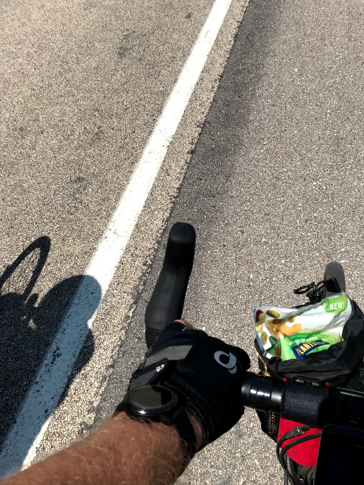
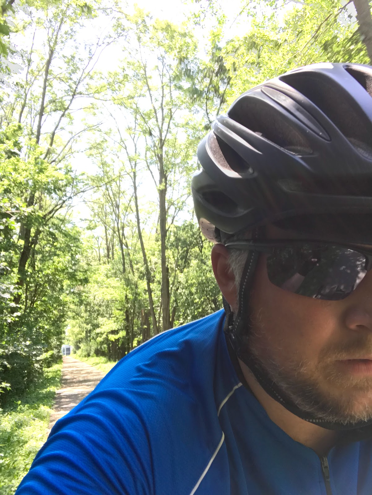
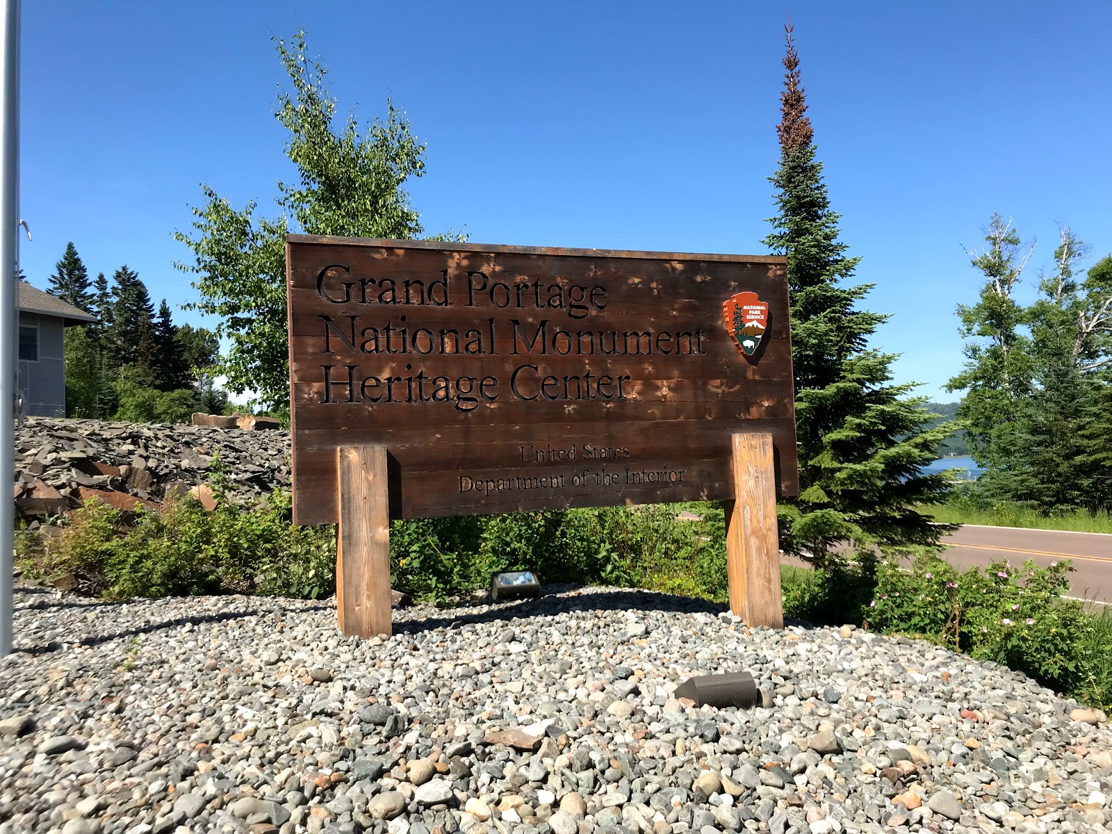
One of the more interesting things I discovered while riding my bike over this distance was that when I was forced to slow down (compared to driving), I saw the entire landscape from a completely different perspective. From the sleepy river towns, to the small northern communities, all the way to the final stop at the reservation in Grand Portage, we had the opportunity to really take in the people and the landscape at a slower pace.
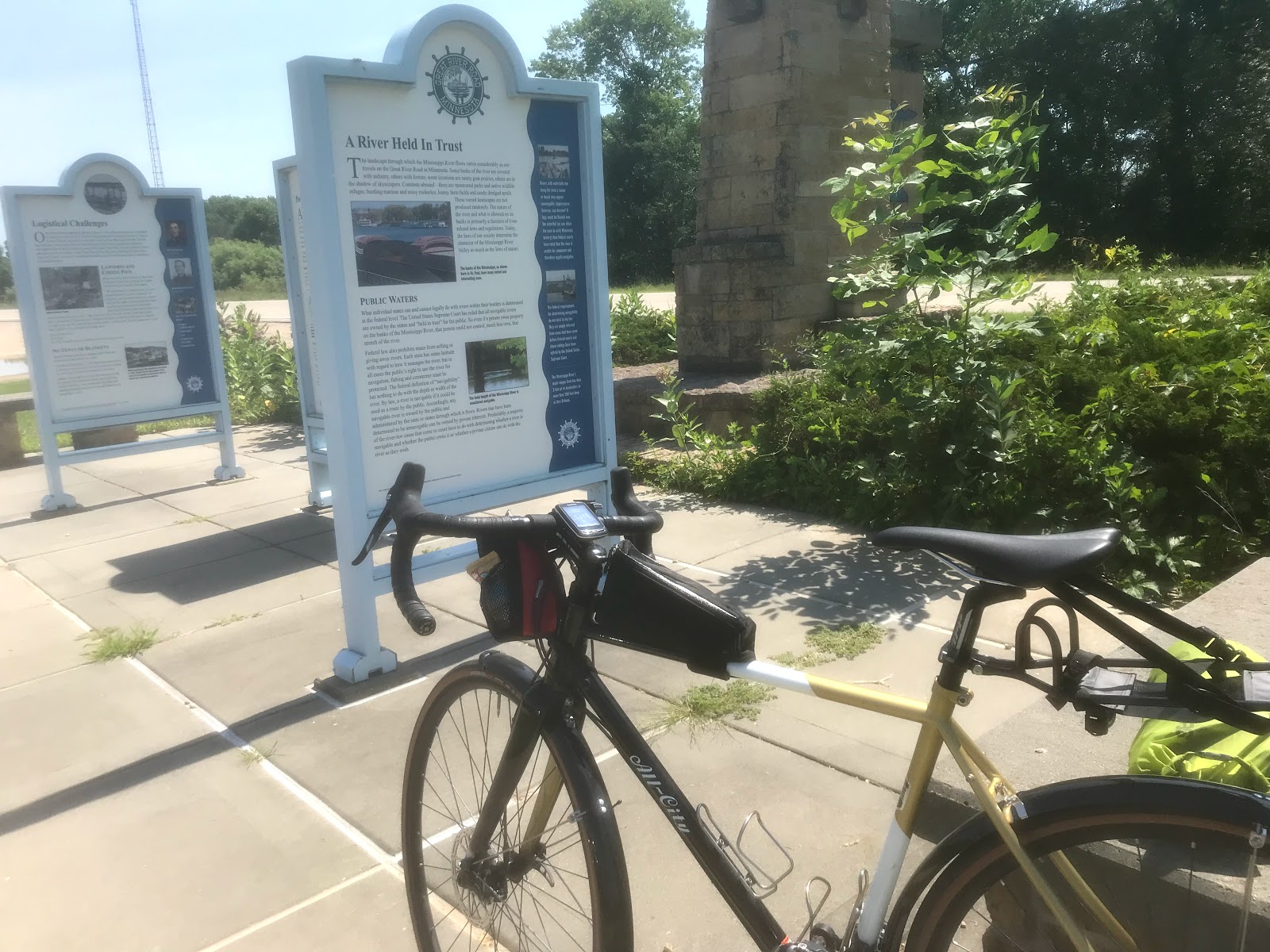
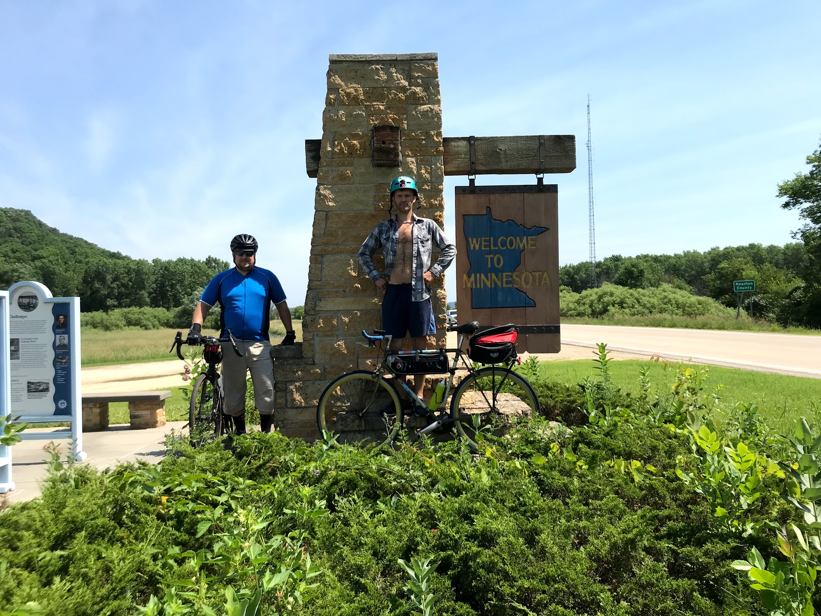
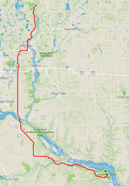
Starting Point
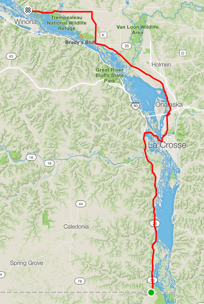
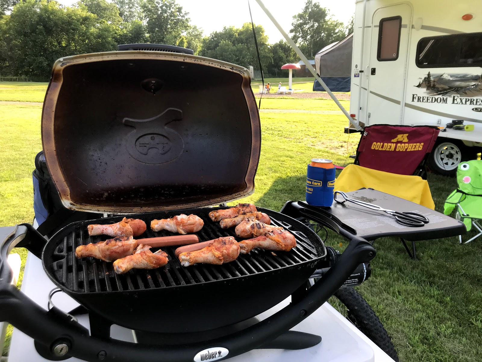
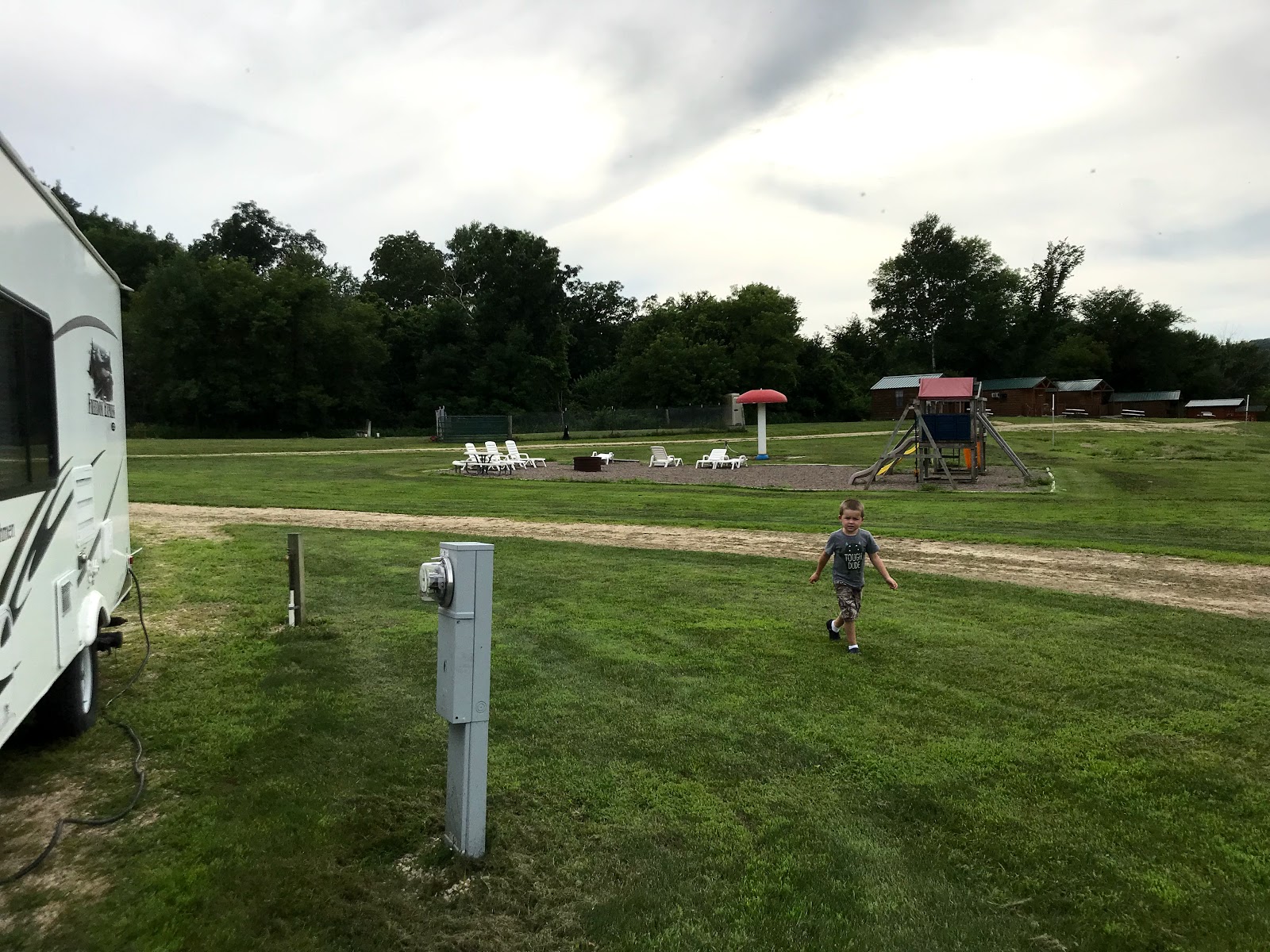
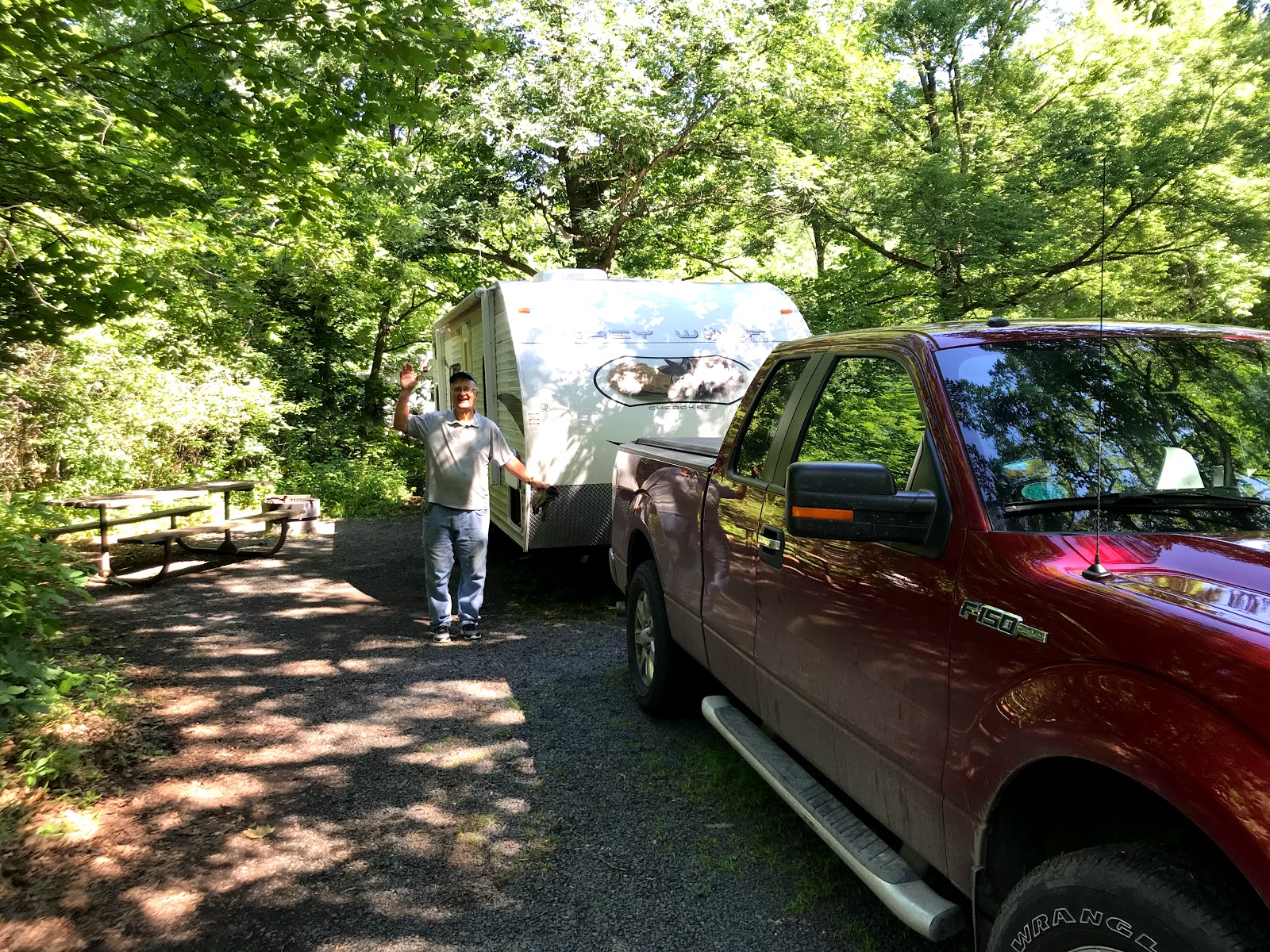
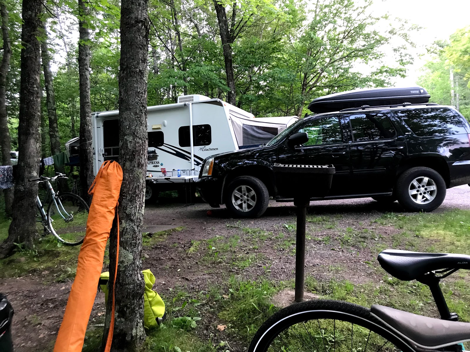
Day 1: Iowa to First Campground (Sleepy Hollow Campground)
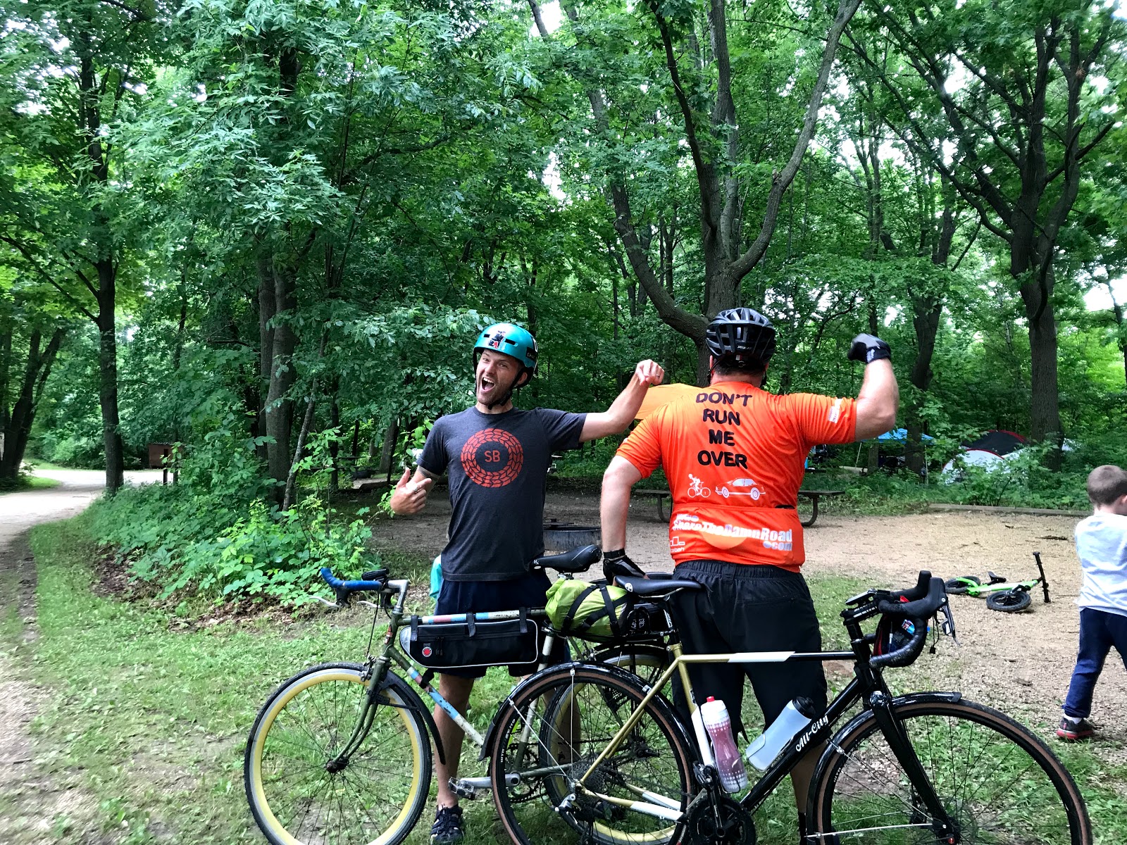
Checked in: Sleepy Hollow Campground
This neat little place is nestled in between five or six big bluffs in the river valley here. The boys are having a blast. It looks like the next few days will be HOT!
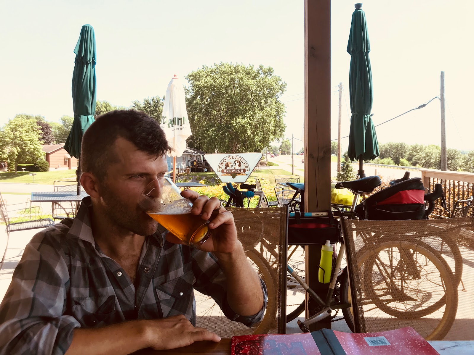
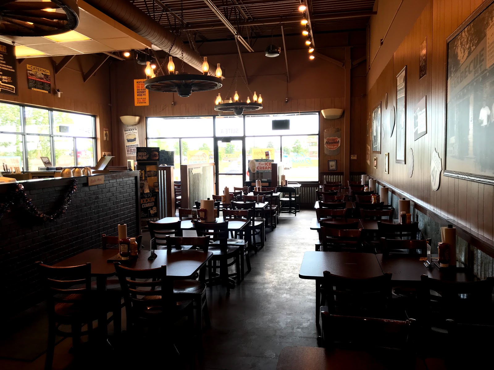
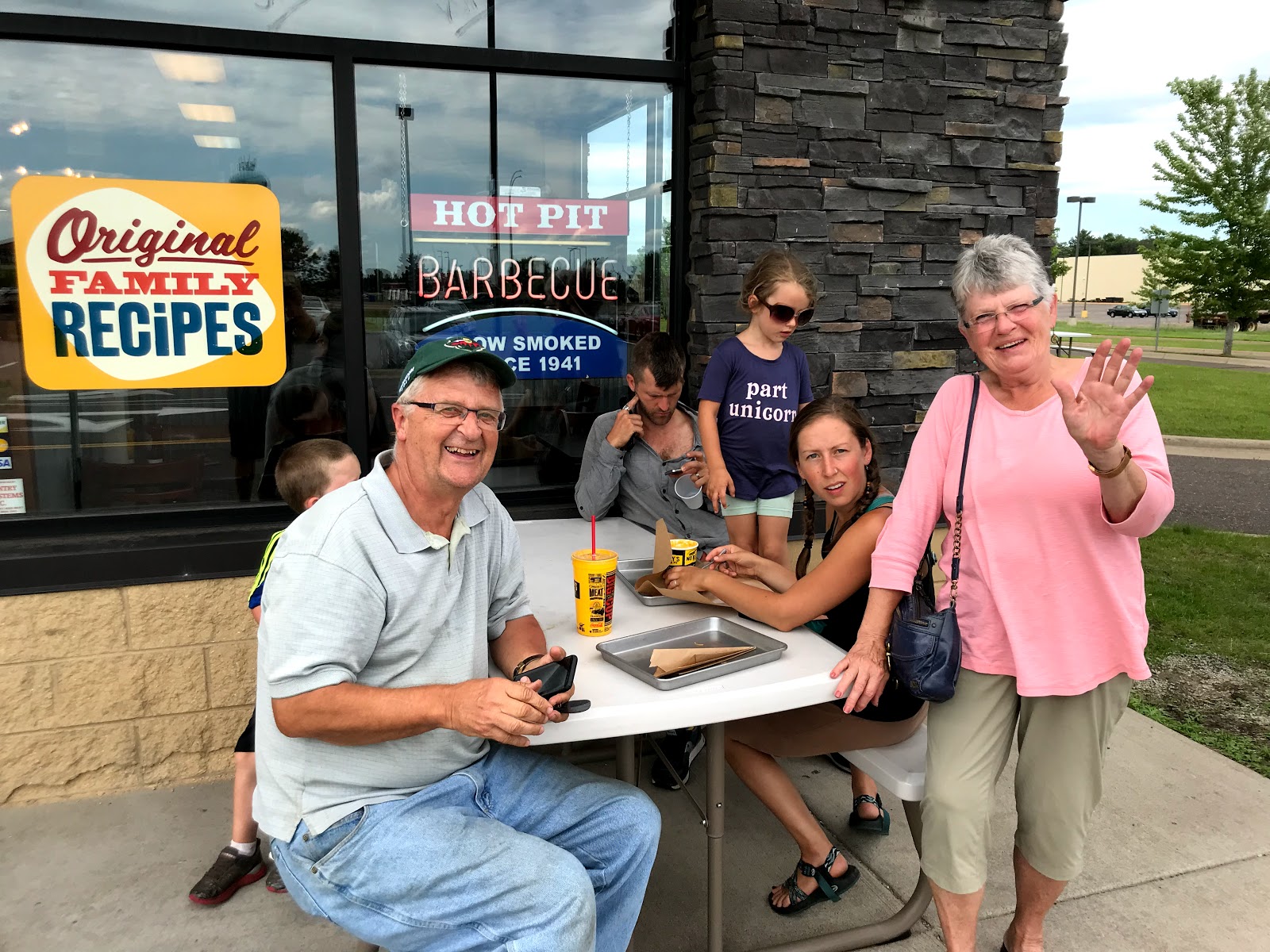
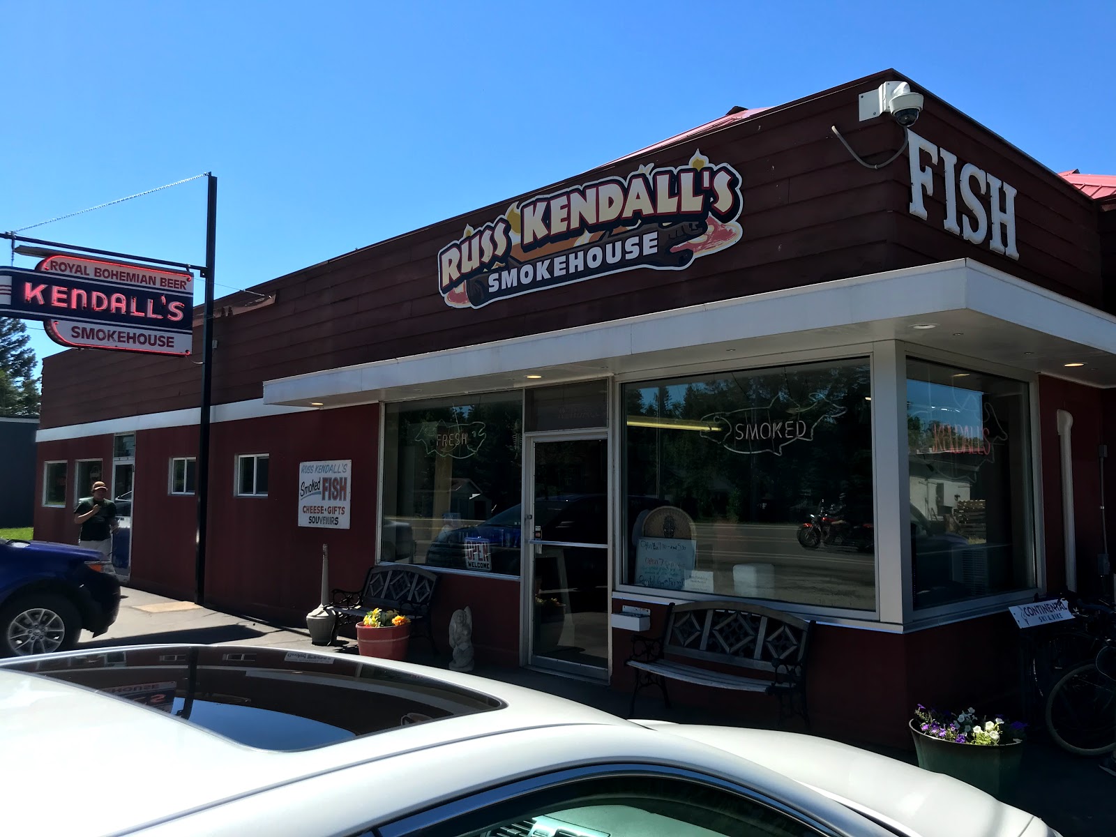
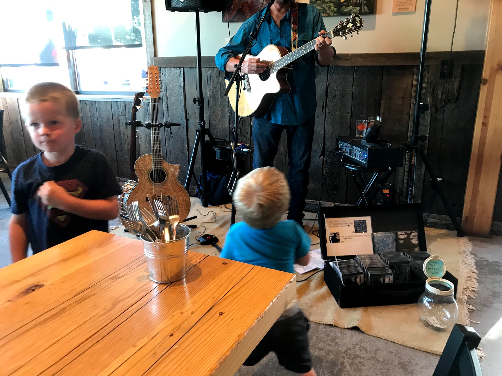
Midday stop @Two Beagles
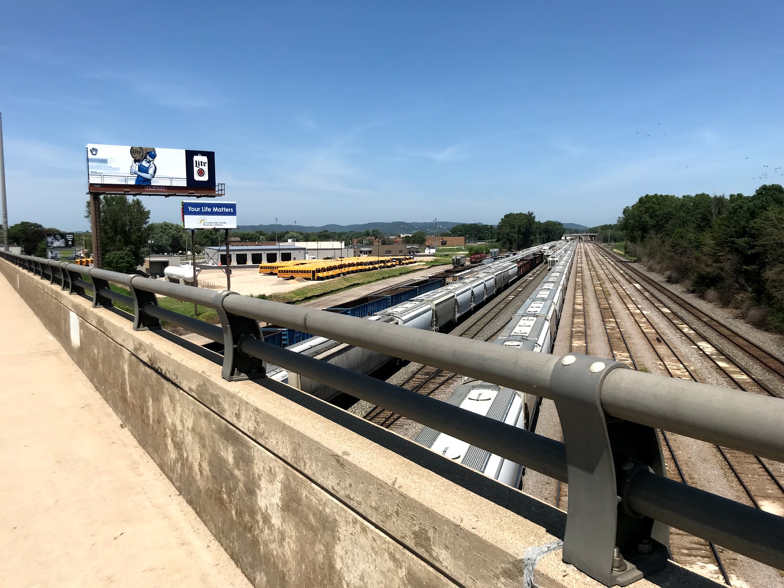
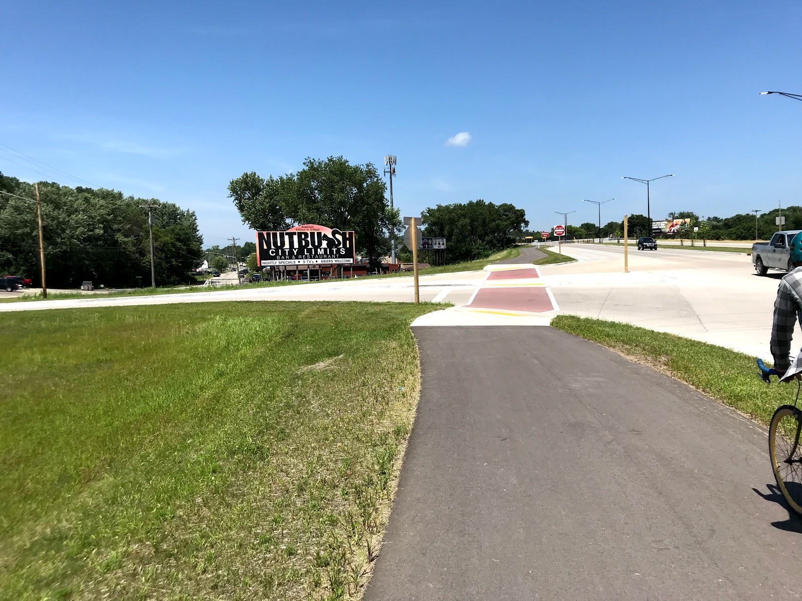
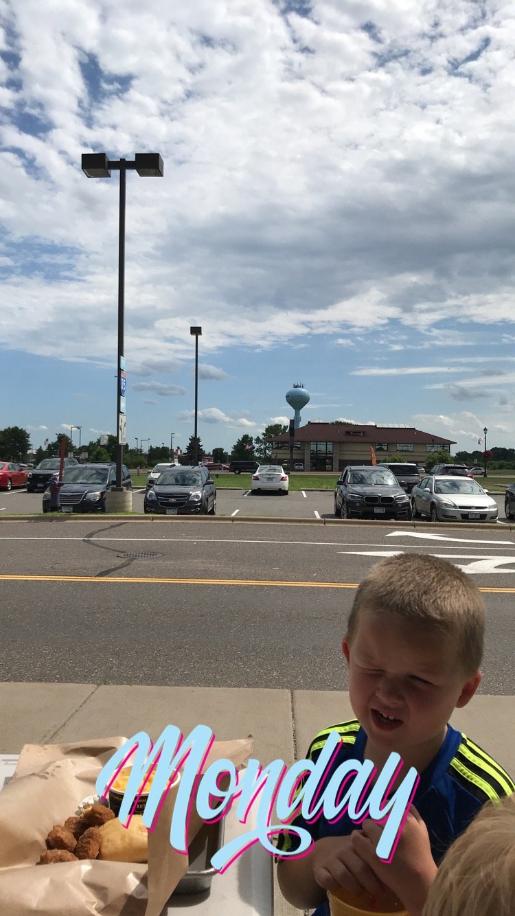
To say today has been a hot one might be the understatement of the year. This started off in Iowa, where stepping out of the car on the hot blacktop road equates to a full flop sweat, when we left Iowa it was warm but the wind was at our backs. Anyway here are some photos!
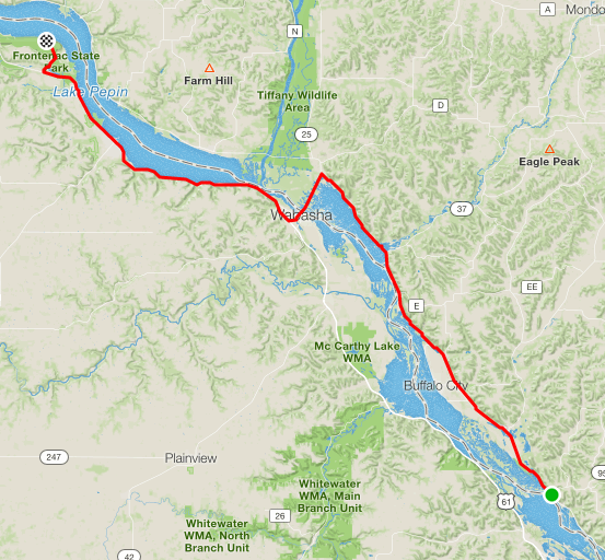
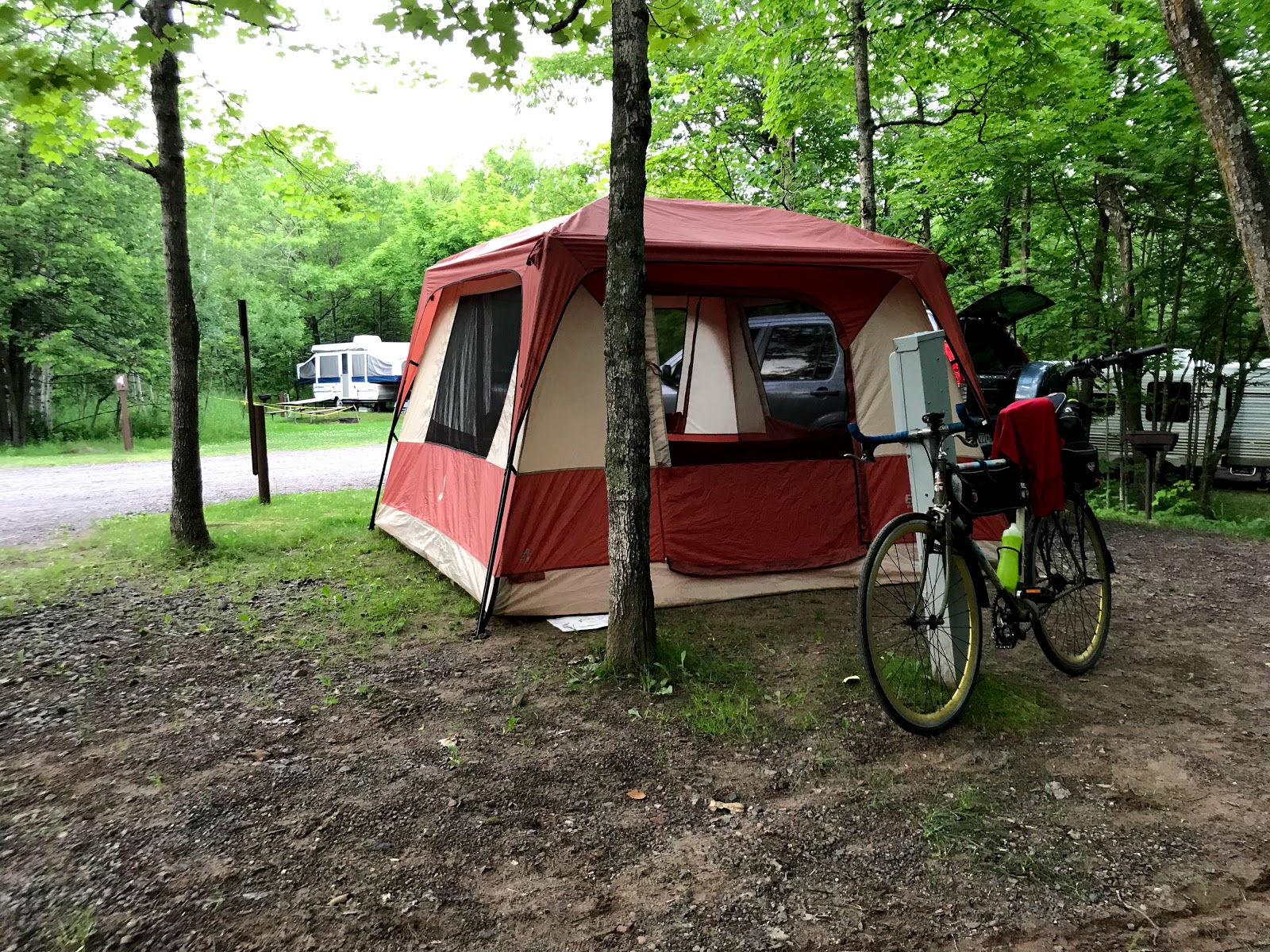
Day 2: Sleepy Hollow Campground to Frontenac State Park
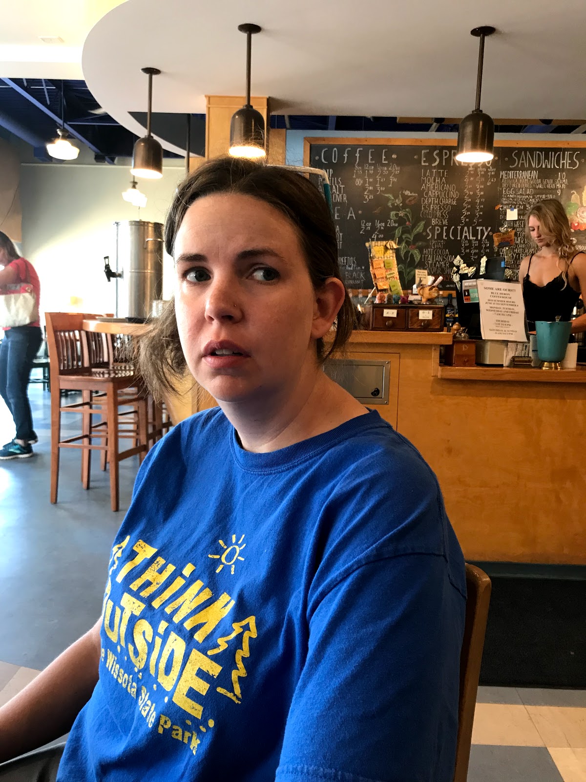
Blue Heron breakfast
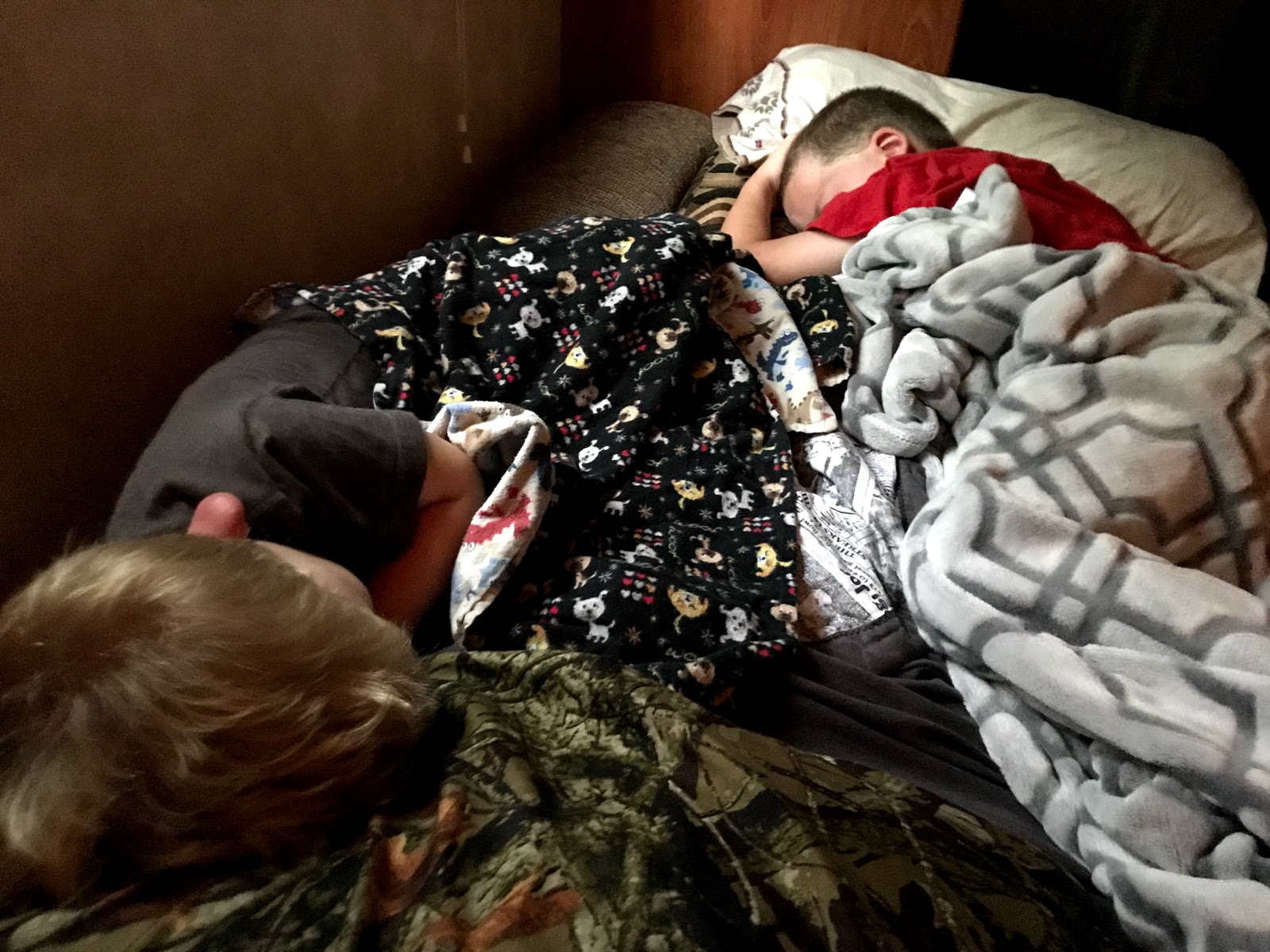
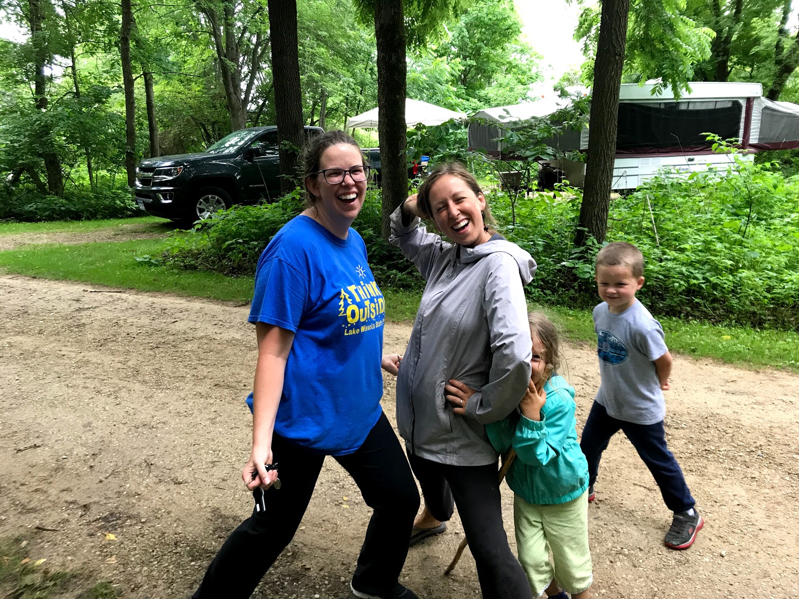
Overtired boys means overtired momma. First morning camping can be rough. :p
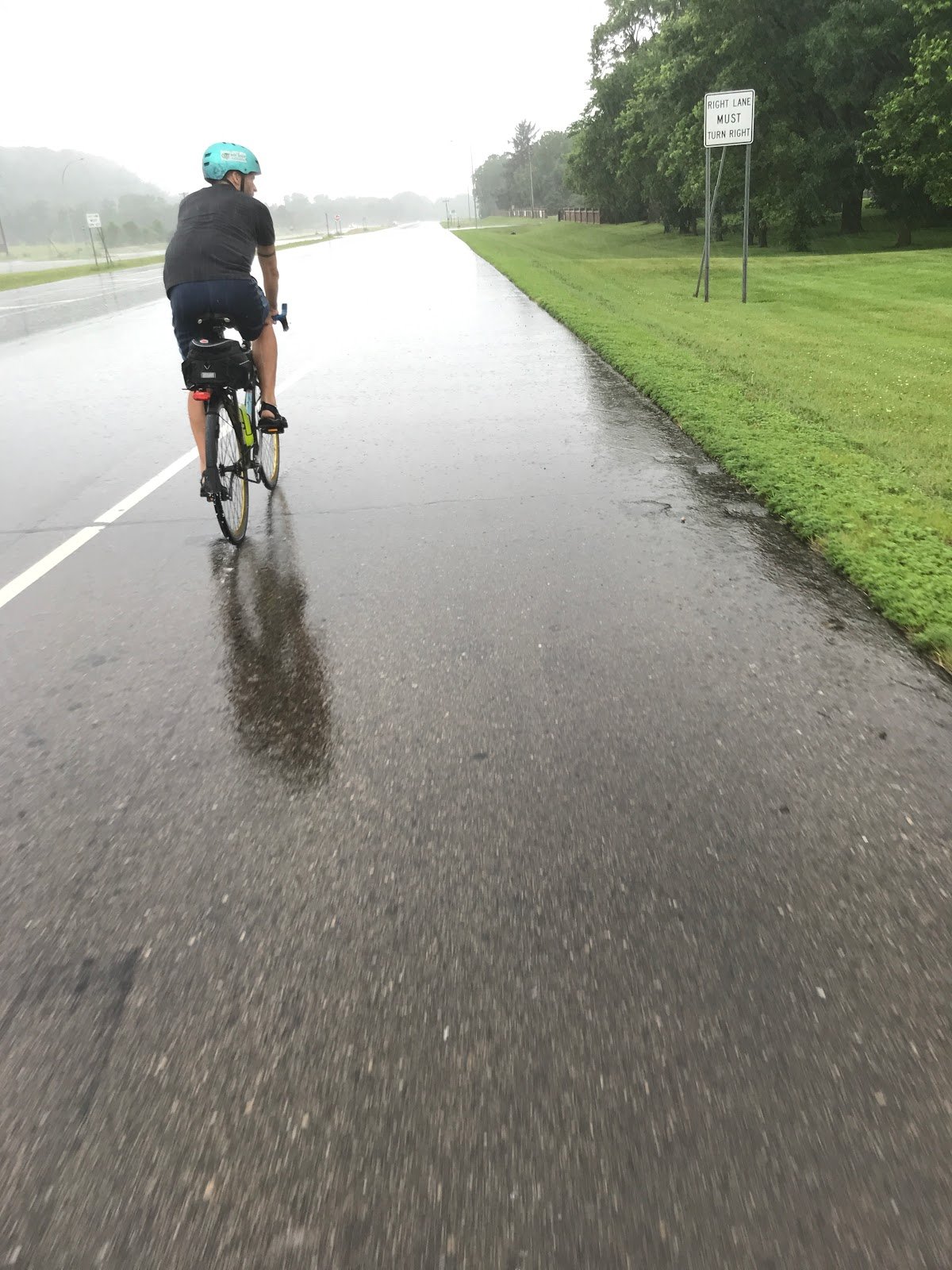
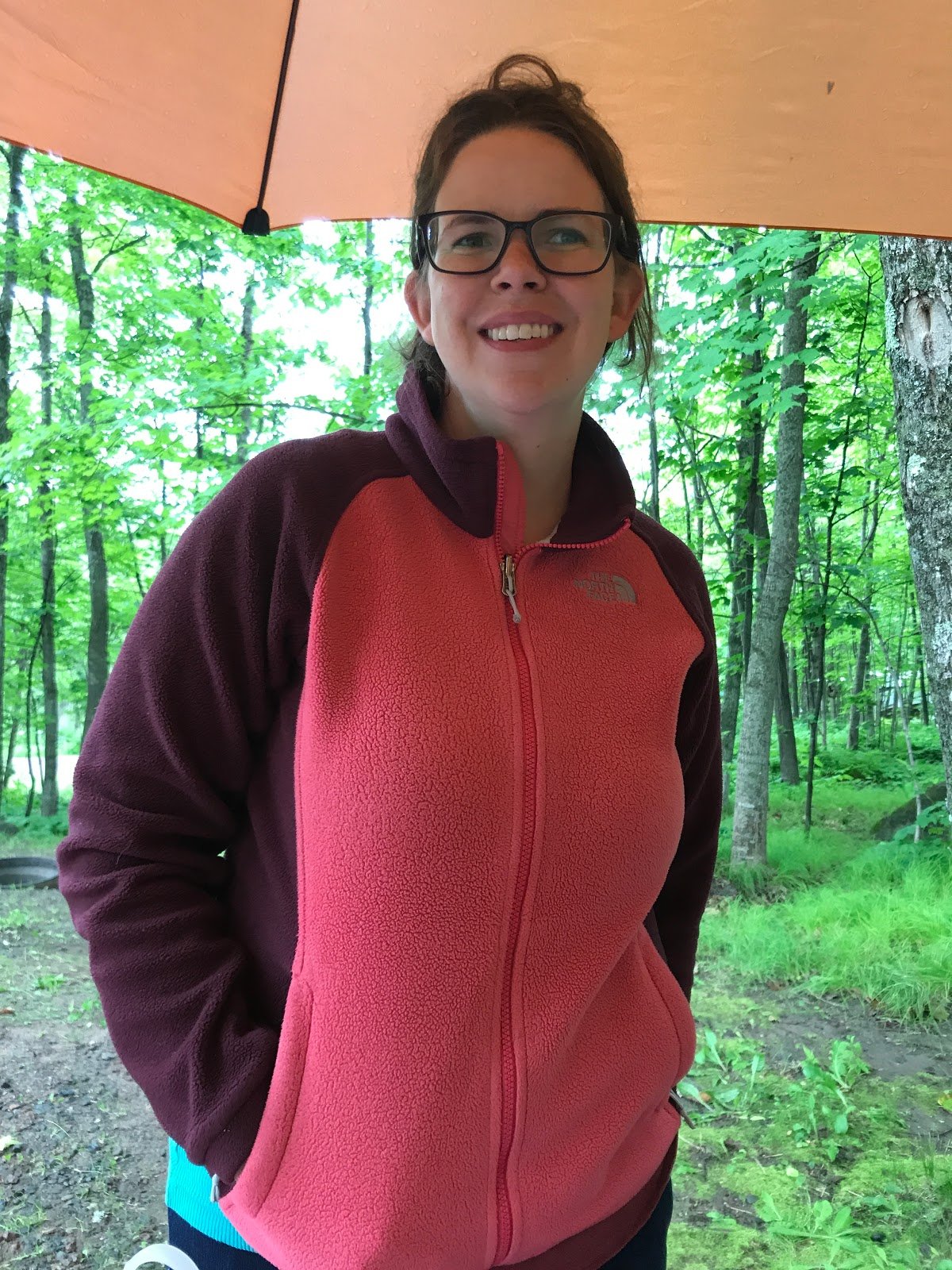
Rain in Redwing
It was like going from the frying pan into the fishbowl
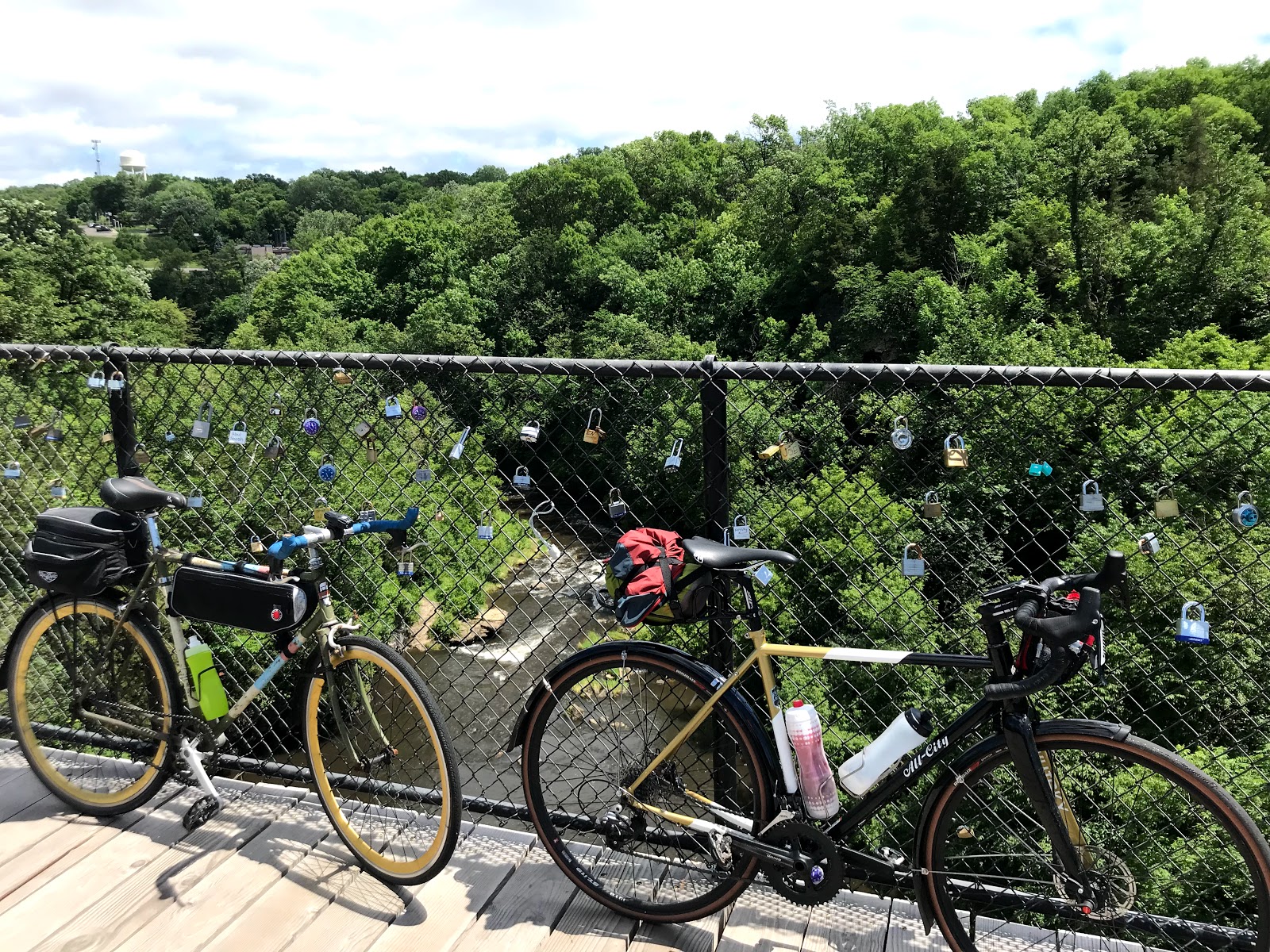
Here and there and in between!
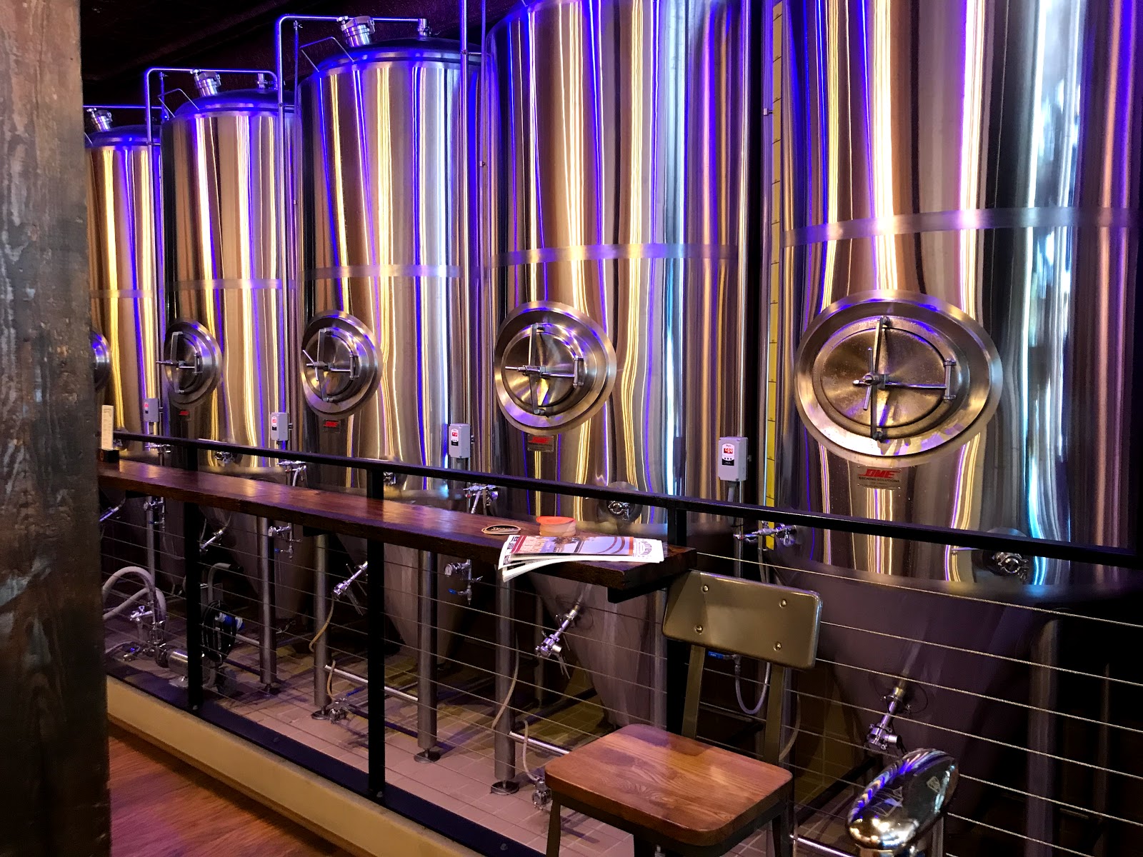
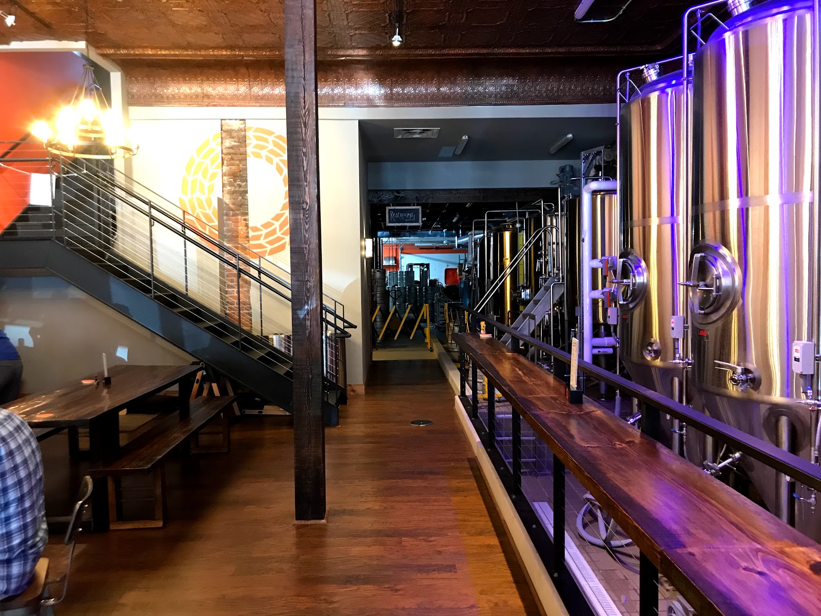
Here are more photos from Frontenac and finally in Hastings at the Spiral Brewery!
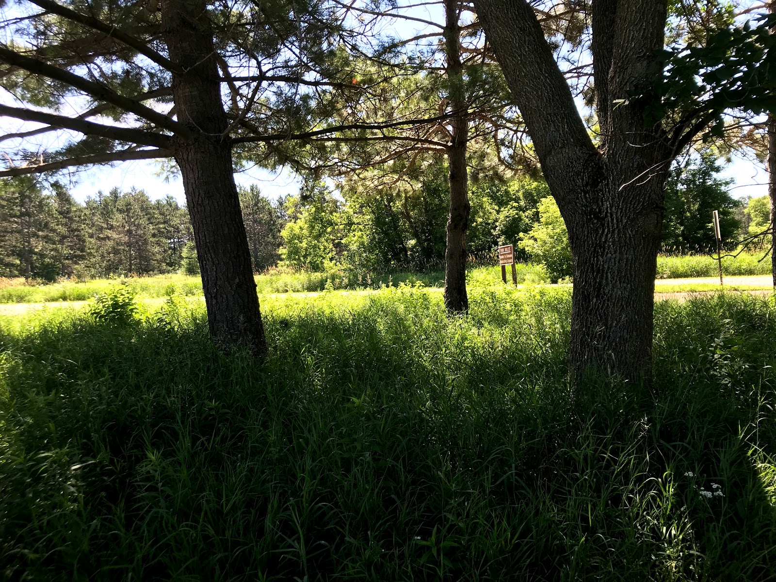
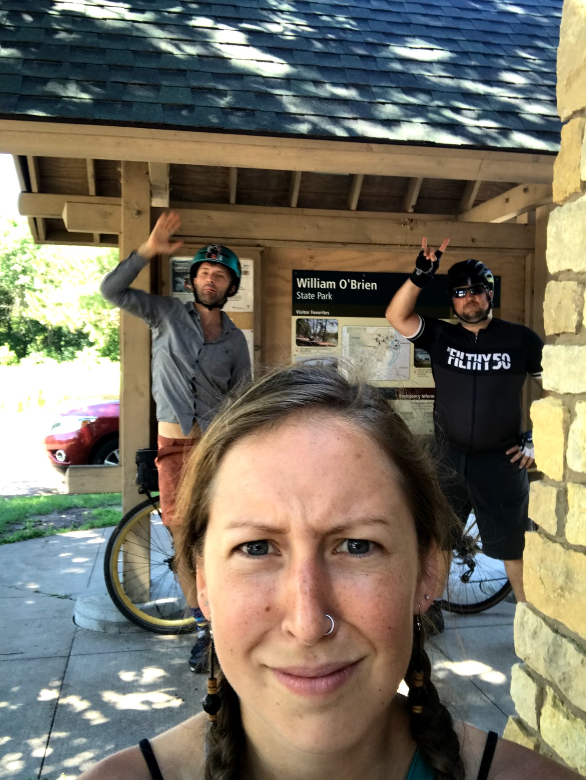
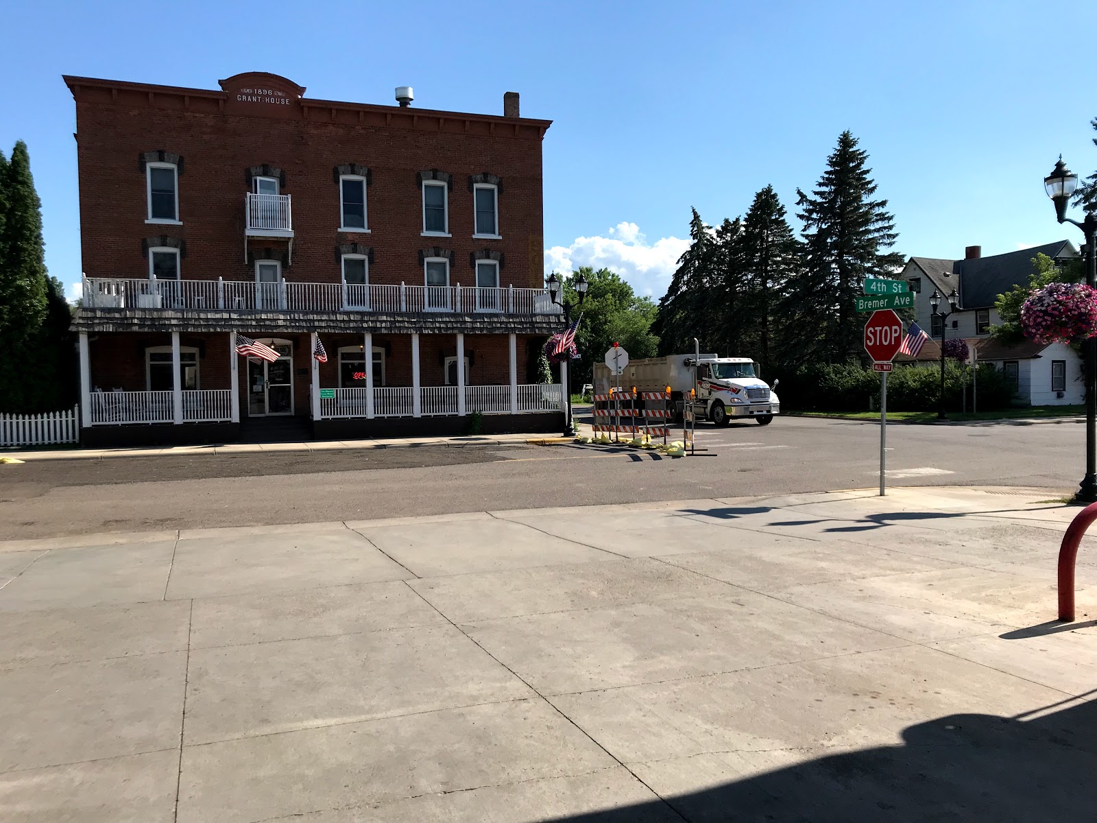
Day 3: Frontenac State Park to William O'Brian State Park
Maple Island Brewery in Hastings and into William O'Brian State Park
77 miles yesterday and through fierce rain, brutal wind, and finally an ice cold brew in Hastings by the river. My phone died when we were in Hastings but the downtown was vibrant and super fun. I would love to spend more time there.
Here are some random photos from yesterday and a few from this morning waking up and also when we were getting ready to leave William O'Brian.
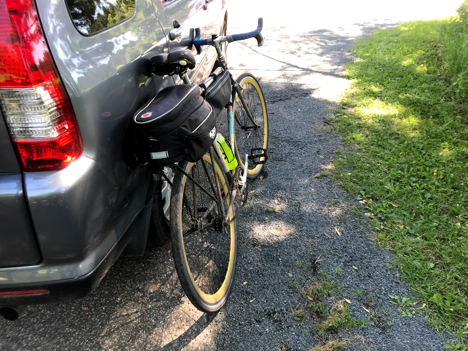
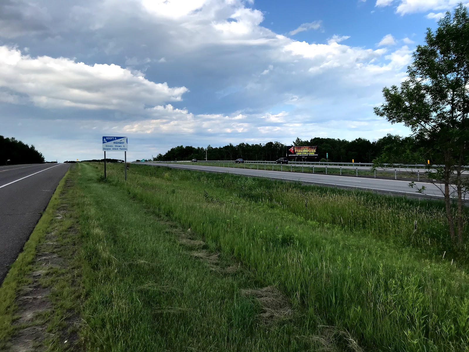
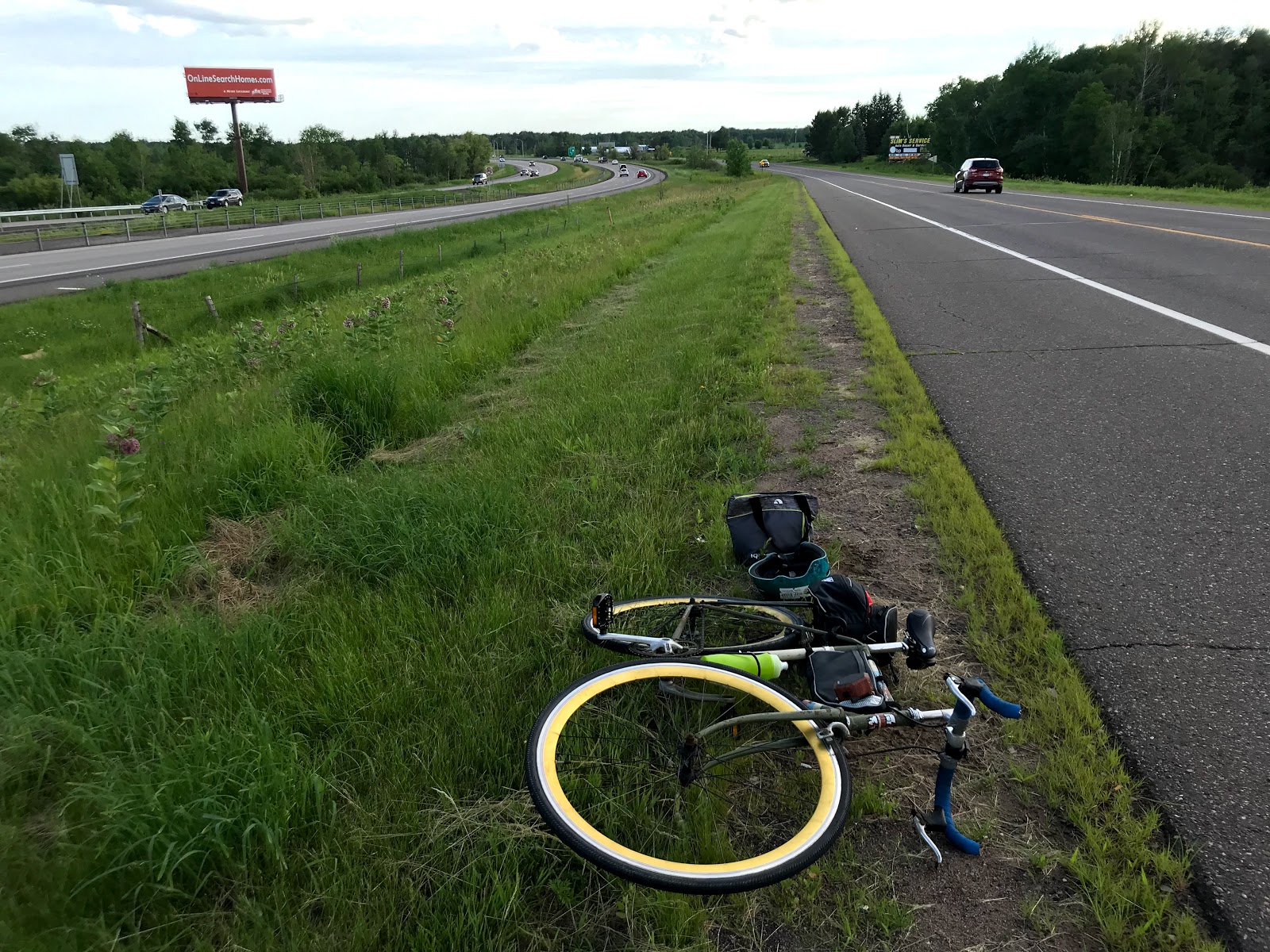
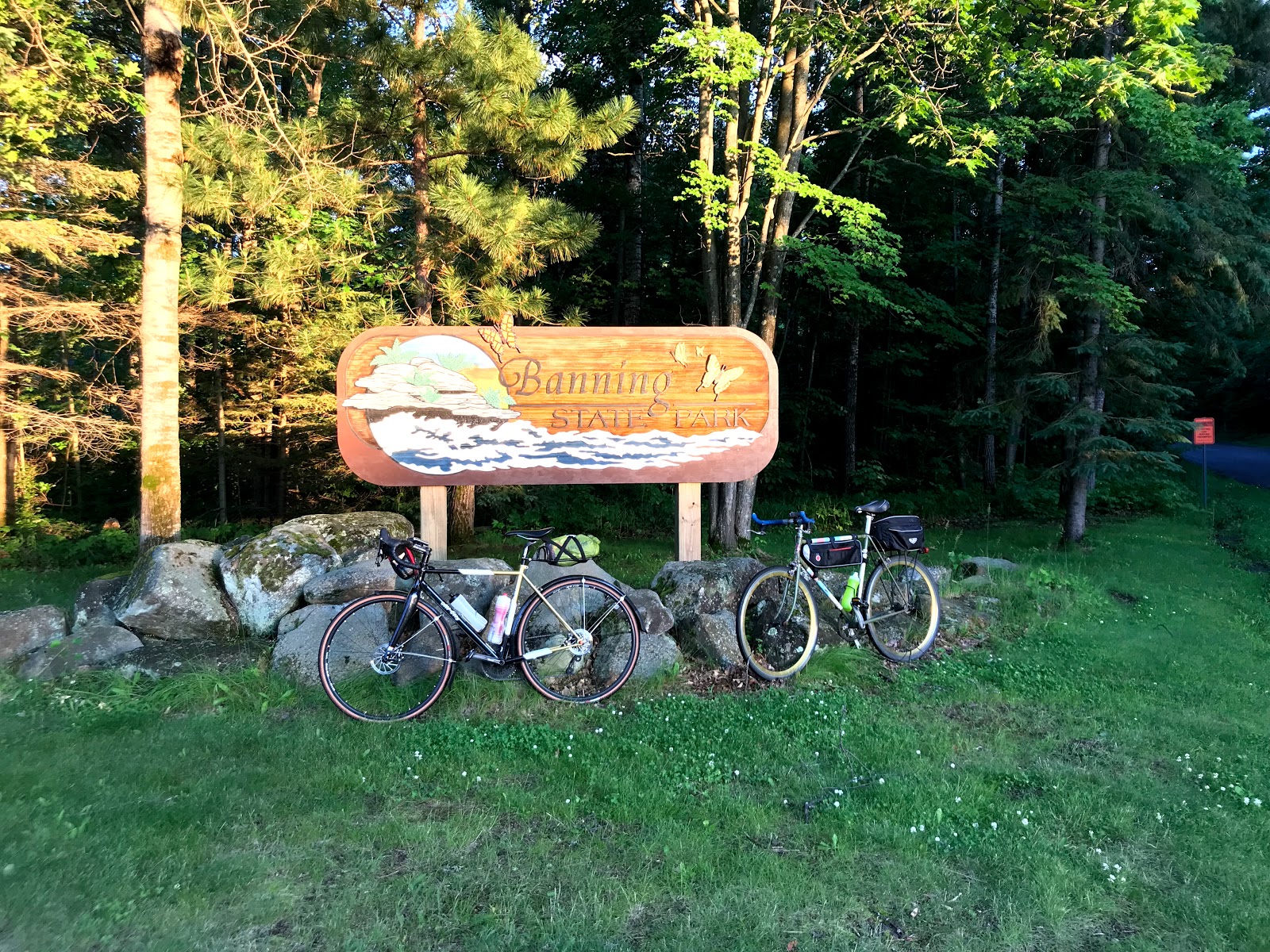
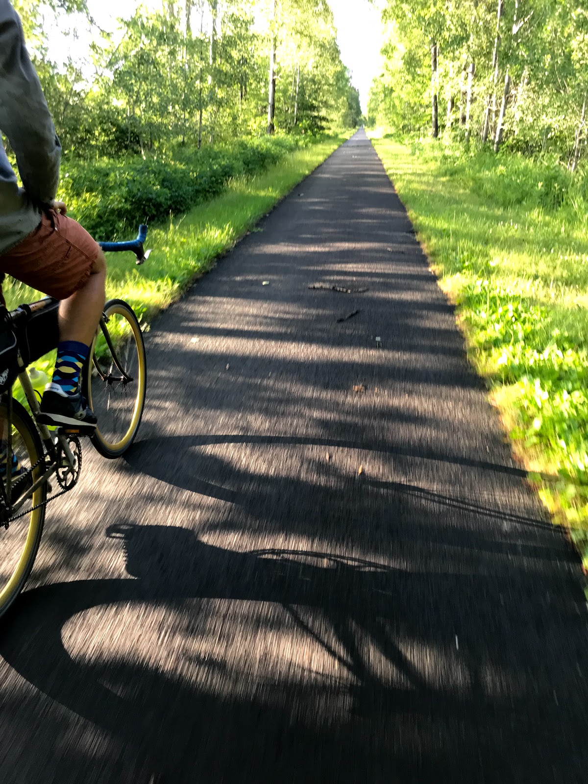
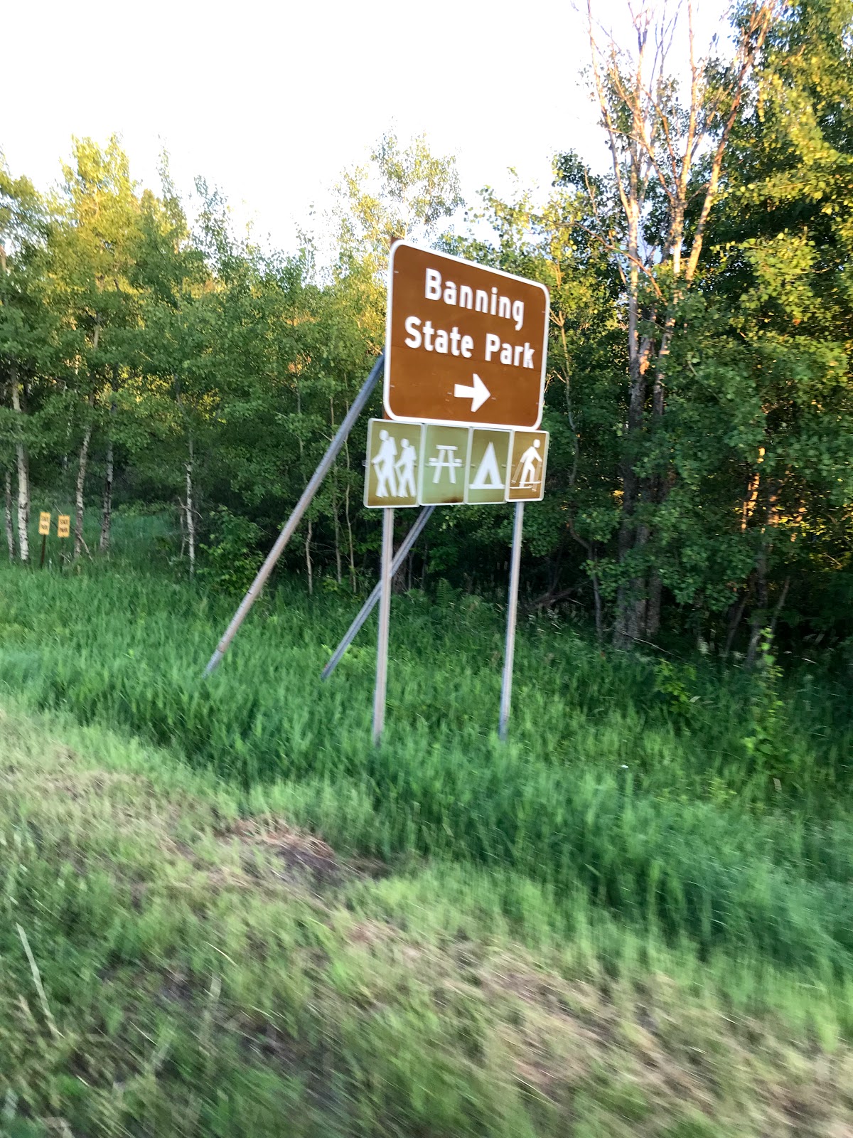
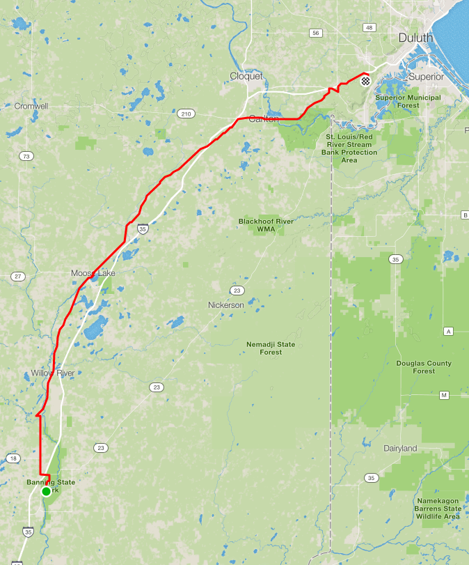
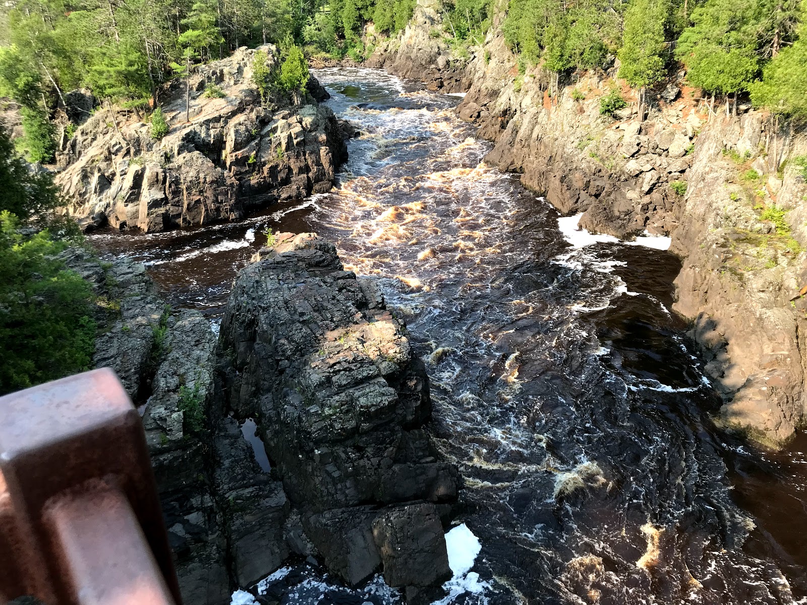
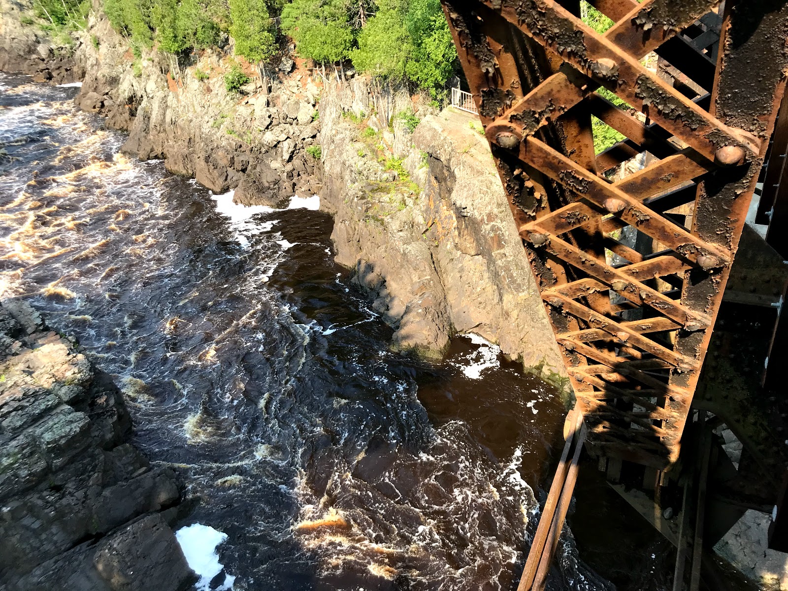
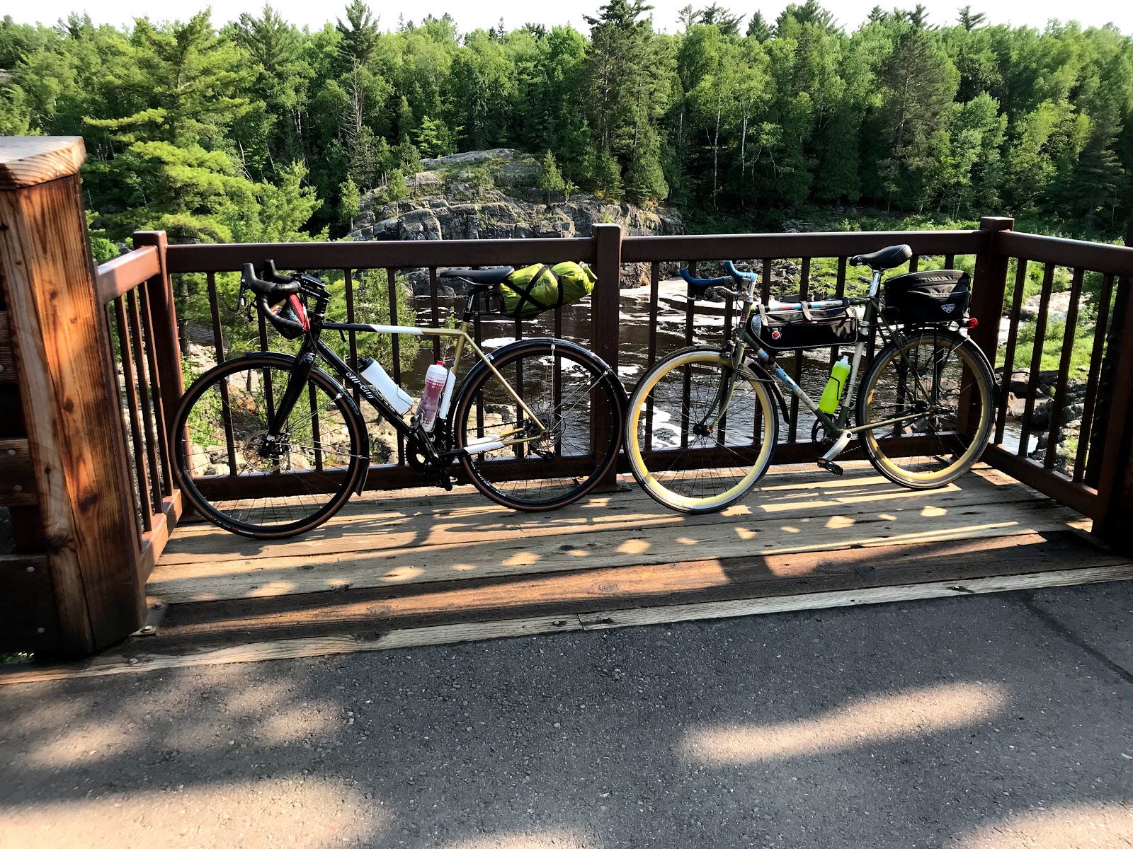
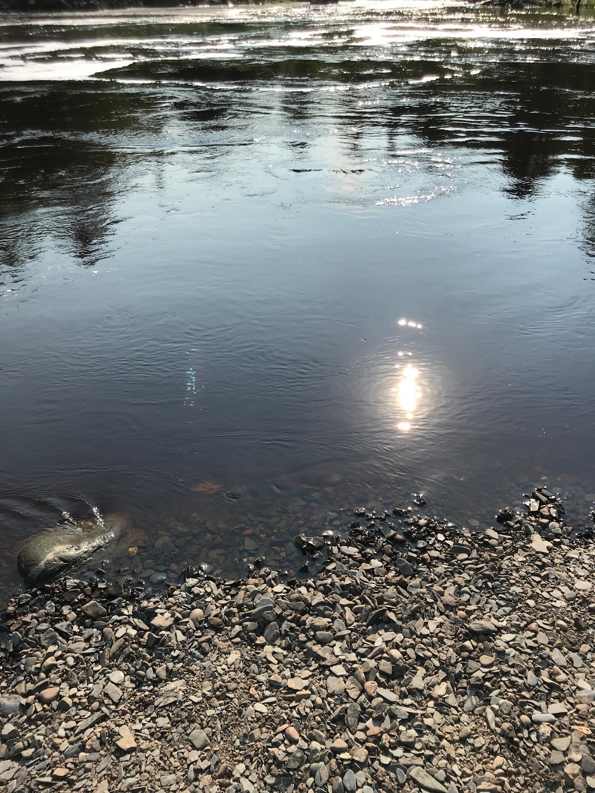
Day 4: William O'Brian State Park to Banning State Park
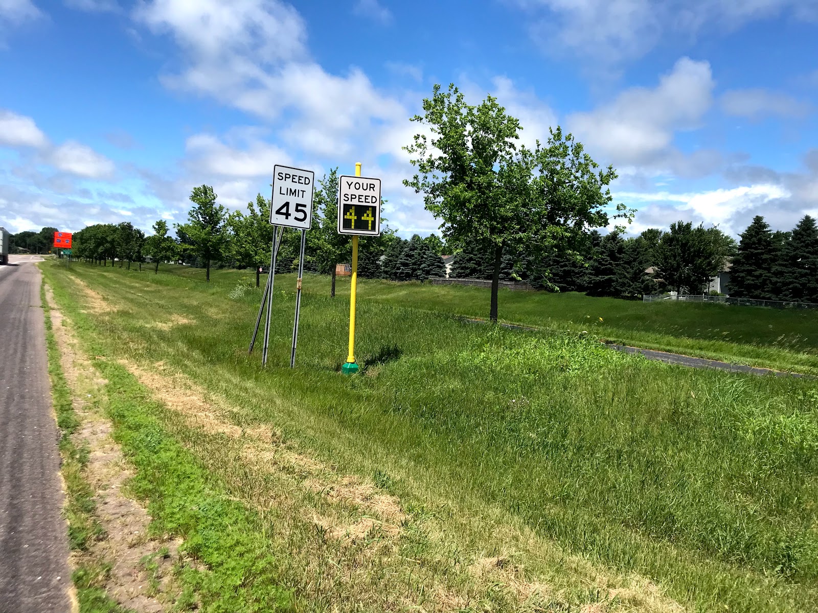
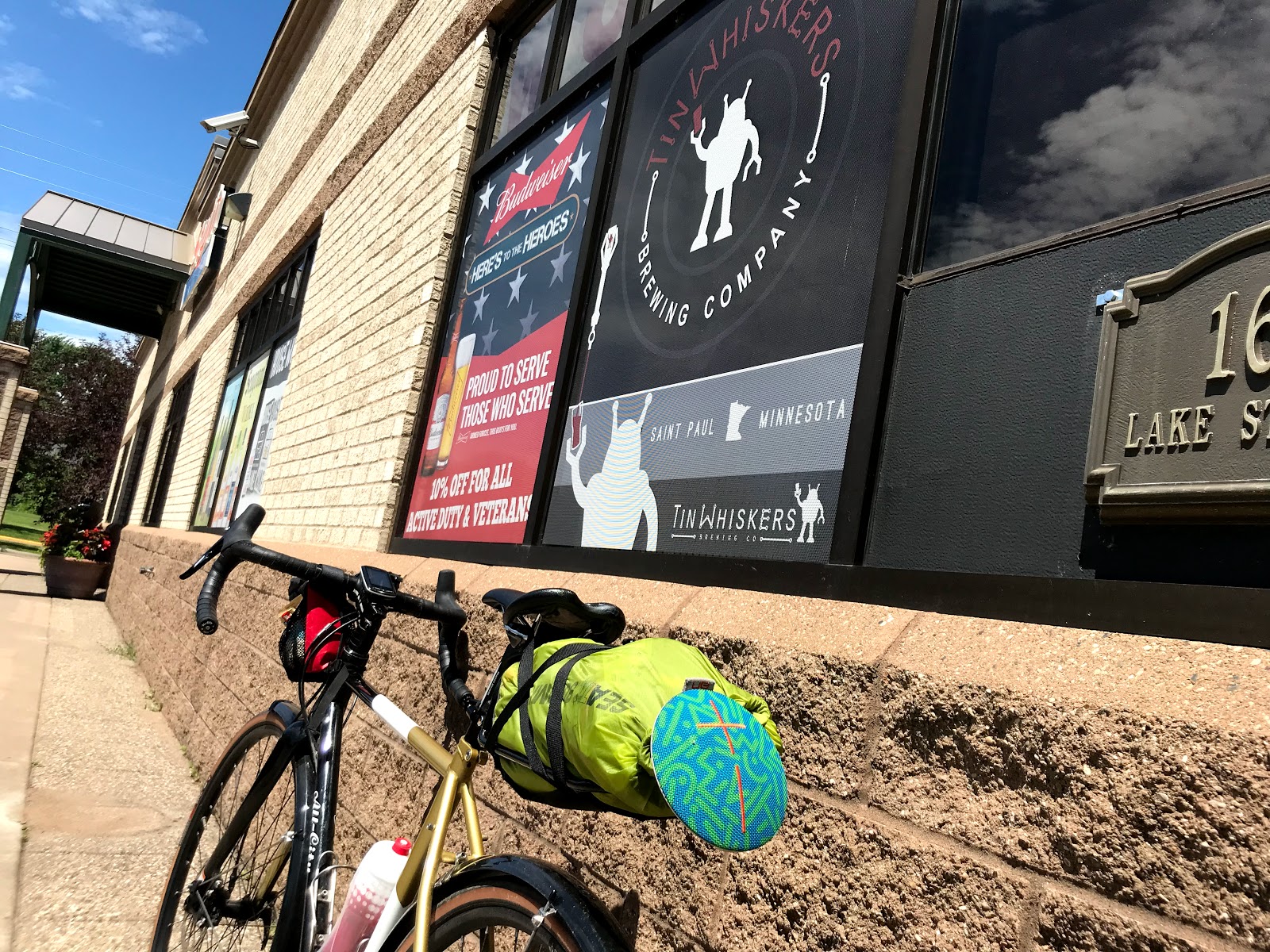
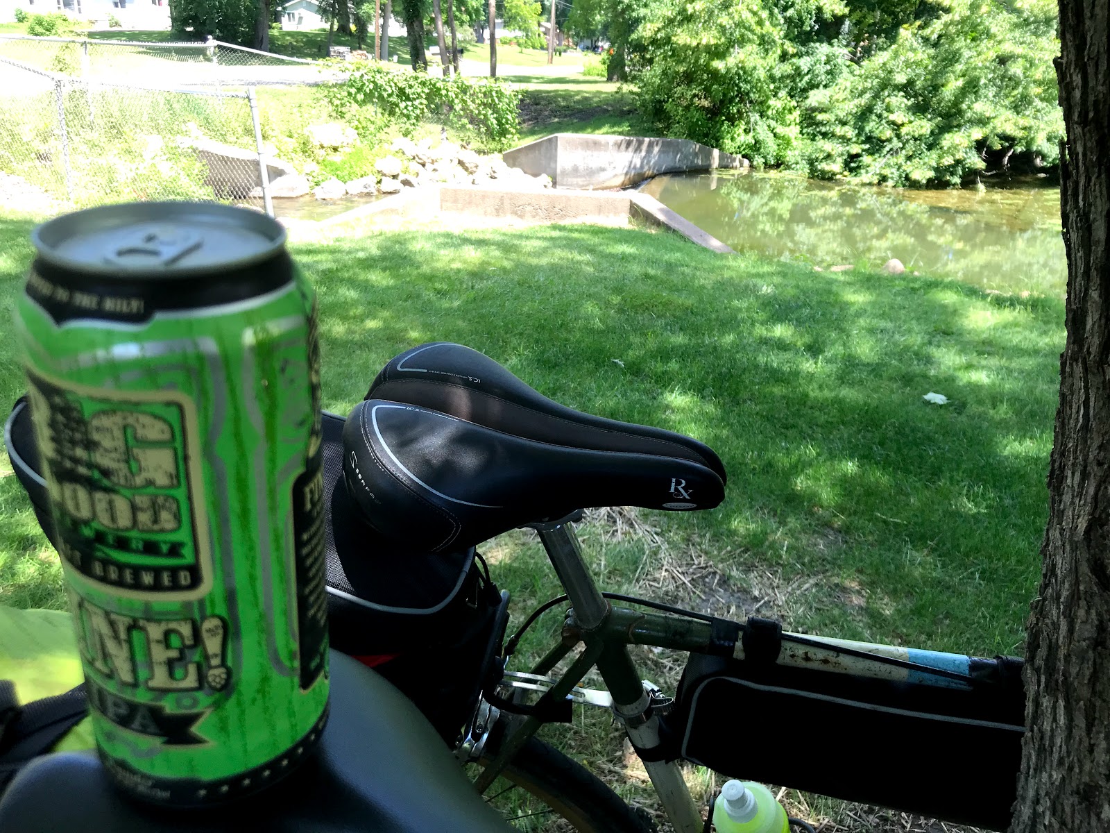
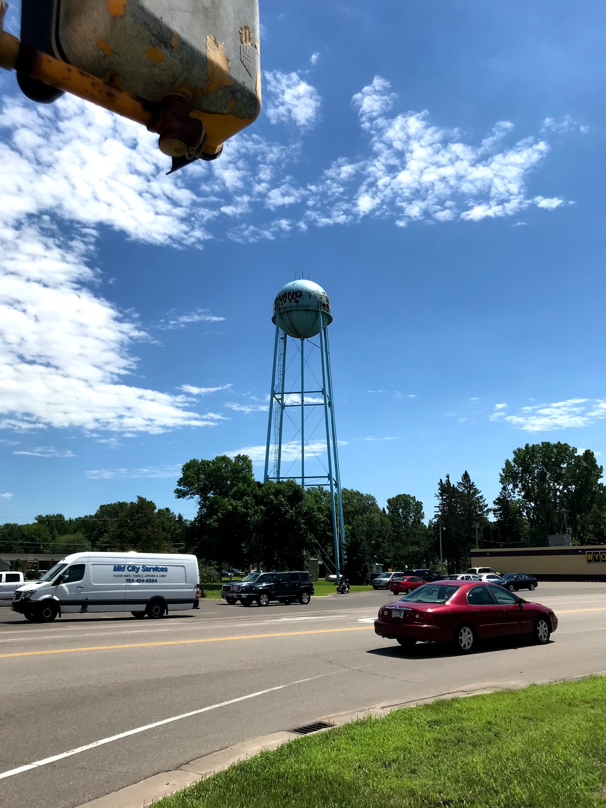
Wyoming, Northbranch and trails for days
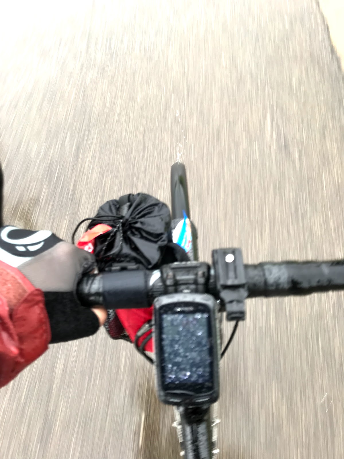
Updating here while I have a decent data signal!
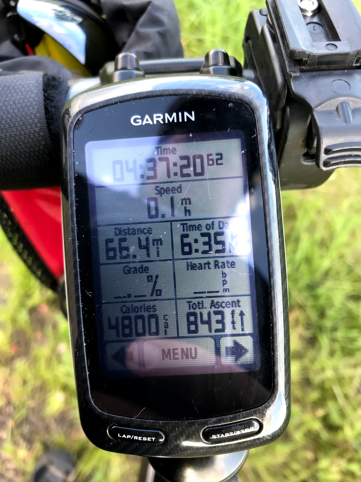
17 miles to Banning State Park
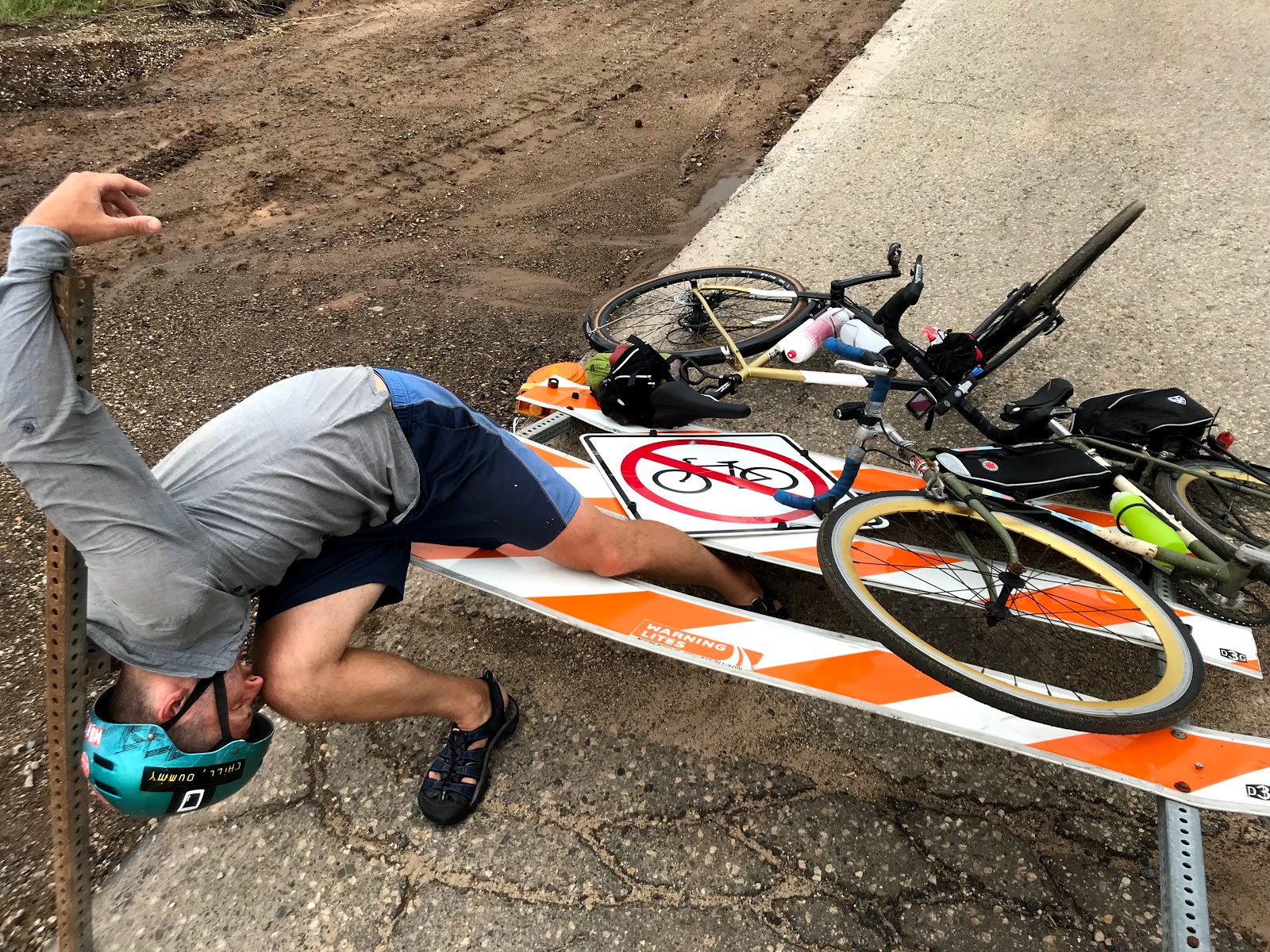
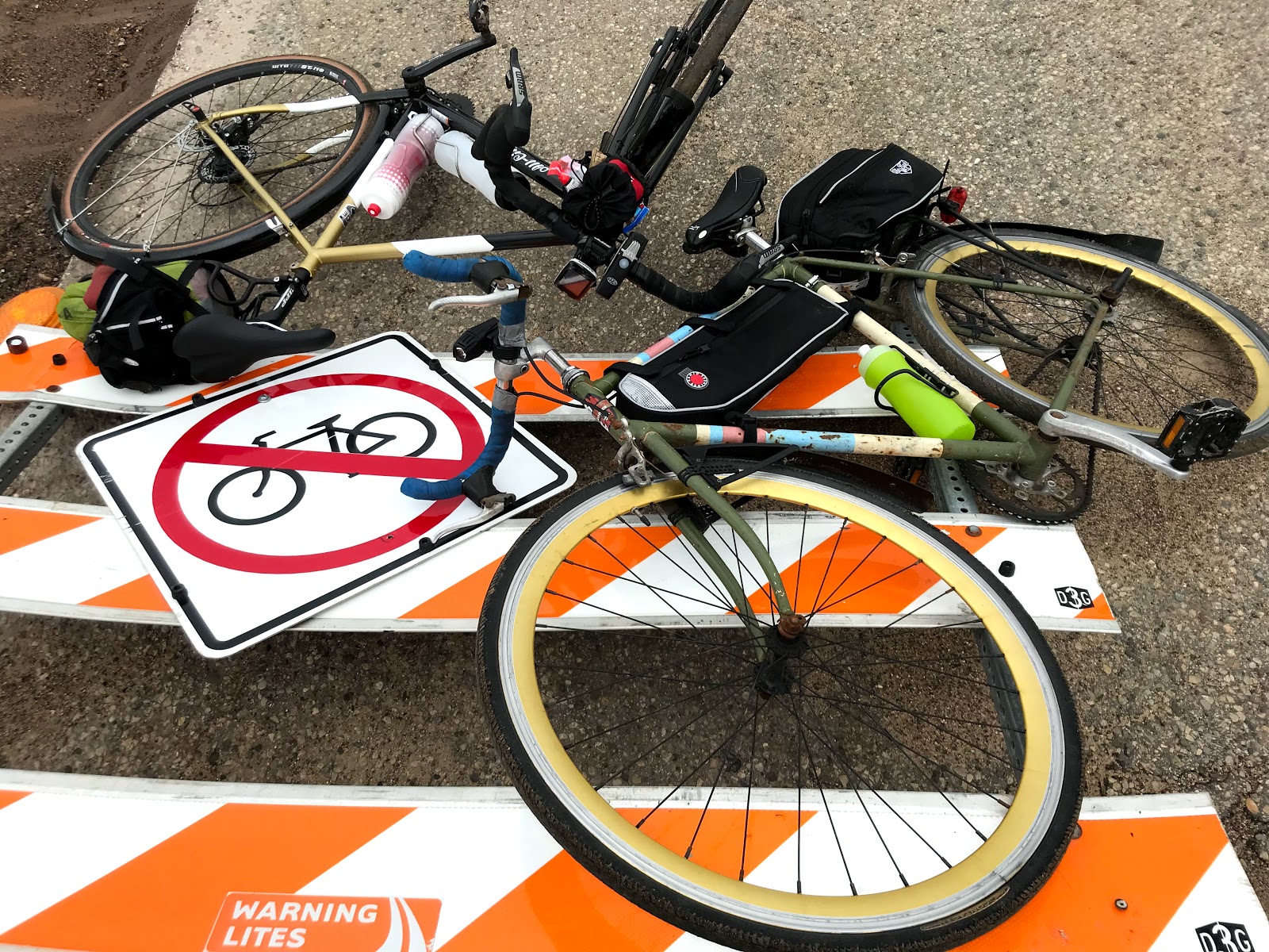
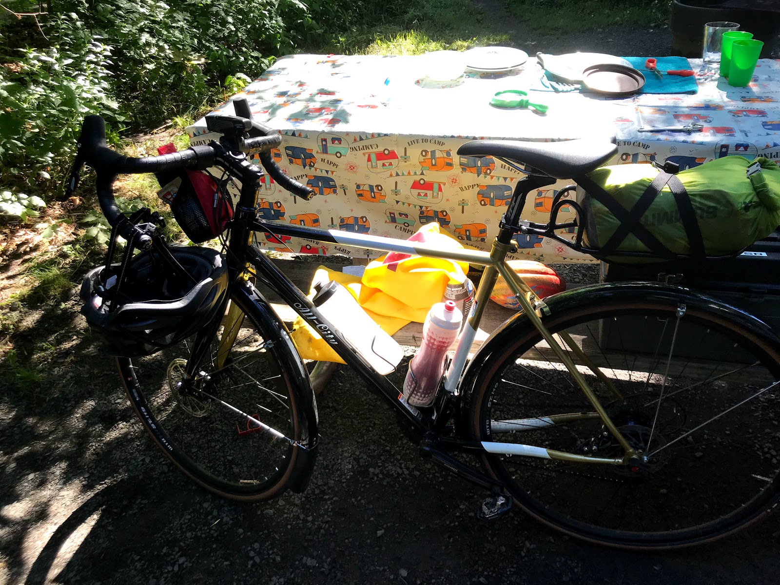
Dustin is doing some quick repairs due to a lost screw on his back rack. So far we've been lucky (knock on wood):
Flats: 0
Re-wrap handle bars: 1
Back rack repair: 2
Dead soldiers: many
We made it to Banning last night
The bugs nearly carried us away, though. 😂 Here are some of the final approach photos we took near Hinckley, MN and onto Banning.
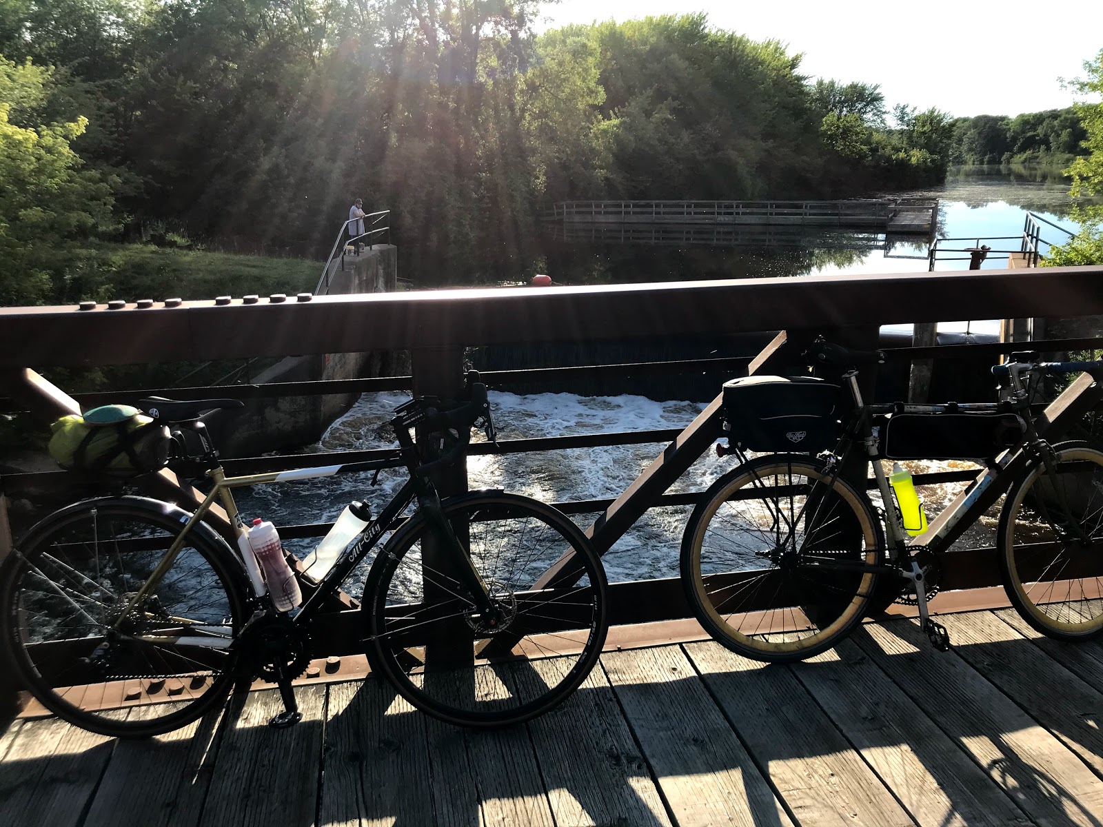
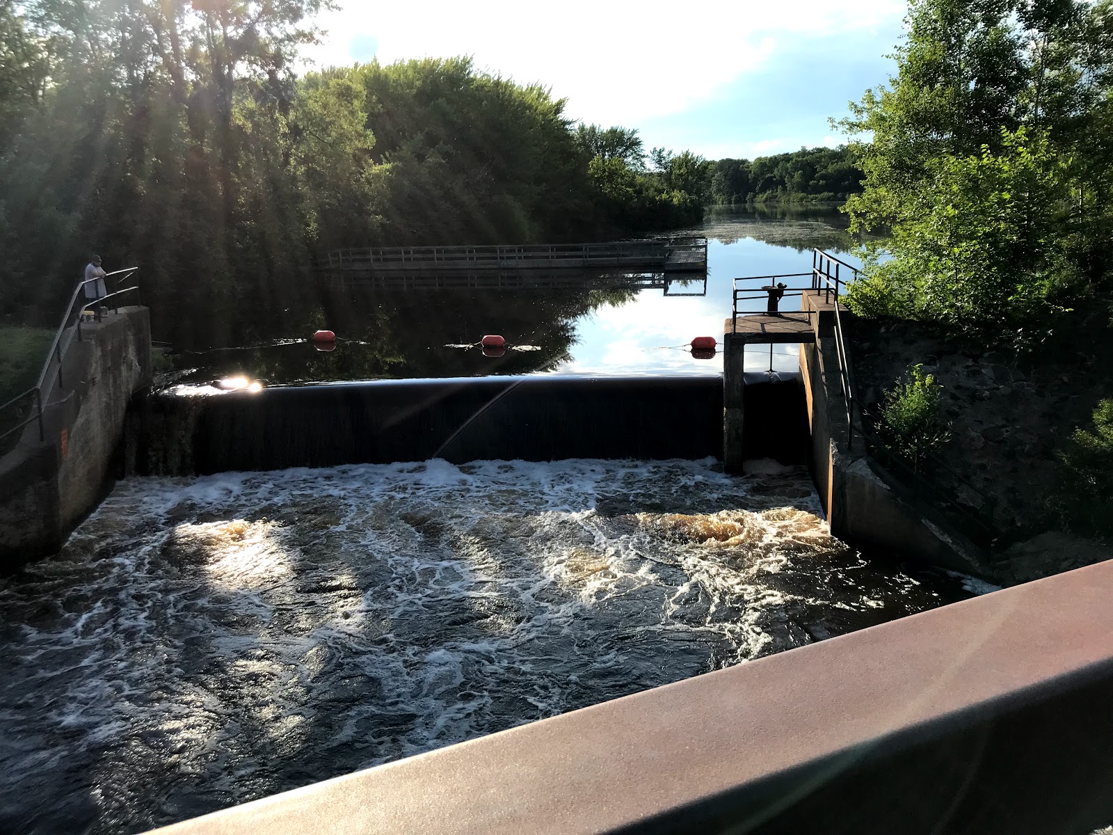
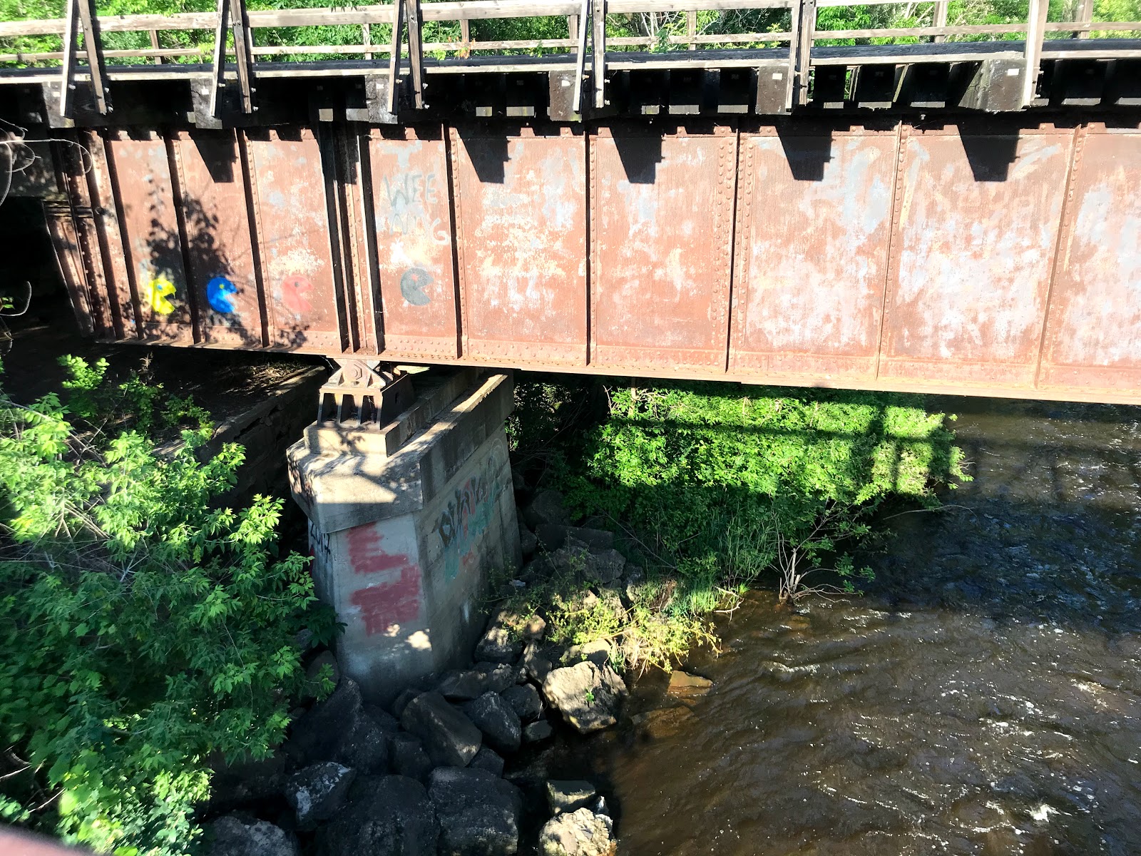
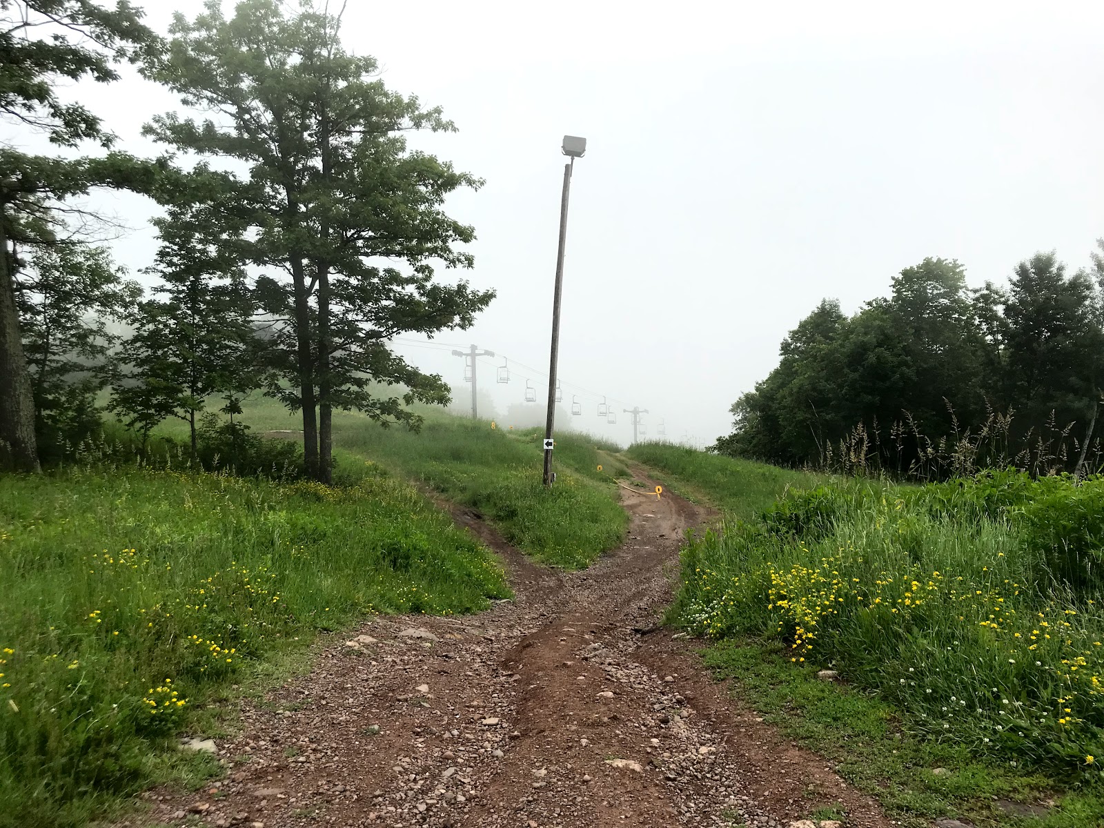
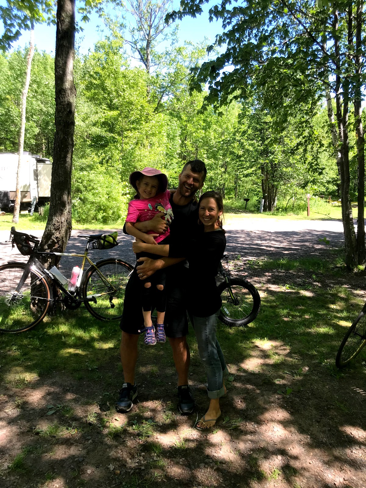
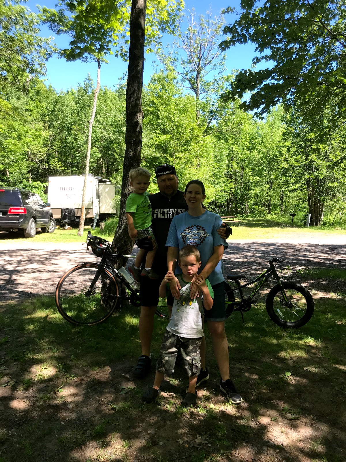
Day 5: Banning State Park to Spirit Mountain Campgrounds in Duluth
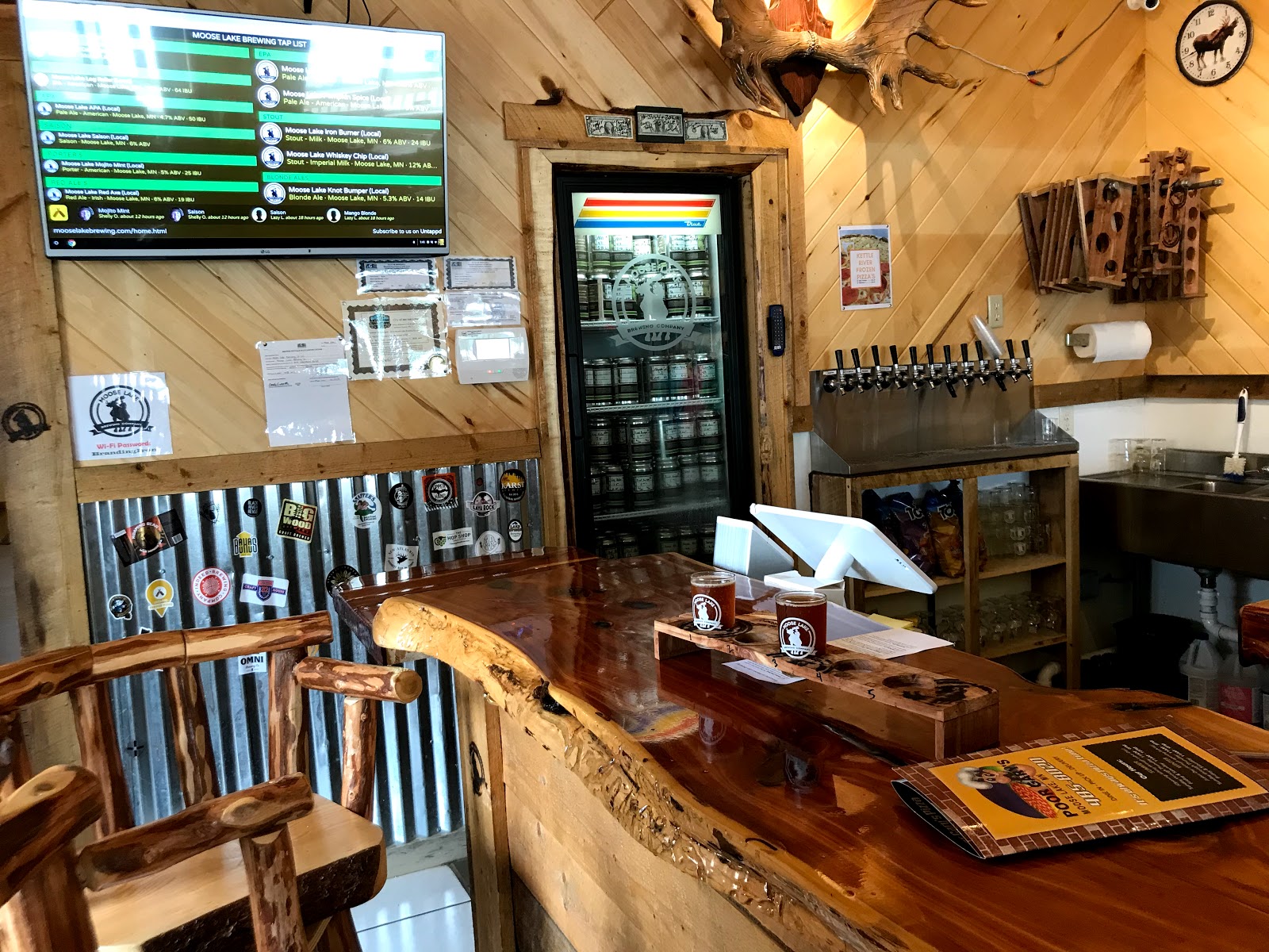
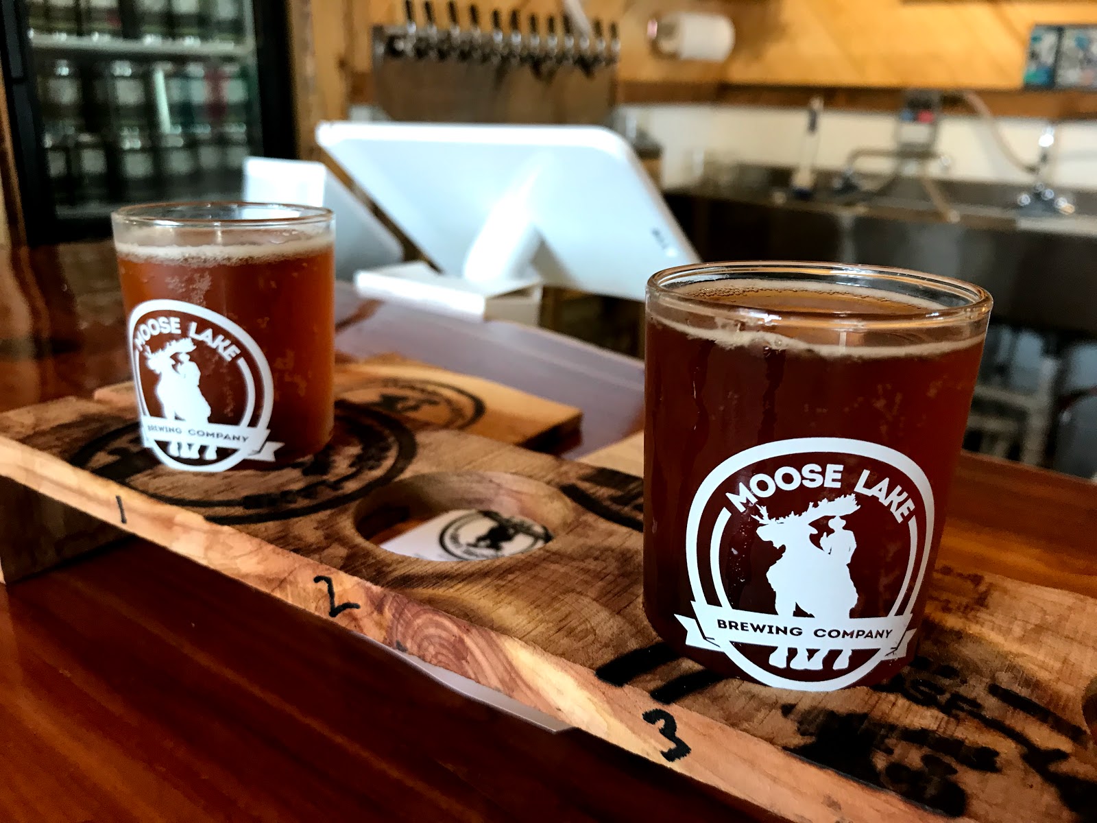
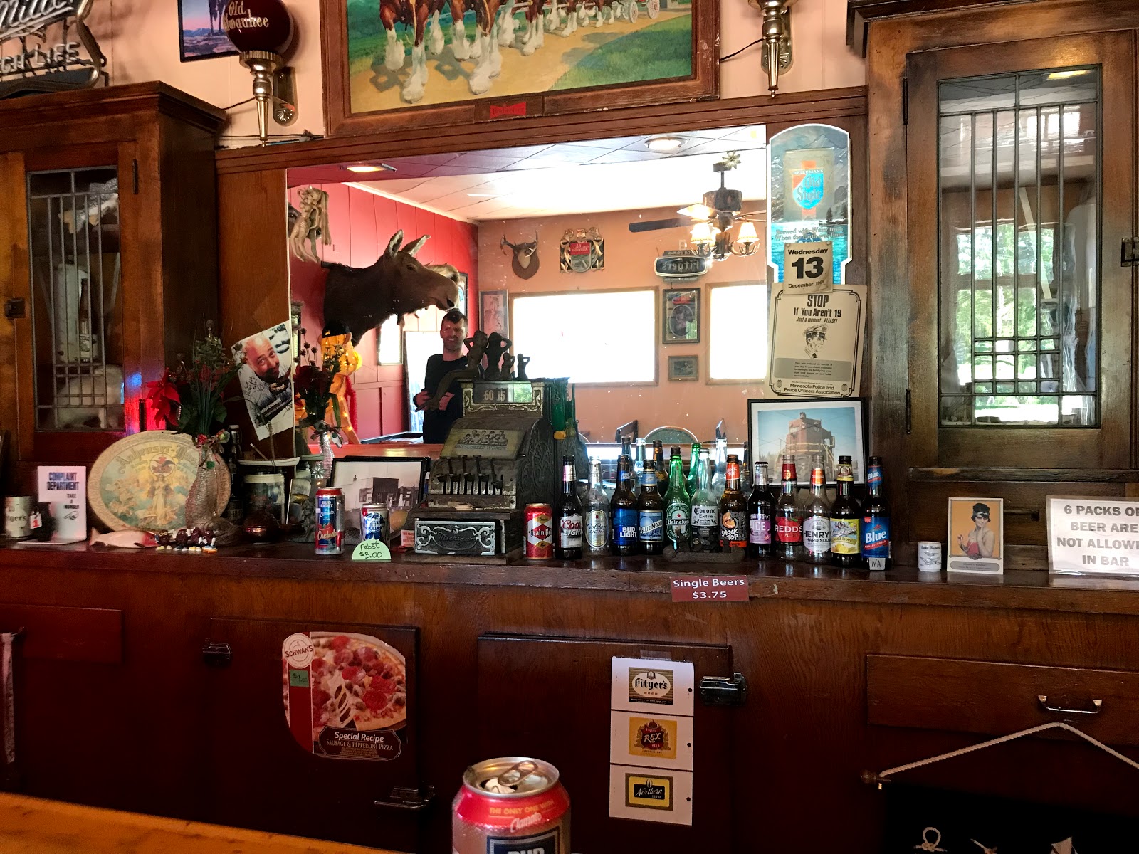
Current position: Moose Lake Brewery
This place is a great stop if you are ever in the area.
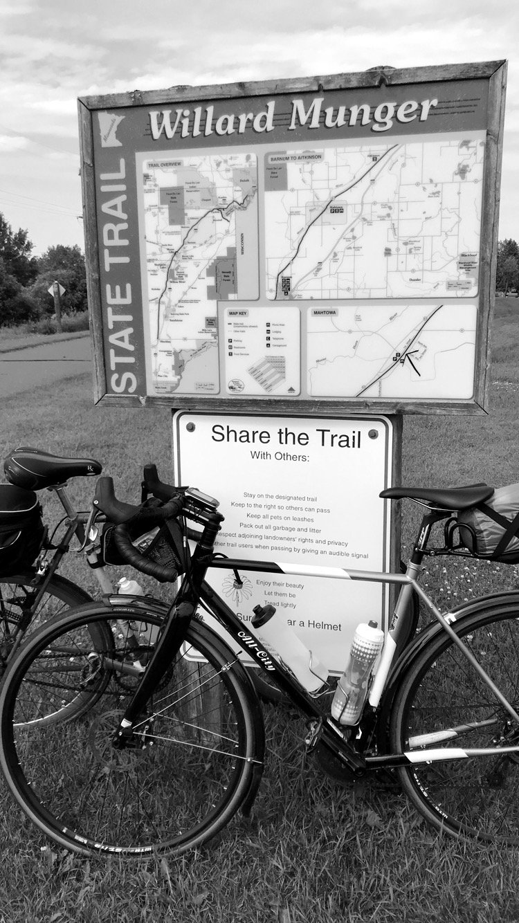
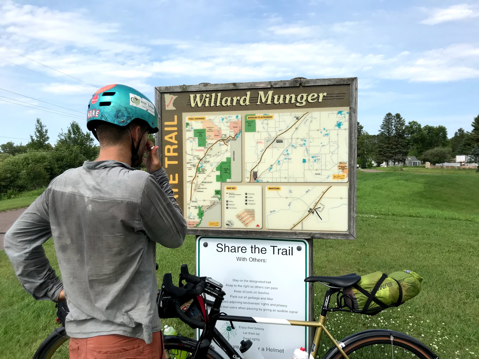
The remainder of day 5 and finally in Duluth!
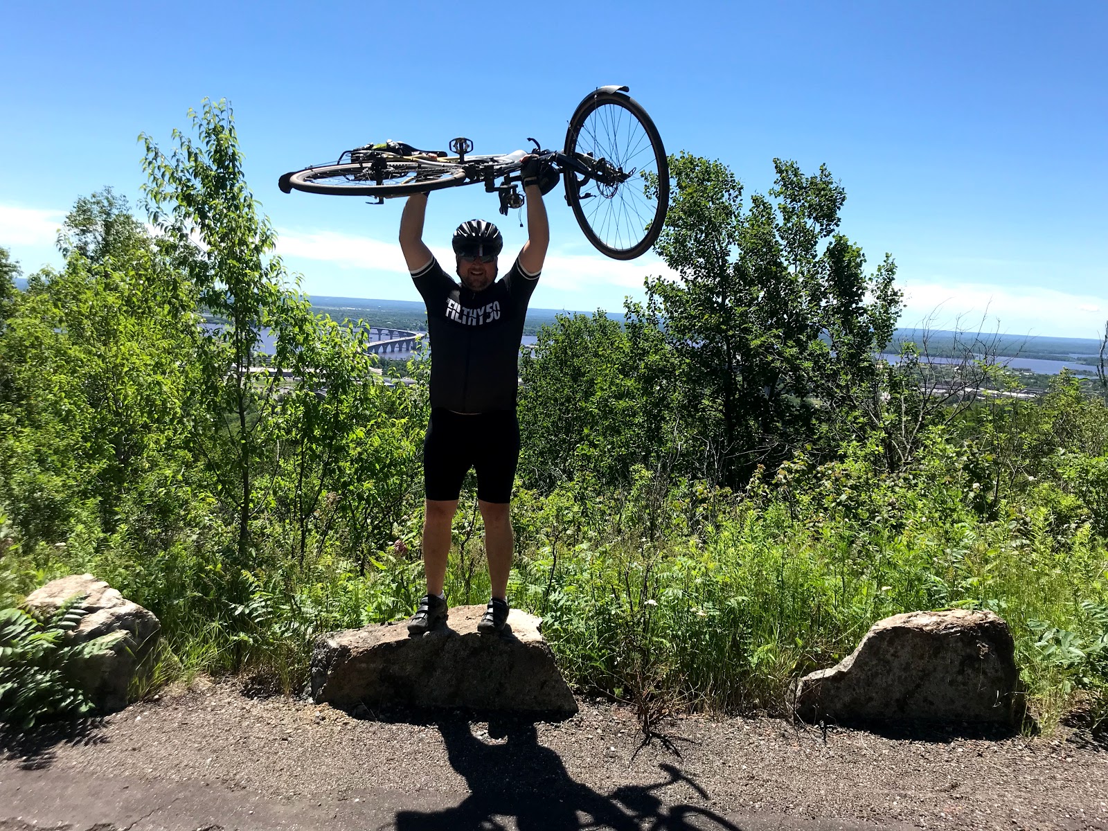
I think we had 400' of climbing in the first 50 miles today and when we got into Duluth it was another 500' of climbing in the last 10 miles. Go figure. We took the Willard Munger state trail from Banning state park to Duluth. It was a spectacular ride. We got forced off twice for a bridge repair but quickly got back on down the road.
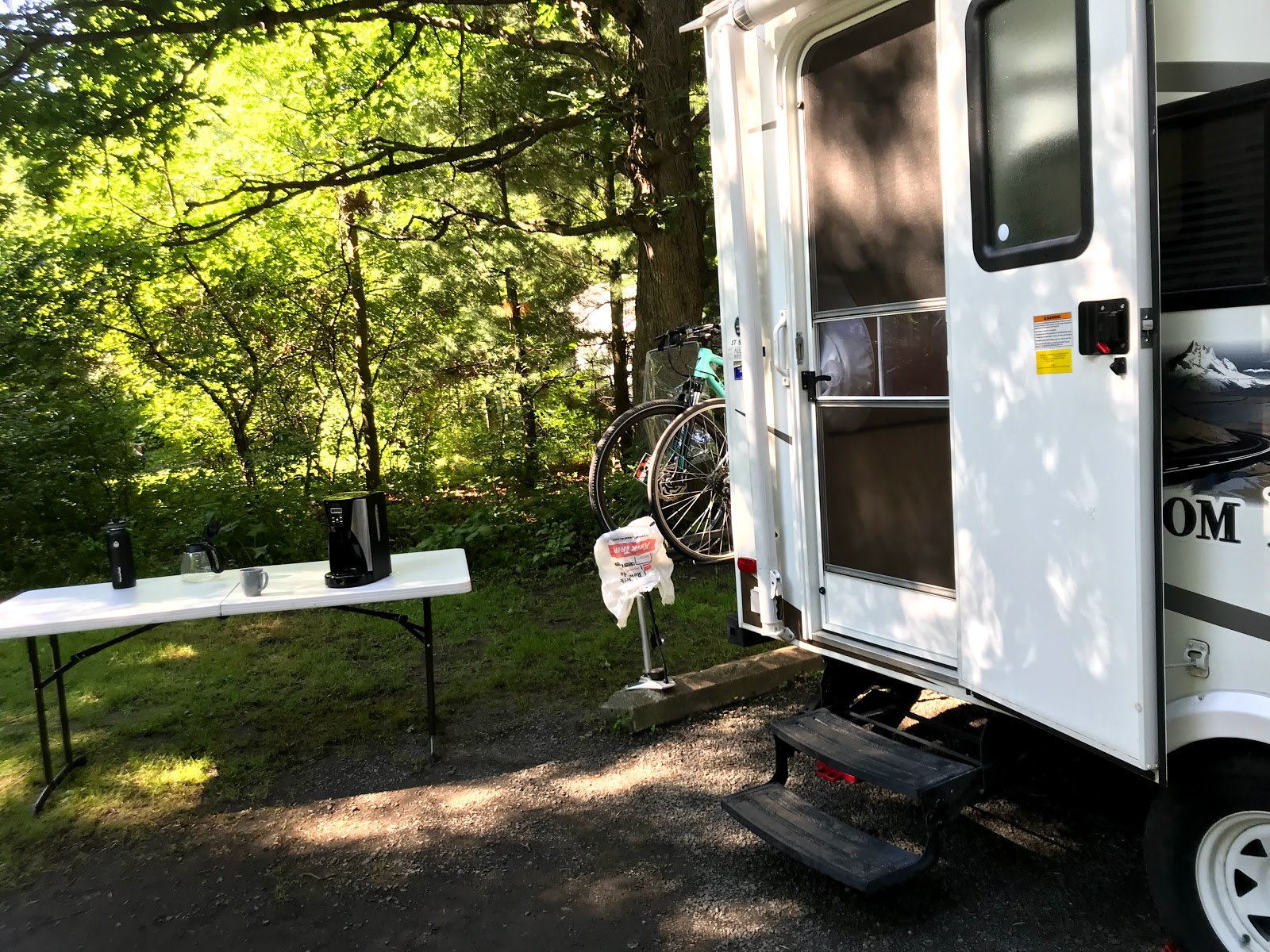
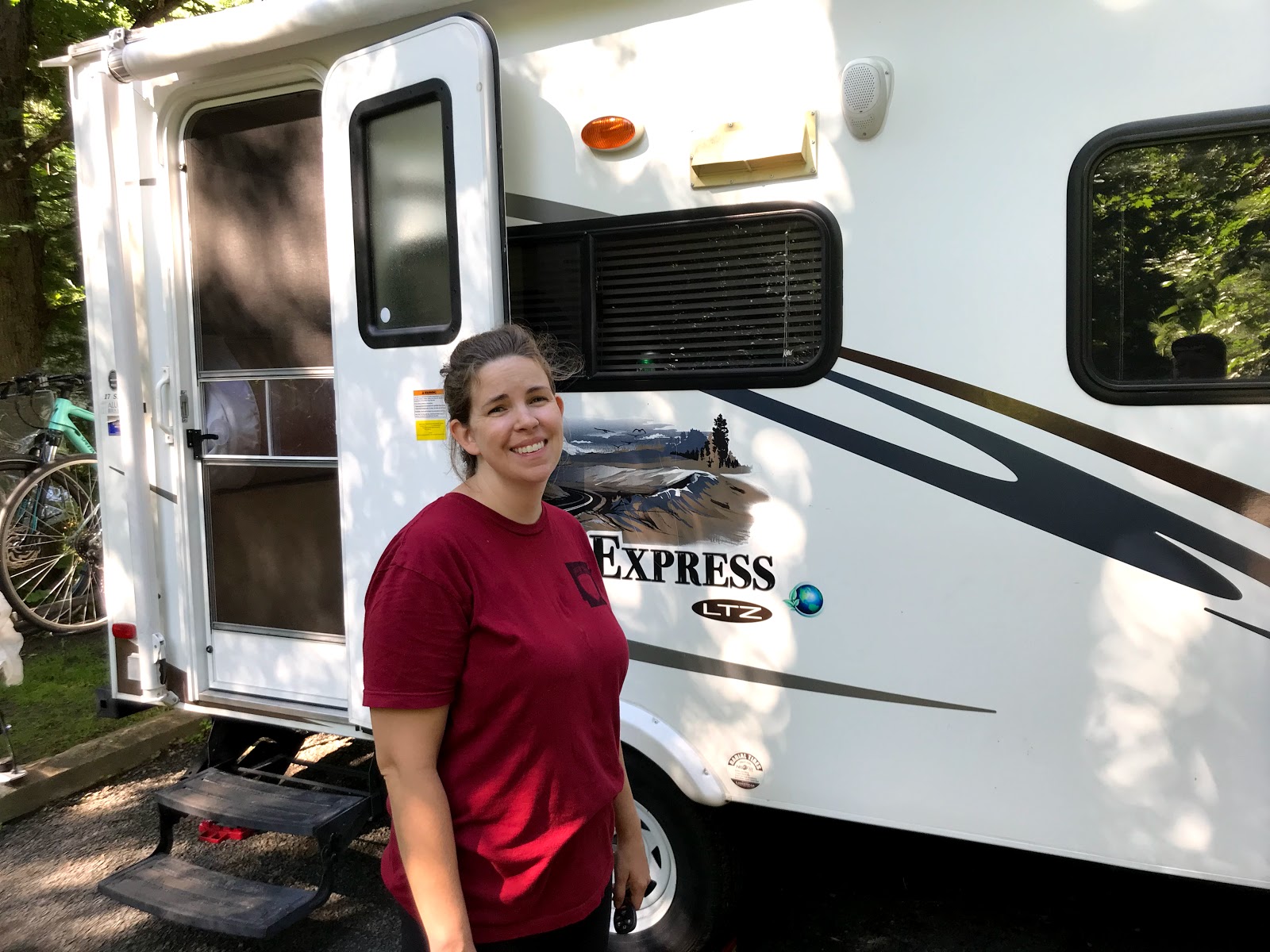
Day 6: Rest Day in Duluth
Waking up in Duluth
"It's a bit colder down by the lake!" Today is a day of rest while we tour breweries and celebrate the holiday. More updates to come.
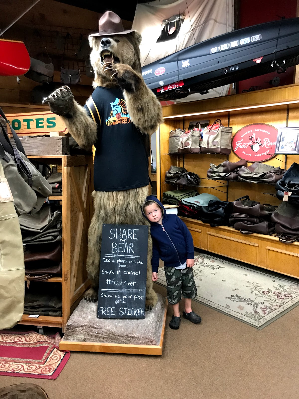
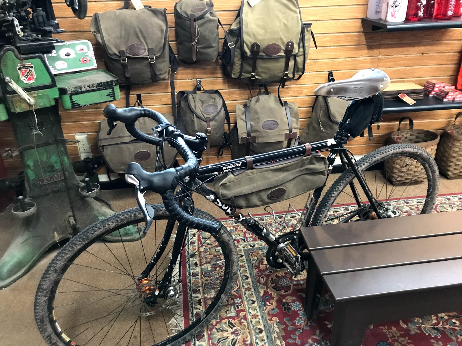
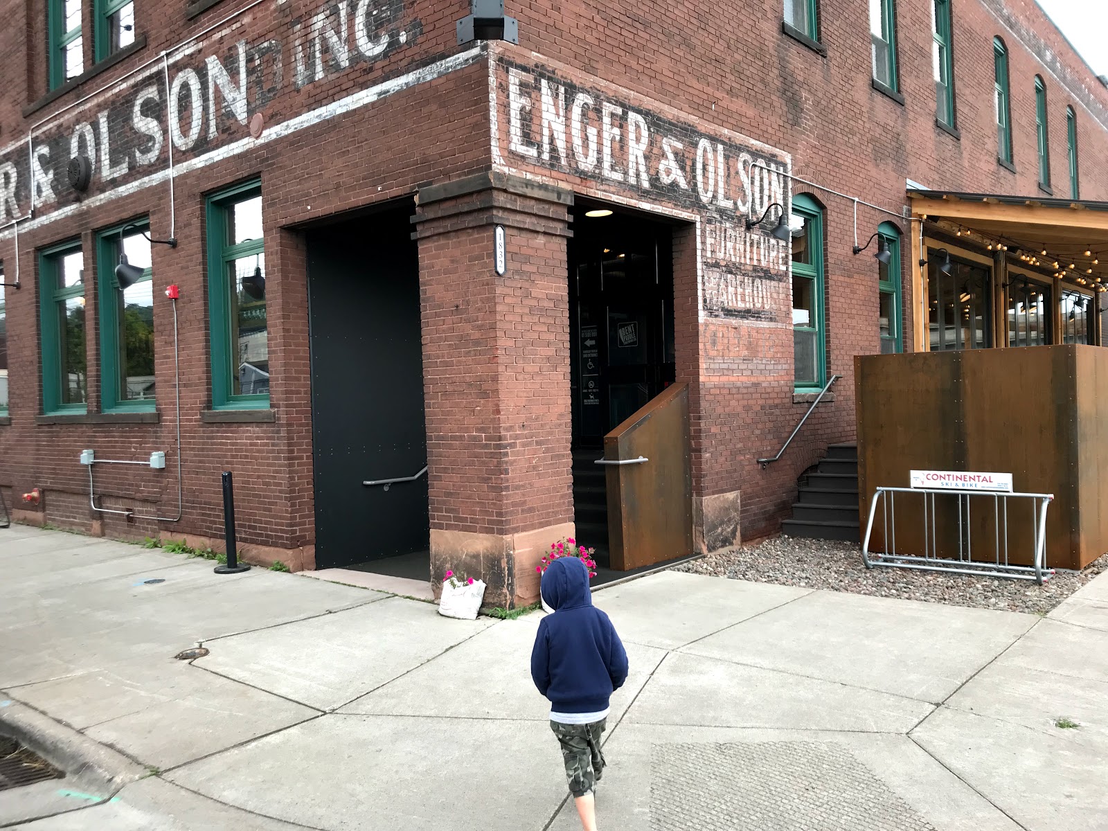
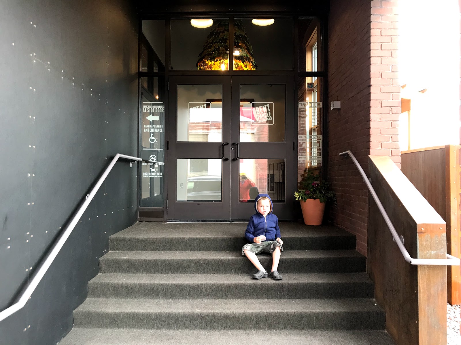
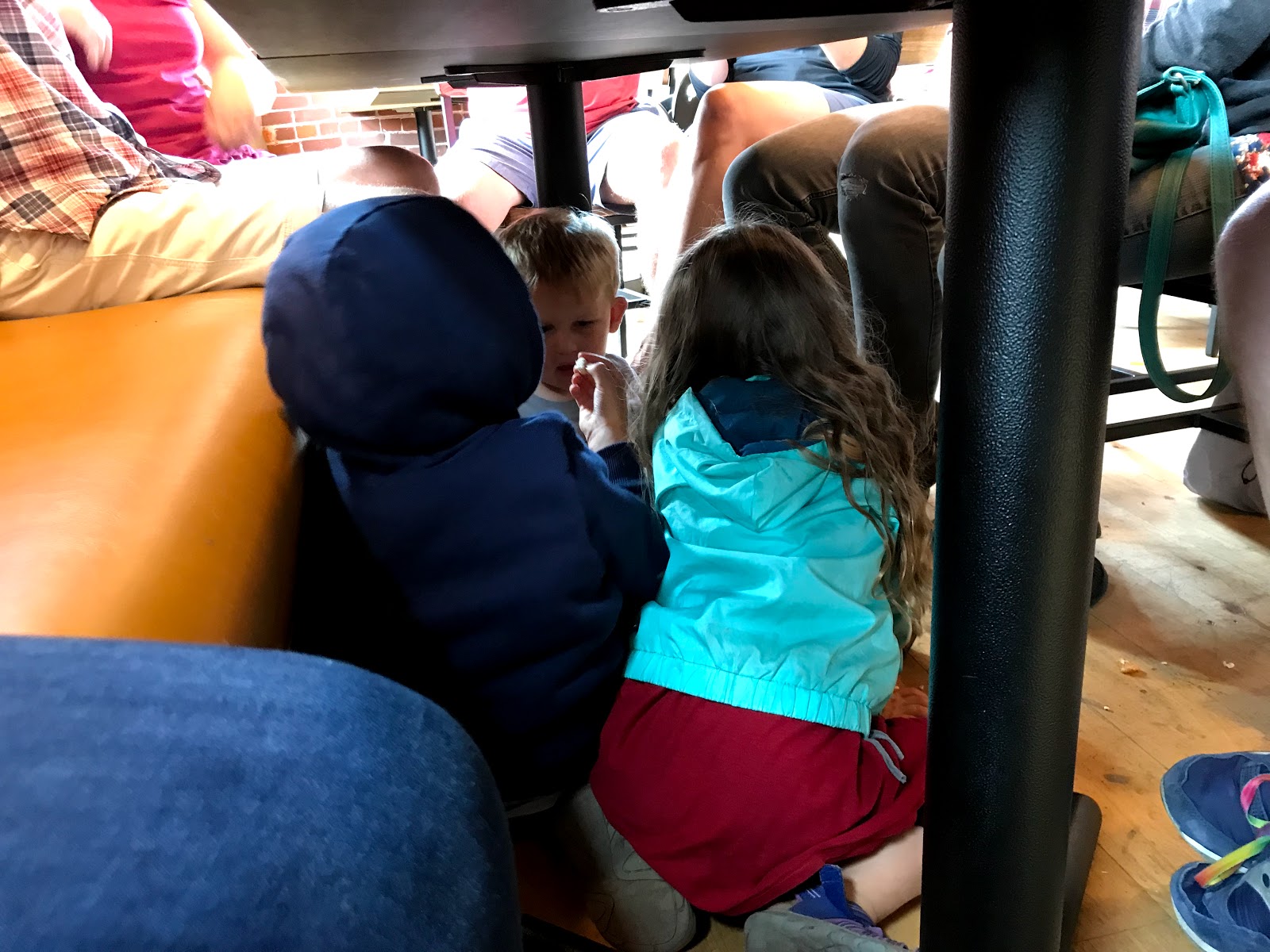
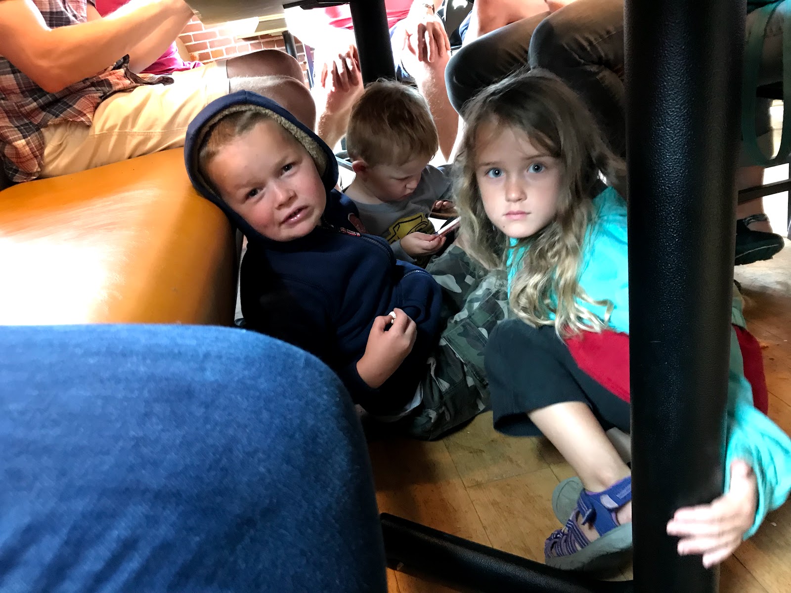
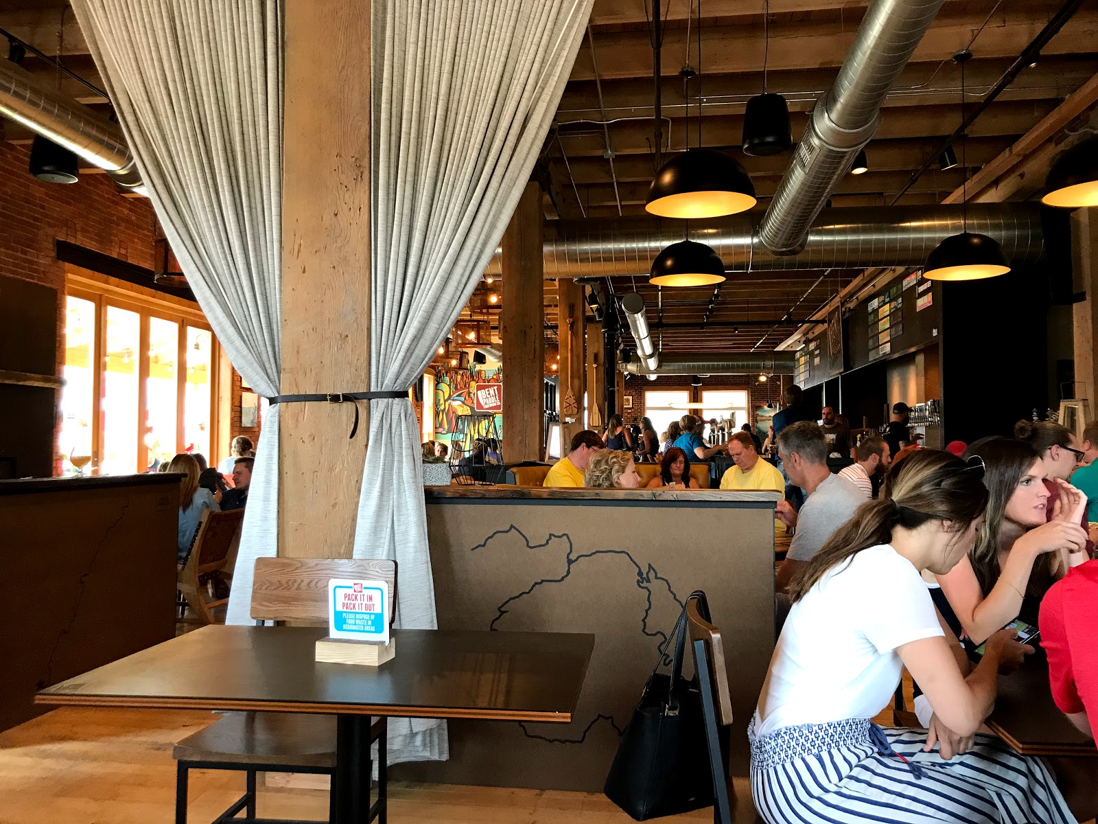
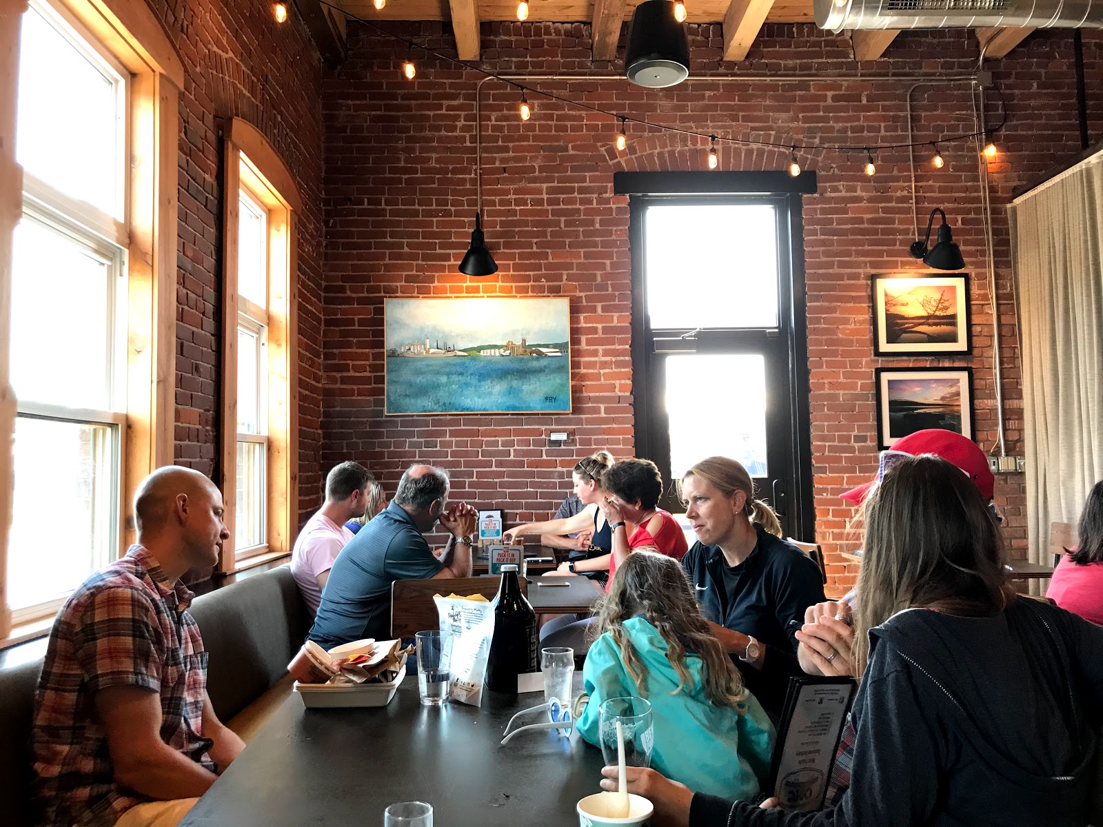
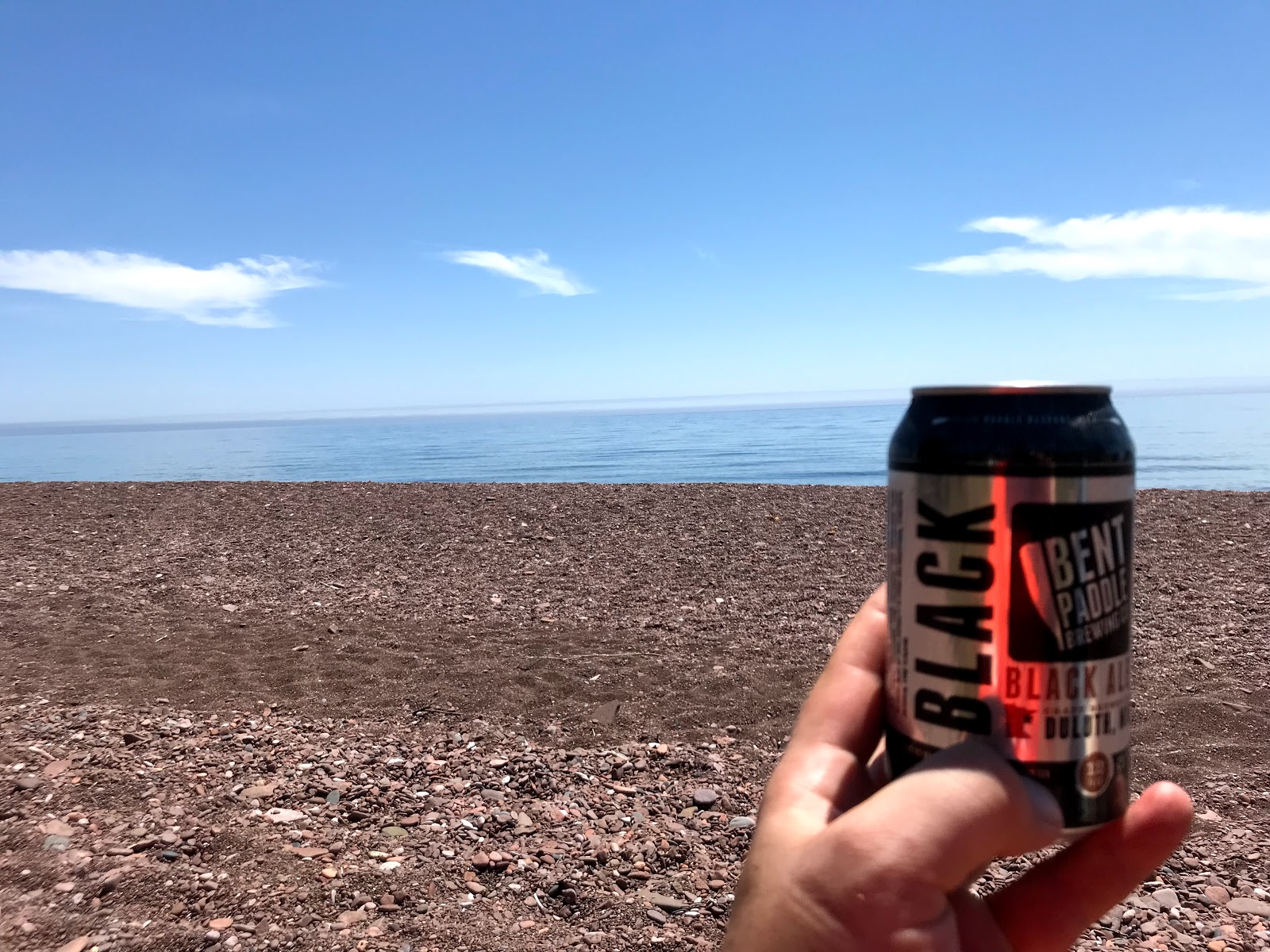
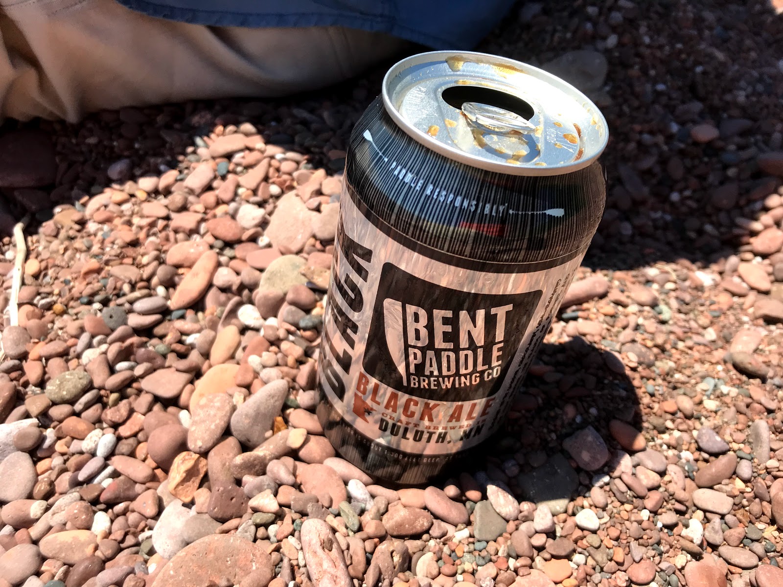
Bent Paddle
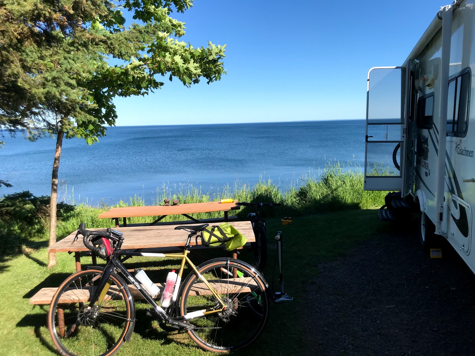
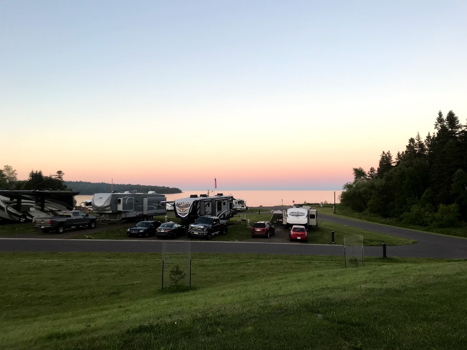
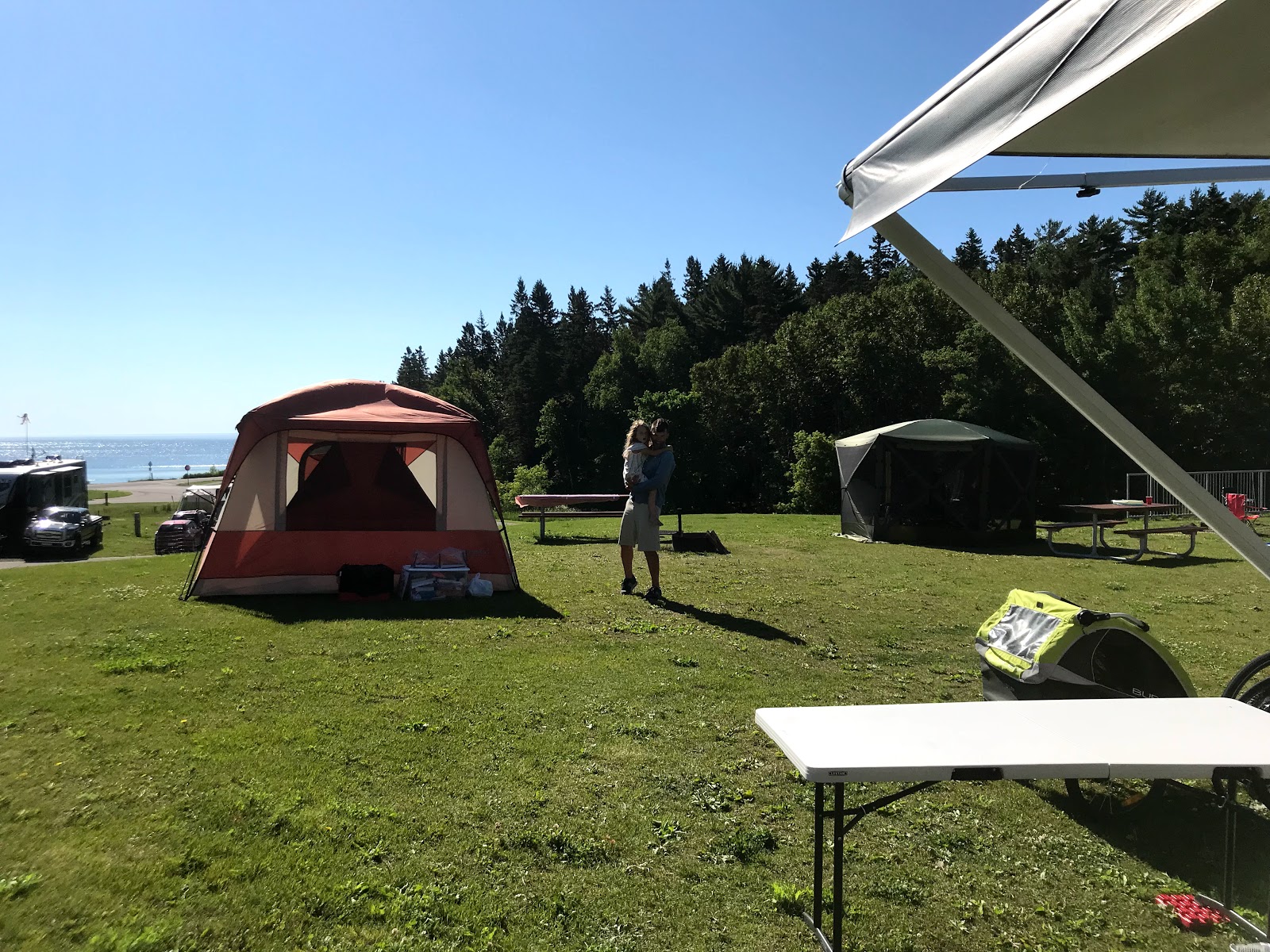
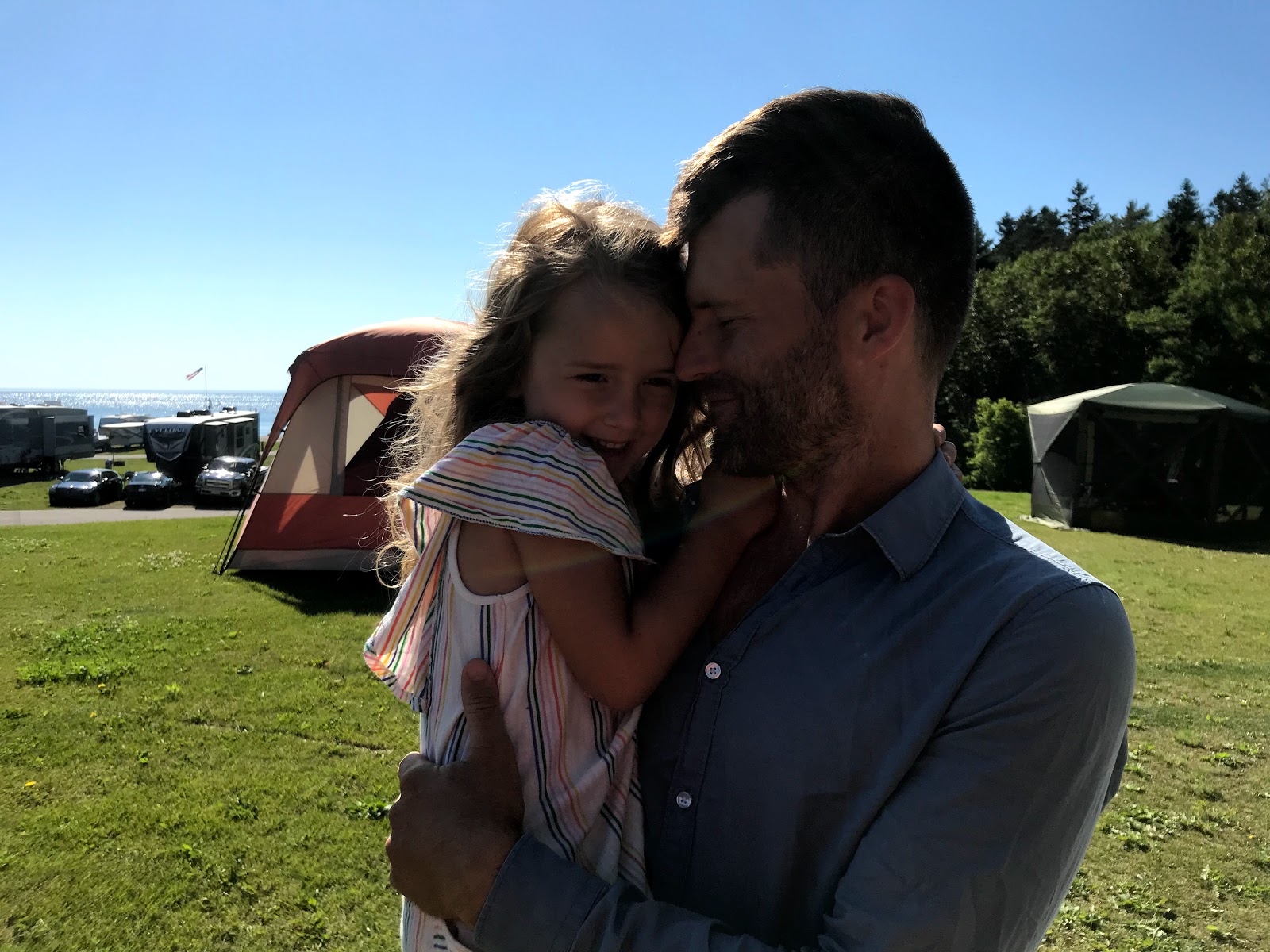
Day 7: Spirit Mountain to Two Harbors
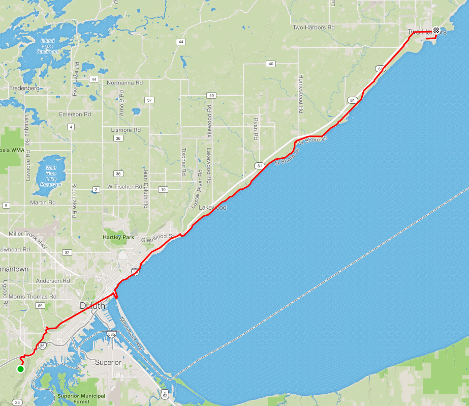
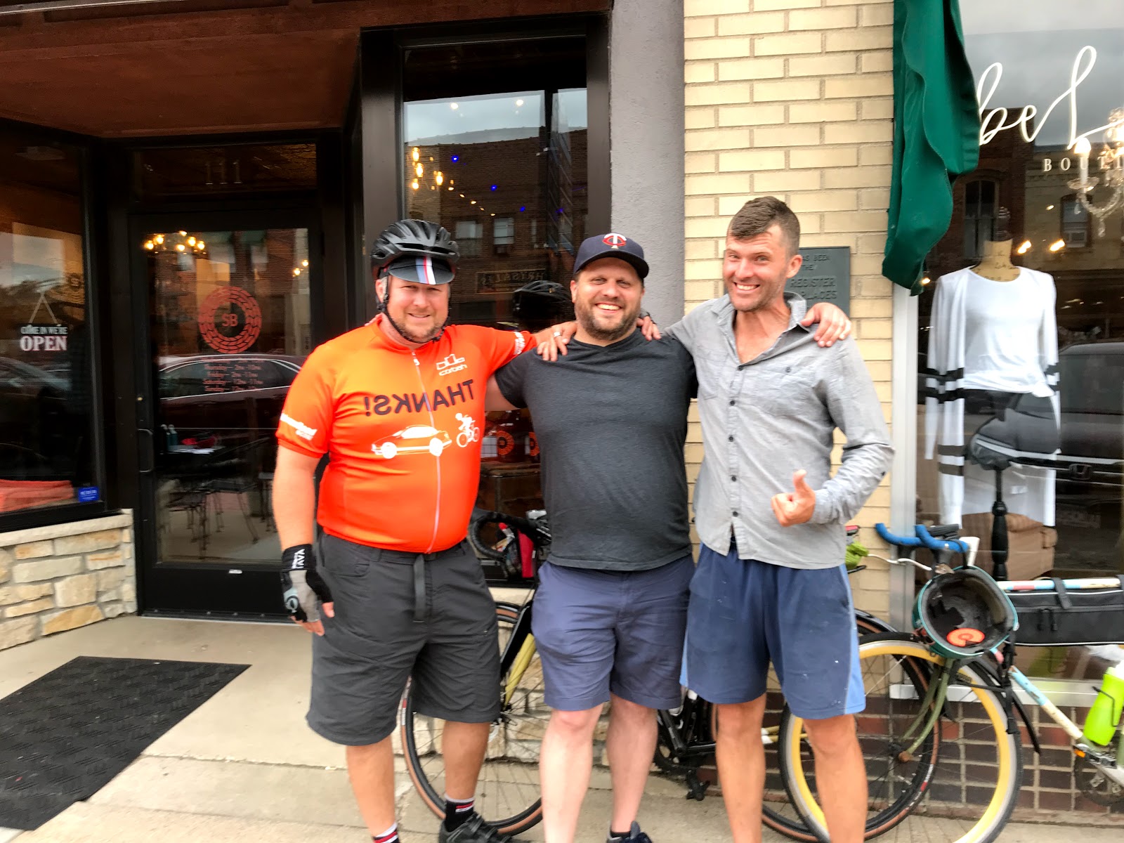
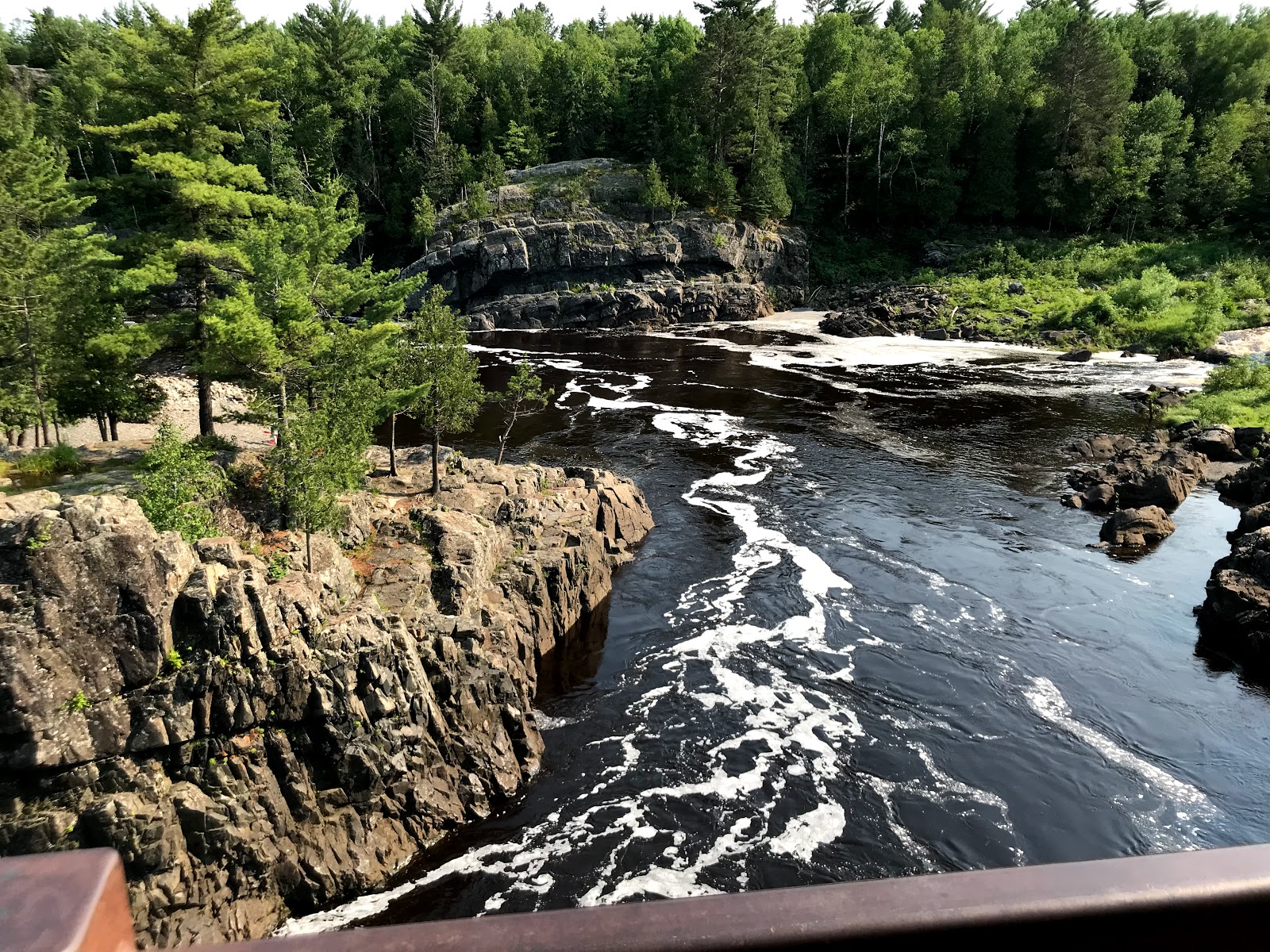
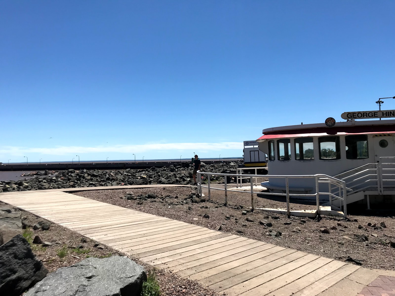
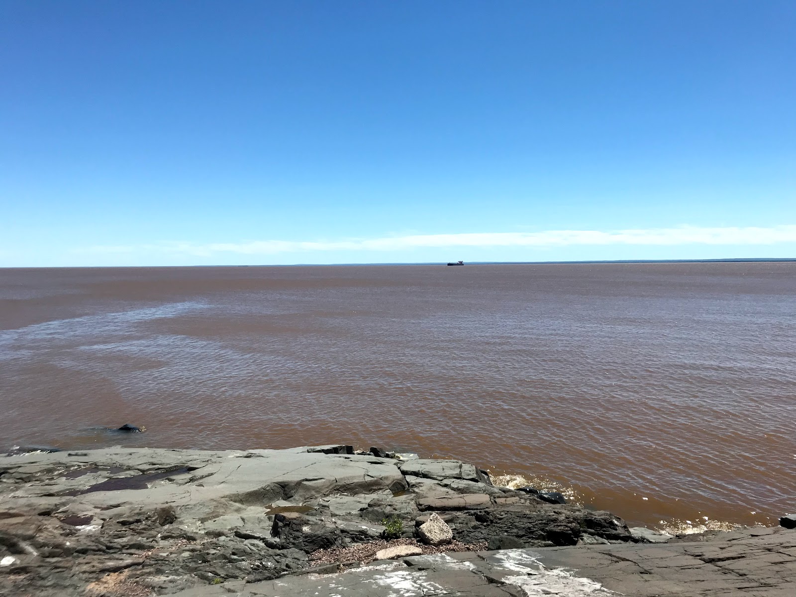
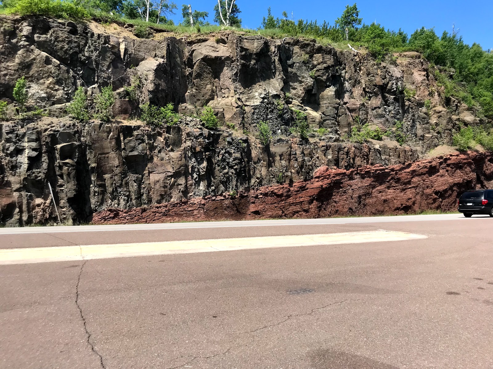
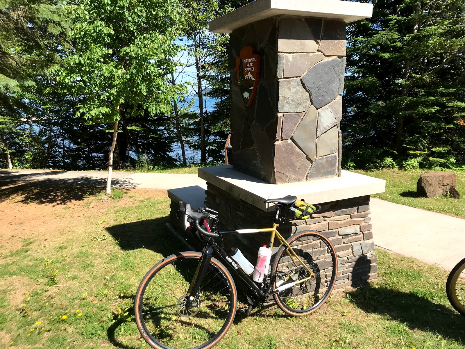
Leaving Duluth to Two Harbors and the North Shore!!
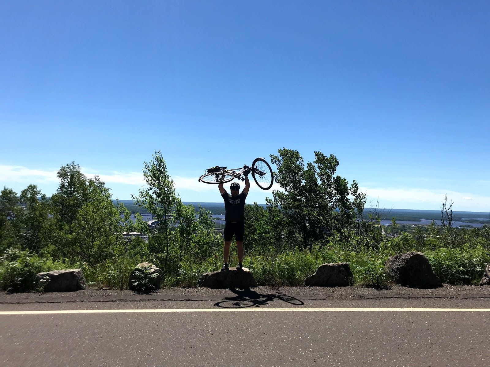
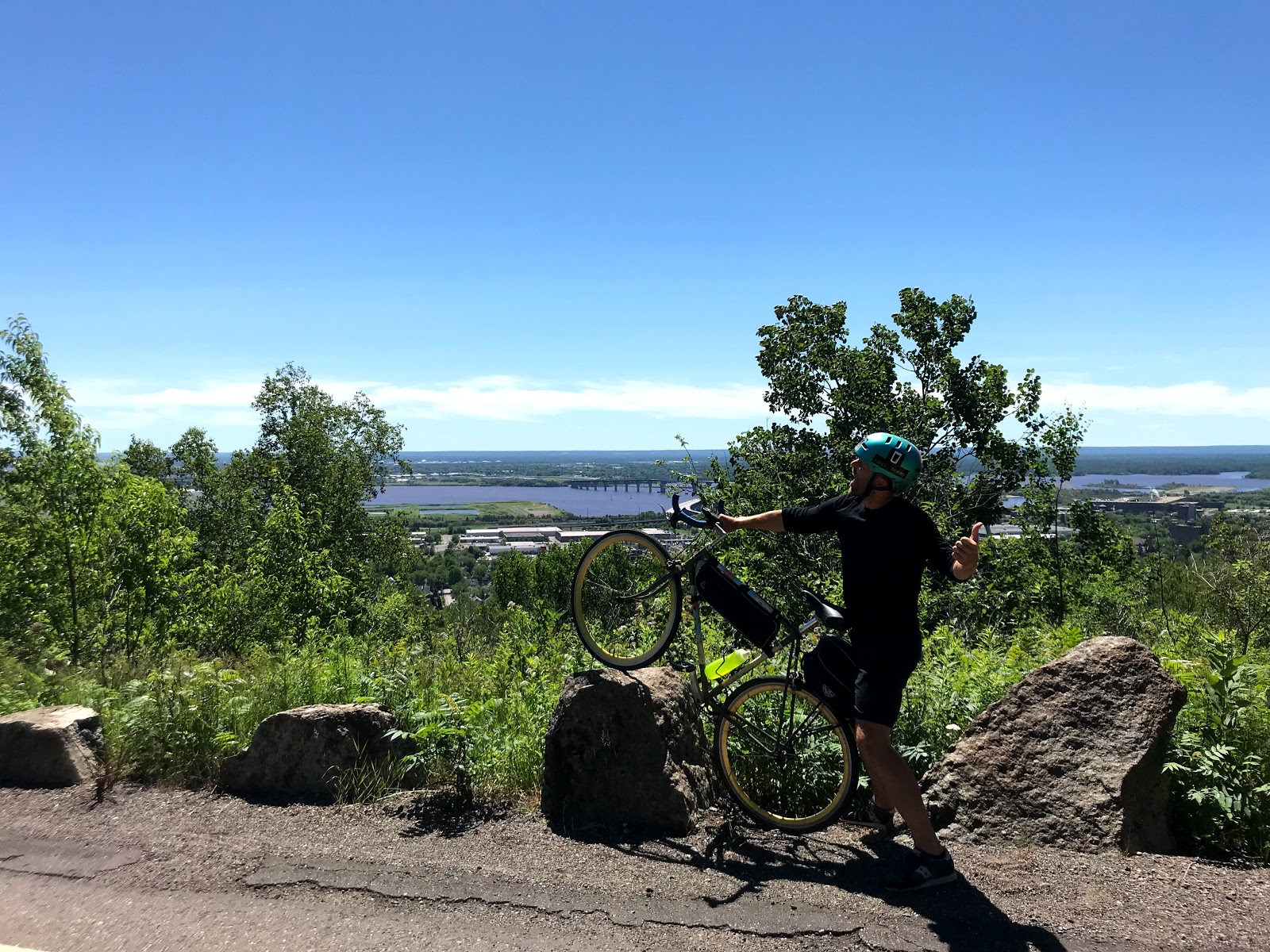
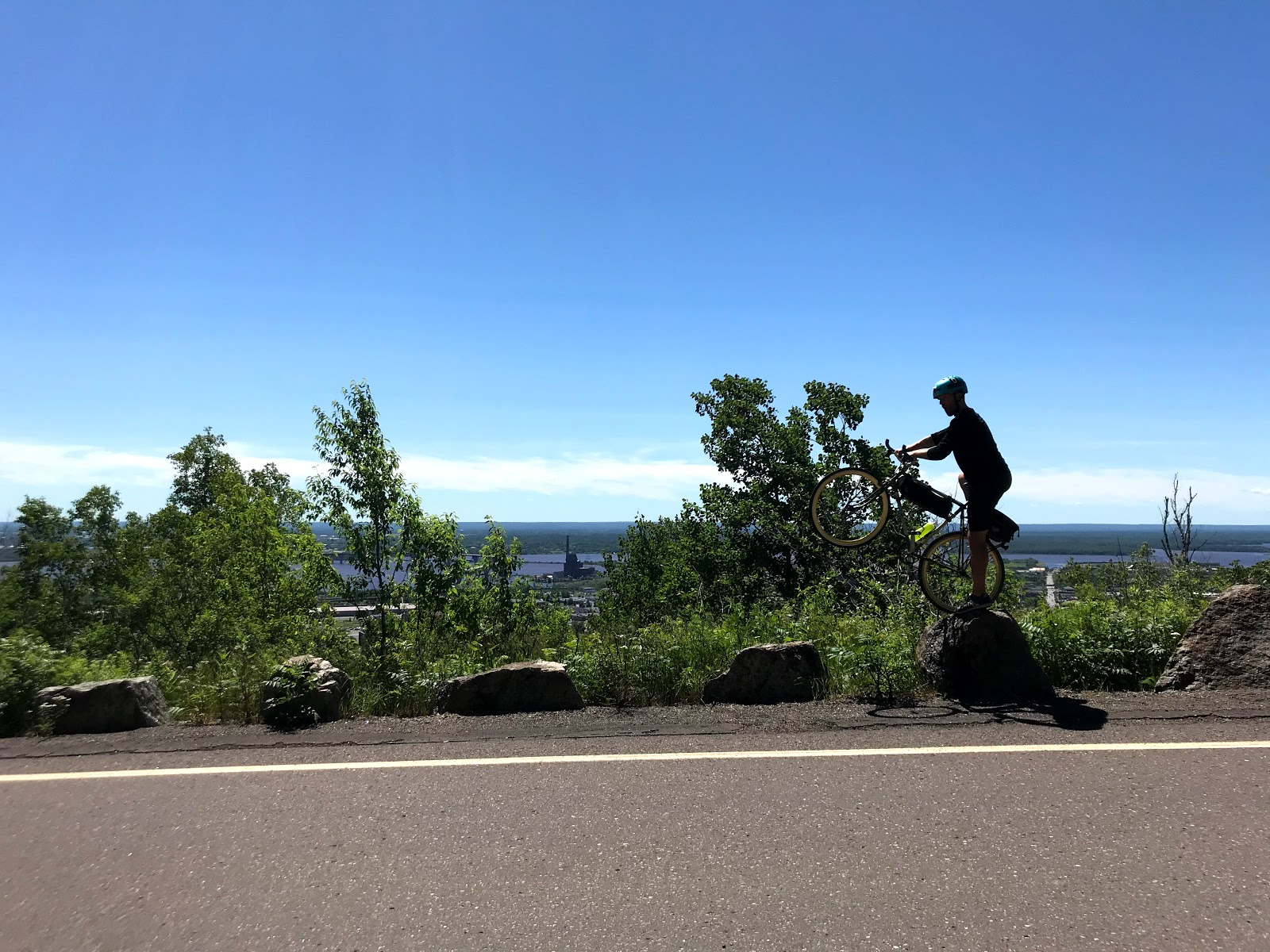
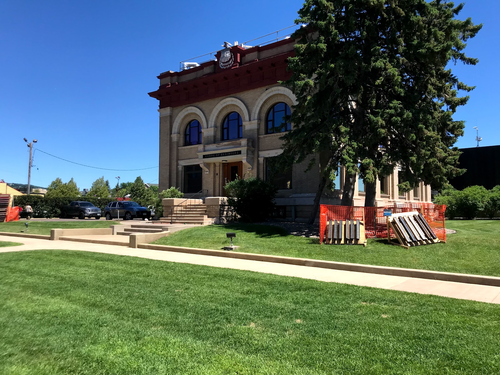
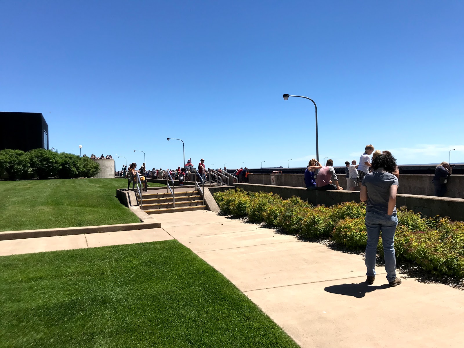
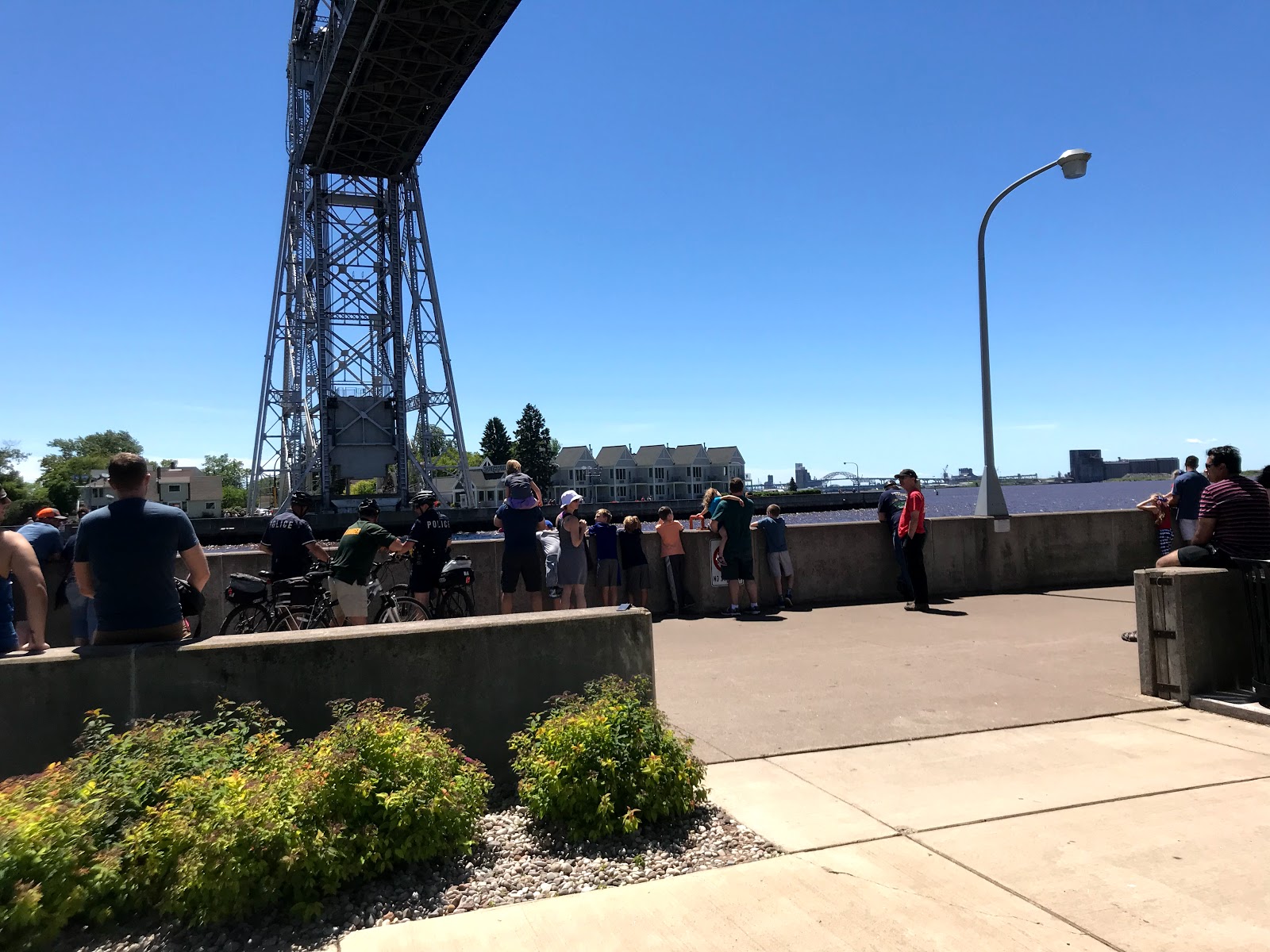
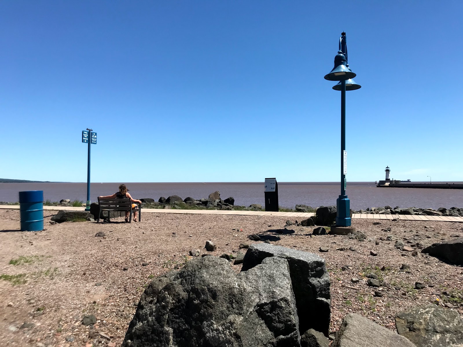
We found some beautiful scenic overlooks in Duluth leaving Spirit Mountain campgrounds. We met up with Neal Jahren at canal park while the lift bridge was raised to release a barge onto Lake Superior. The three of us rode up to Two Harbors today for the next leg of the ride. Now at the Two Harbors campground, overlooking the lake, jumping into the lake was equivalent to taking an ice bath, but totally worth it.
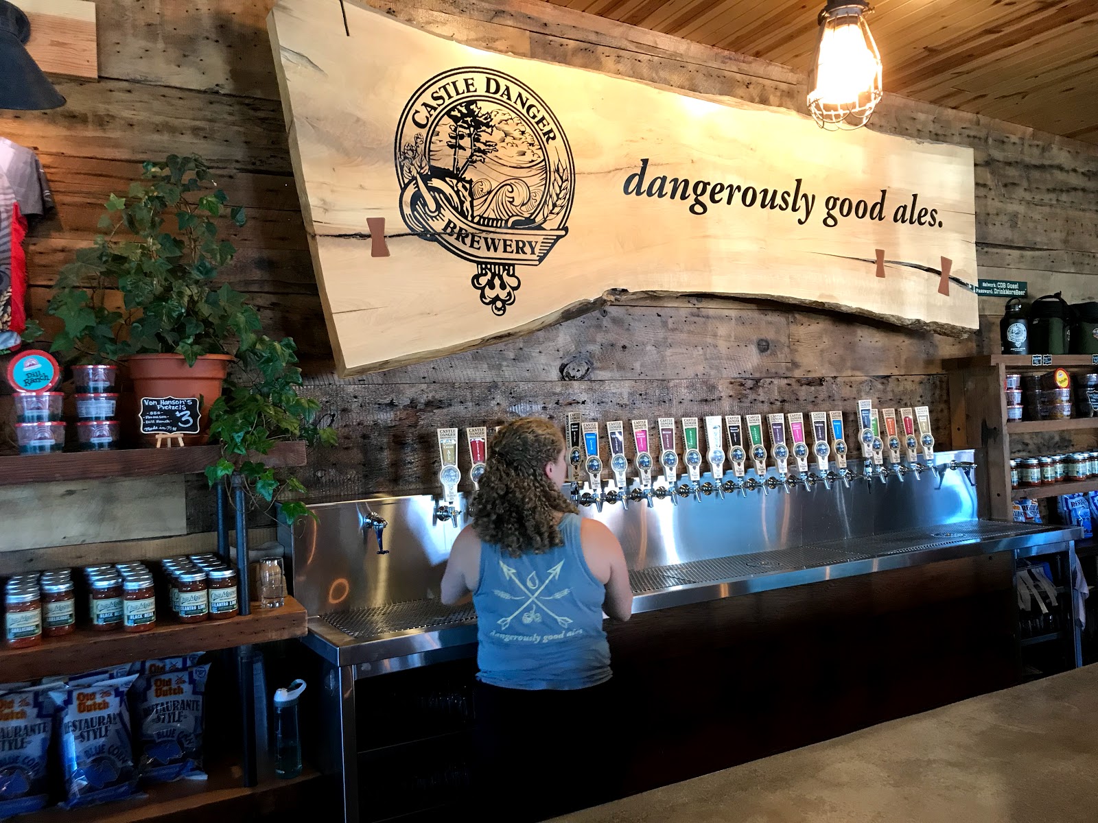
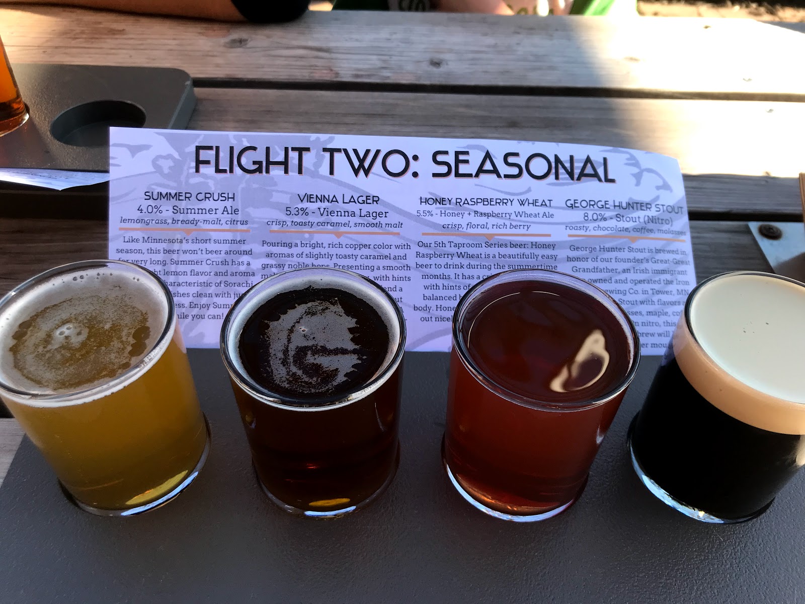
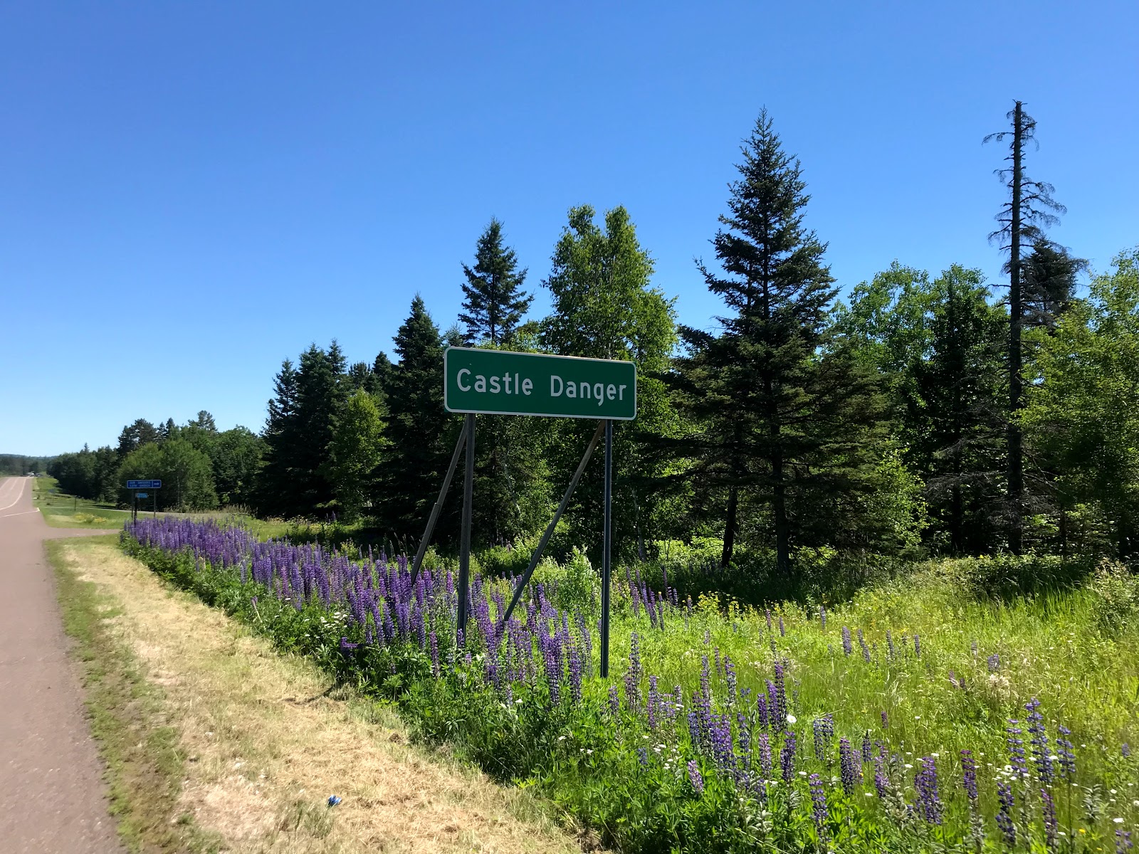
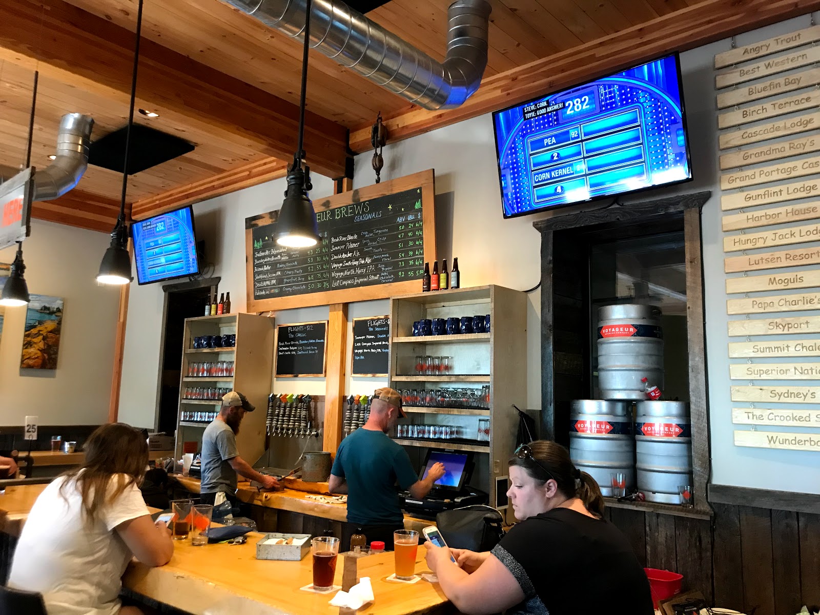
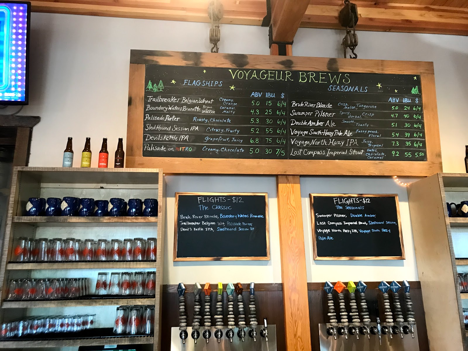
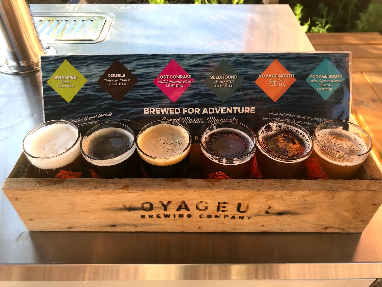
Castle Danger brewery!! Two Harbors
This place was way bigger than I could have imagined. With a huge outdoor deck and play area everyone got to relax in the afternoon sun, even the kids, after they had their share of sodas.
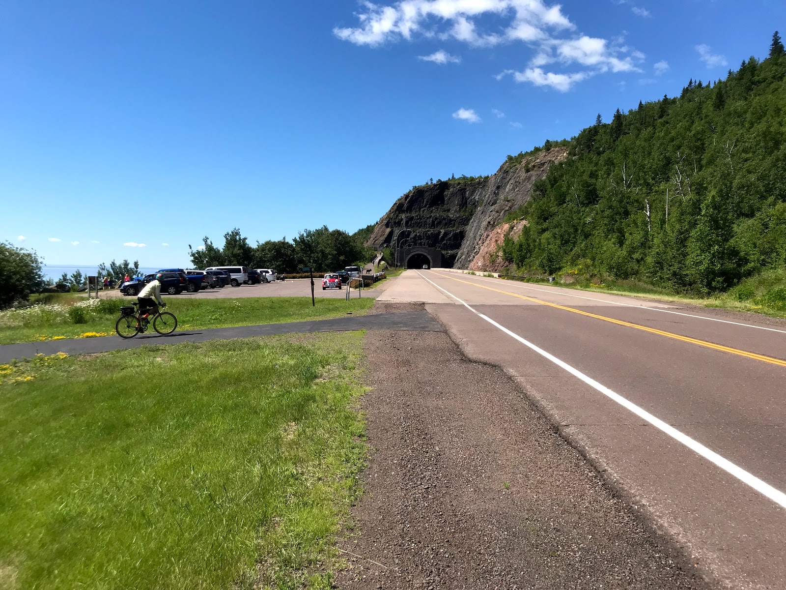
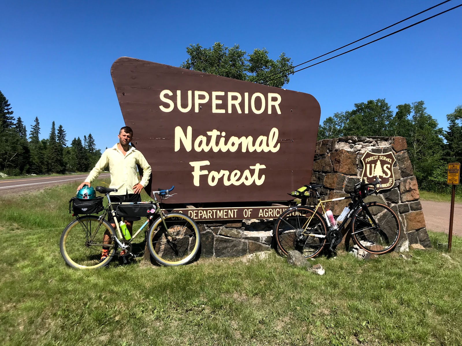
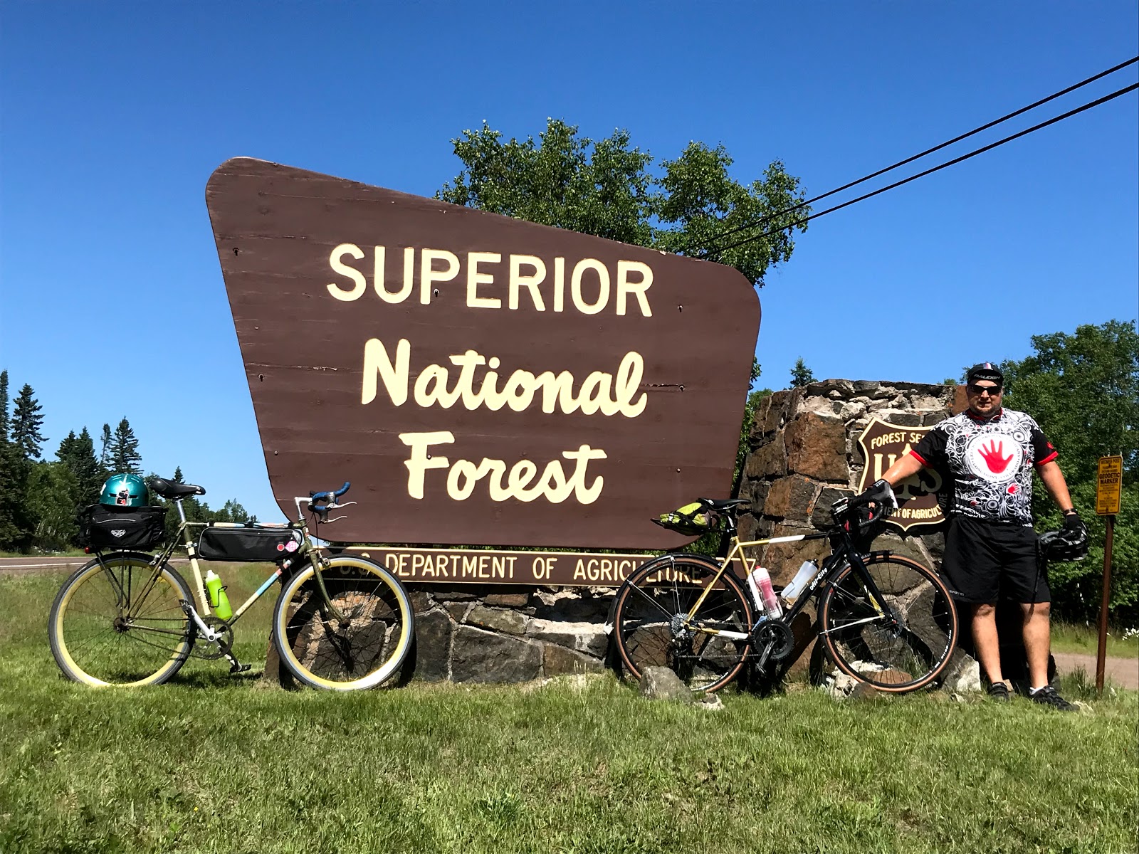
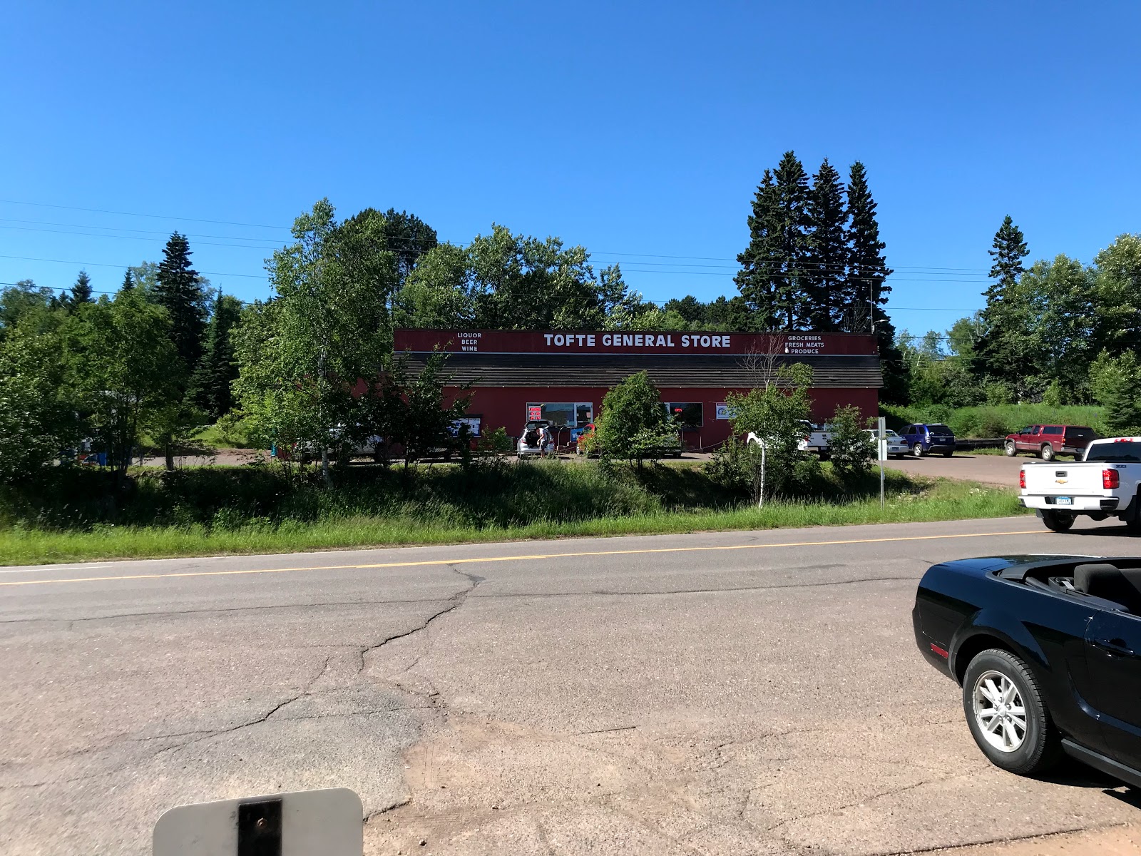
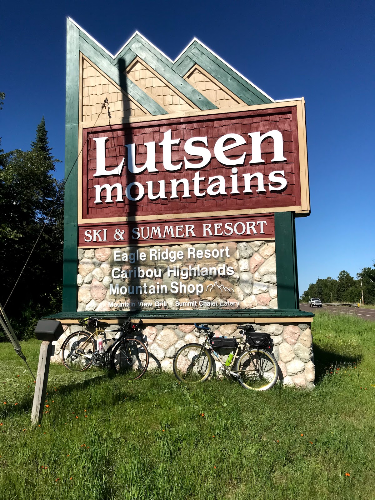
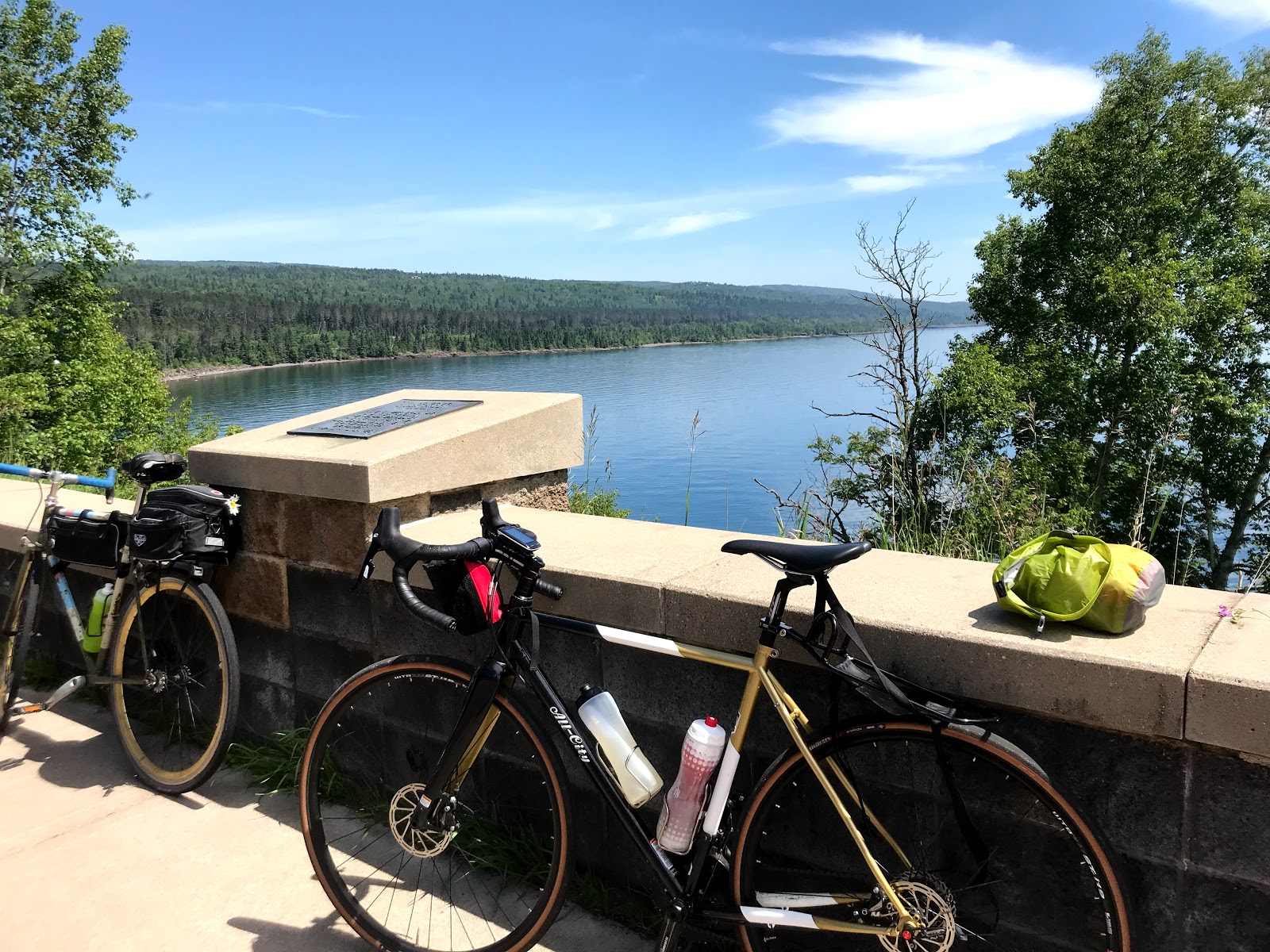
Day 8: Two Harbors to Lutsen
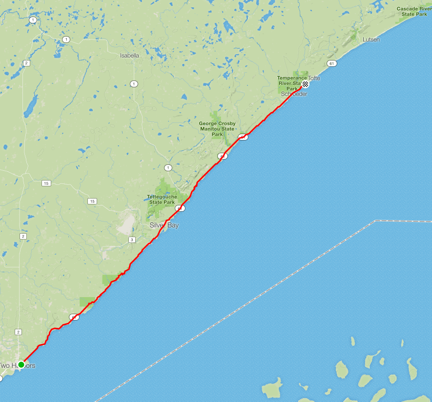
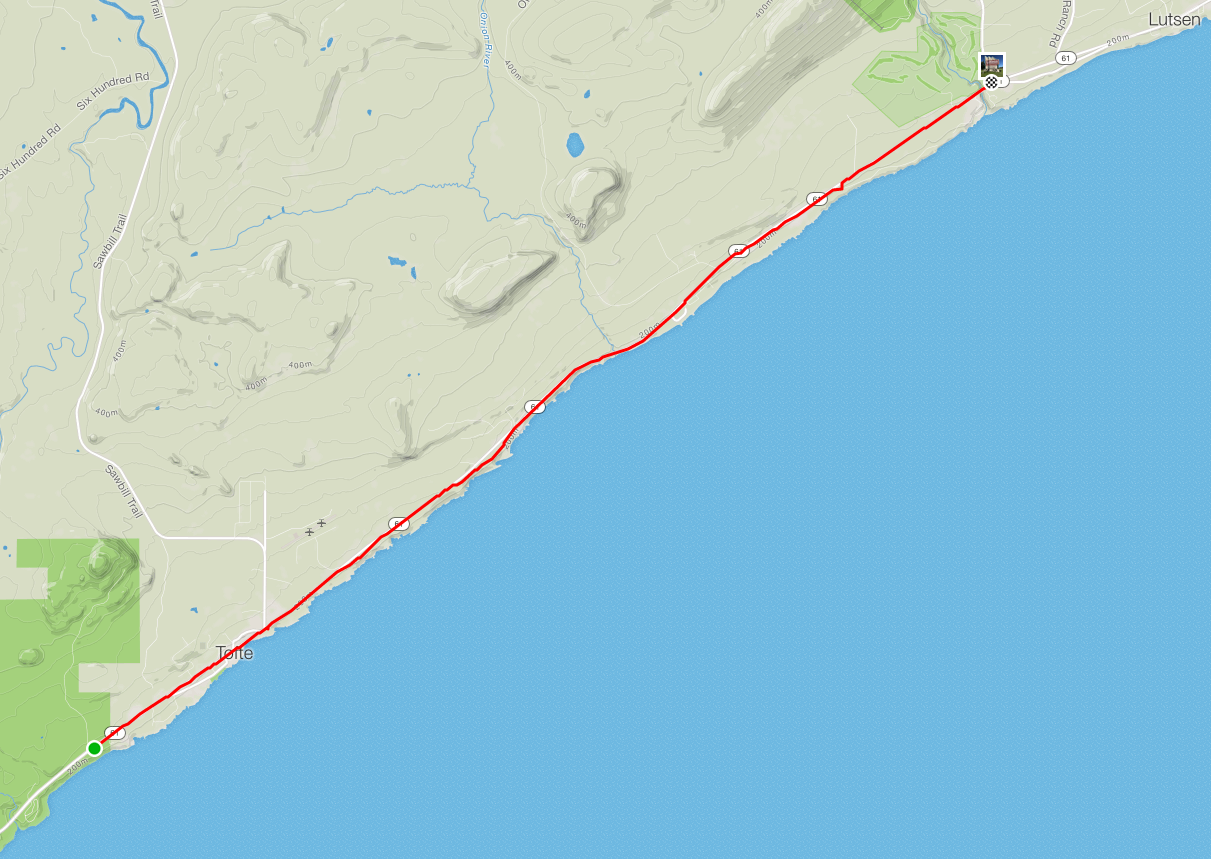
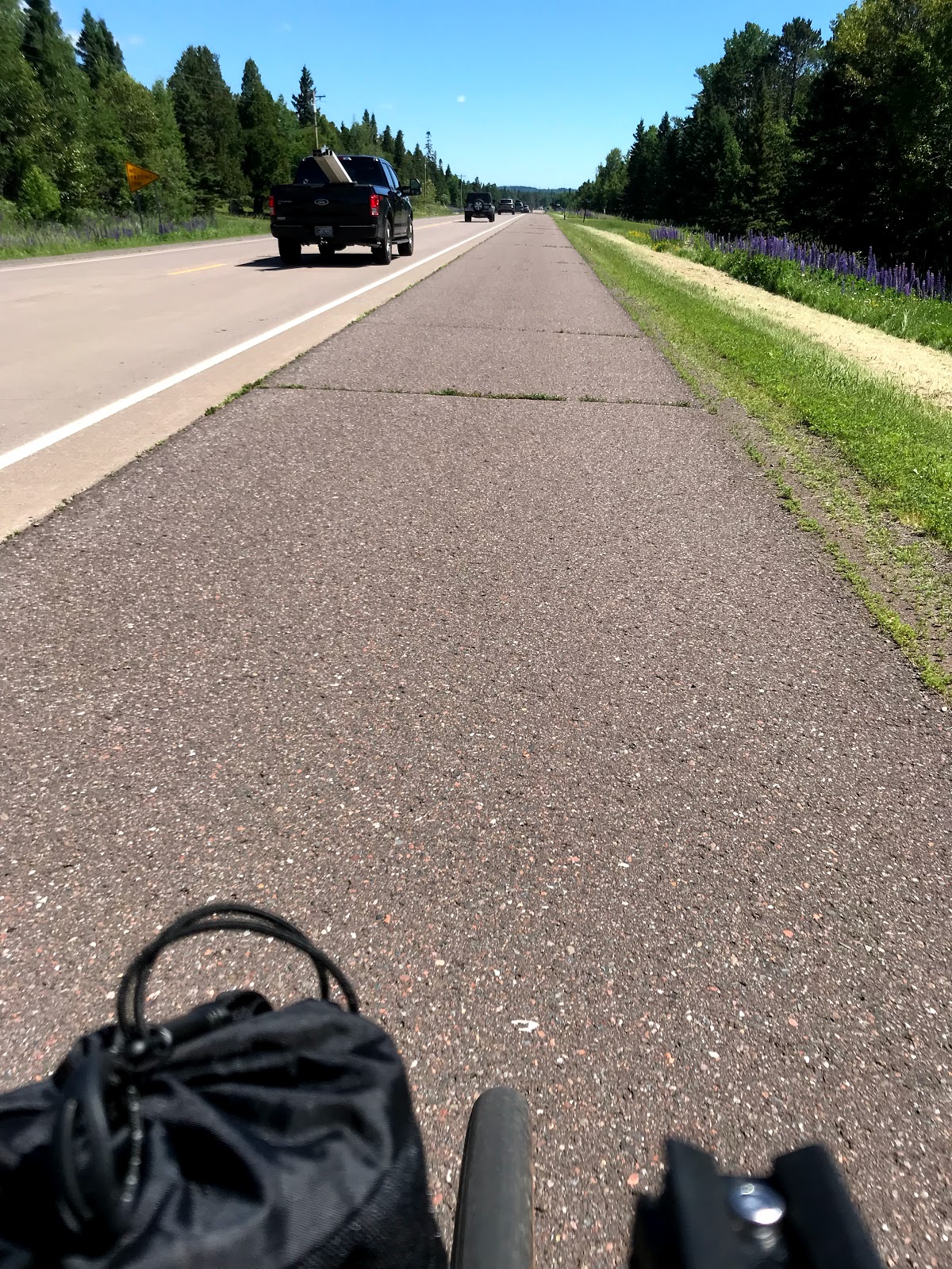
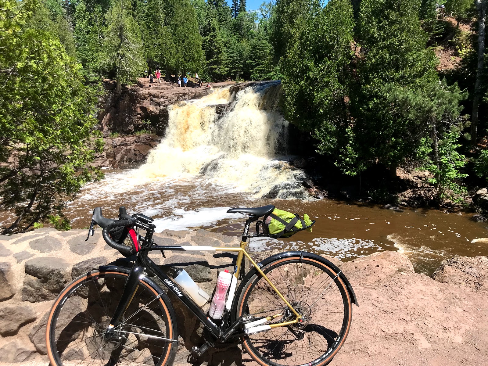
We made some great distance on the Gitchi-Gami Trail and even cut through Gooseberry Falls. Overall it was a solid day, despite a few drivers riding us close for the miles we rode on 61.
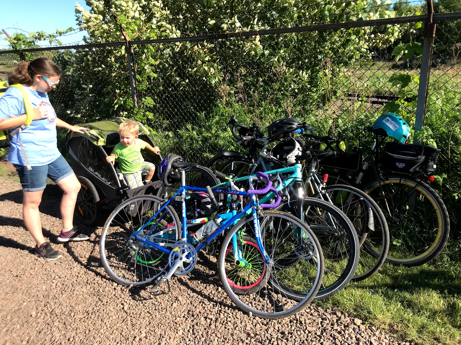
Ride finished!!!
I plan to make at least two more updates when I get home. A. Strava/Garmin maps of our rides each day. B. Some final thoughts about the ride once I'm not so exhausted, hah. Here are some final photos from today!
Journey Reflection
After nearly 500 miles across Minnesota's diverse landscapes, from the southwestern corner to the northeastern tip at Grand Portage, we've experienced the state in a way few ever do. The combination of challenging rides, unexpected weather, and incredible camaraderie made this journey unforgettable. Thanks to everyone who supported us along the way!